
These Are the Wettest Places on Earth
Most travelers hope for clear blue skies and abundant sunshine on their vacations, but there are some places where rainfall reigns supreme. In these locales, near-constant precipitation dramatically shapes landscapes and cultures to create some of the most interesting destinations on the planet. From the islands of Hawaii to the hills of northeastern India, discover nine of the wettest places in the world, according to the CIA World Factbook.
9. Pu’u Kukui – Maui, Hawaii
366 inches of annual precipitation
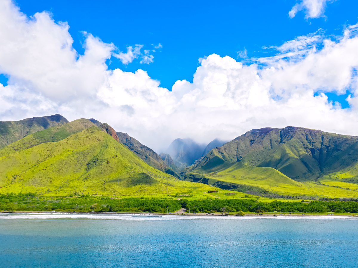
Rising 5,788 feet above the West Maui Mountains, Pu’u Kukui (Hawaiian for “Hill of Light”) is the second-tallest point on Hawaii’s second-largest island. The dormant volcano shelters the Pu’u Kukui Watershed Preserve, one of the most biologically diverse areas in Hawaii and home to dozens of rare endemic species. The forest also absorbs the area’s considerable rainfall — around 366 inches per year on average — which is later used as a water source for West Maui.
Organized, volunteer-led hikes around the forest bring visitors up close with plant and animal species unique to the area. These include a tree-living land snail and long, sharp plants known as silverswords. There’s also a 4-mile boardwalk up to the summit, which is only accessible via these limited-availability hikes with the nonprofit conservation group Aloha Puʻu Kukui.
8. Mount Waialeale – Kauai, Hawaii
384 inches of annual precipitation
With a name that translates to “rippling water” or “overflowing water,” it’s probably no surprise that Mount Waialeale ranks among the world’s wettest places. Several factors contribute to the heavy rainfall — between 384 and 450 inches per year on average — at this 5,148-foot-tall shield volcano. These include the mountain’s ability to trap moisture from trade winds, its humid environment, and sheer cliffs that facilitate moisture accumulation.
Waipoo Falls and dozens of other thin waterfalls flow down crevices in the mountain’s striking green cliffs. They converge in a freshwater pool before feeding the Wailua and Waimea rivers. Due to its remote location on central-western Kauai, Waialeale is accessible only by helicopter and plane tours.
7. Big Bog – Maui, Hawaii
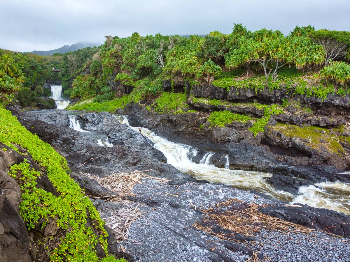
404 inches of annual precipitation
Part of the Hāna Forest Reserve on the eastern side of Haleakalā National Park, Big Bog receives a little over 400 inches of annual precipitation on average. This high-altitude bog has a 5,400-foot elevation that produces a tropical rainforest climate with almost constant rainfall.
It’s the result of a phenomenon called the orographic effect: When moist air is forced to rise over high terrain, it cools to create clouds and precipitation. Although visited by researchers, the bog is a protected area with muddy terrain, and the risk of flash flooding makes it largely inaccessible to tourists.
6. Debundscha – Cameroon
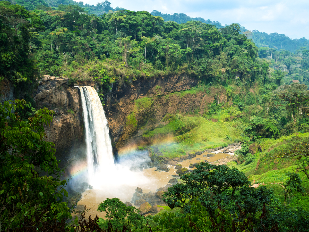
406 inches of annual precipitation
The small village of Debundscha sits on the shores of the Gulf of Guinea in the shadow of 13,255-foot-tall Mount Cameroon. It is Africa’s second-wettest place, with most of its 400-plus inches of annual rainfall occurring between June and October. Debundscha’s persistently soggy weather during these months is also caused by an orographic effect, with moist air from the Atlantic Ocean rising over the mountain. Another factor is the village’s proximity to the equator, which generates a permanently humid climate.
The rains help to nurture the scenic landscapes and rich biodiversity of nearby Mount Cameroon National Park. A vast volcanic mass, it’s home to approximately 2,300 plant species and over 200 bird species. They thrive amid an ecosystem of grassland, mangrove, and montane forest.
5. San Antonio de Ureca – Equatorial Guinea
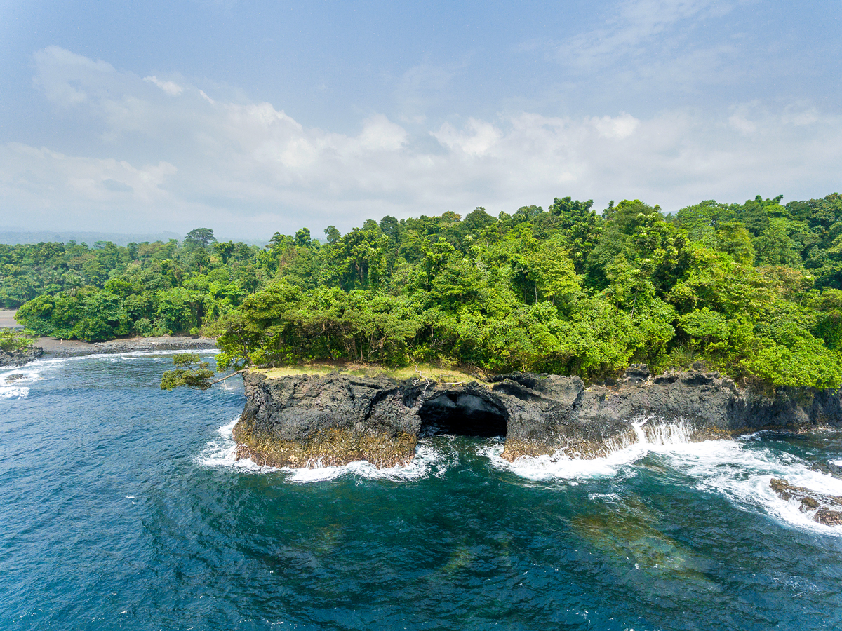
411 inches of annual precipitation
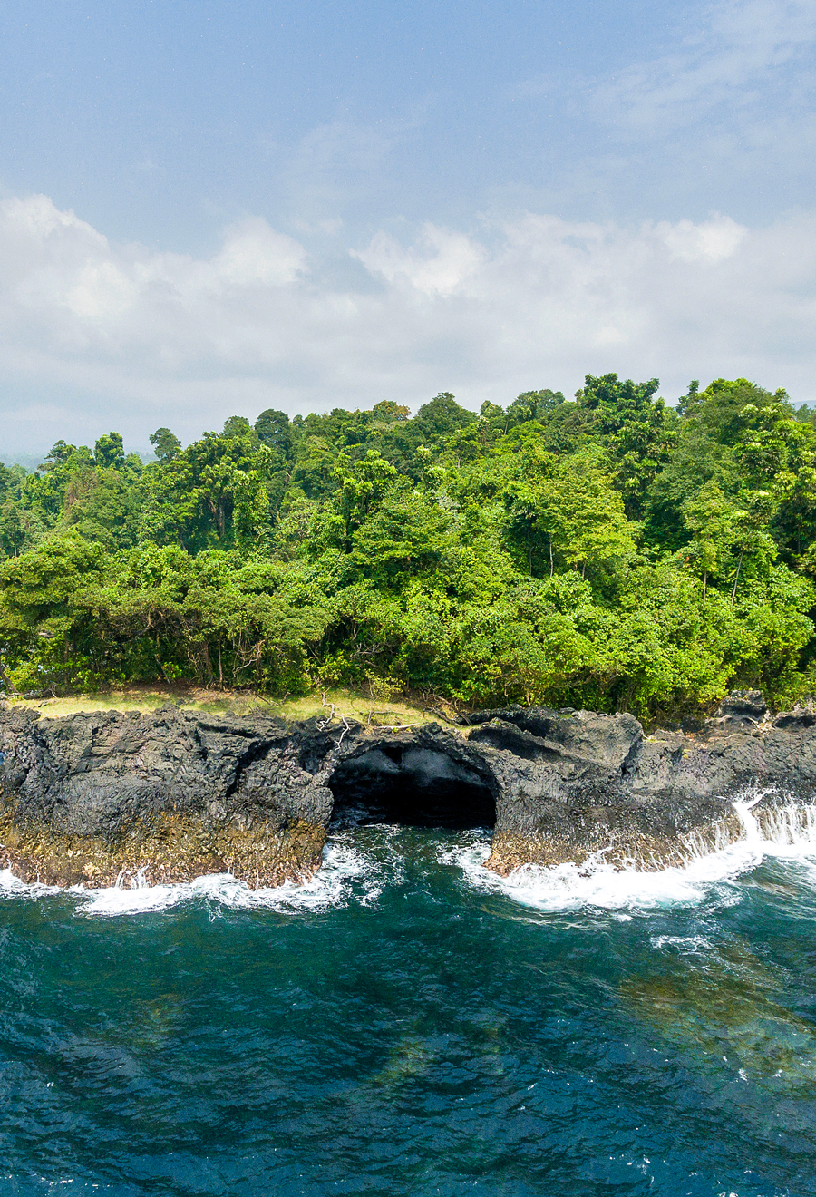
Receiving near-constant precipitation in the rainy season from November to March, the wettest place on the African continent is San Antonio de Ureca. This coastal village — located on the isolated southernmost coastline of Bioko Island in Equatorial Guinea — receives over 410 inches of rain each year on average.
With black-sand beaches, thick jungle, and spectacular waterfalls, the surroundings here are picture-perfect. During the dry season, Ureca is a popular destination among intrepid waterfall hunters. With some careful planning, plenty of water, and sun protection, it’s possible to follow trails to four falls called the Cascades of Moca. Those who complete the journey often find that they have the falls all to themselves.
4. Cropp River – New Zealand
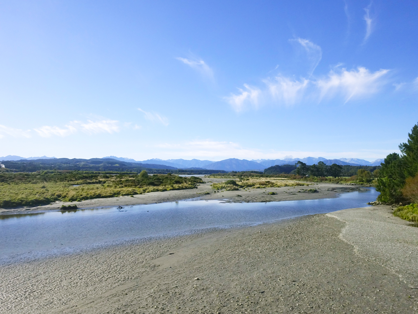
453 inches of annual precipitation
Despite flowing for just under 6 miles, the Cropp River in Kakapotahi — the western region of New Zealand’s South Island — receives the most rainfall of any place in Oceania. In December 1995, the area registered 41.3 inches of rain in a period of 48 hours, which was a record for the country at the time. Remote and enveloped by lush native flora, the river is close to the Hokitika Gorge. Visitors descend upon the gorge to hike trails and admire its turquoise waters and limestone cliffs. The trails were once part of an Indigenous Māori route to the Canterbury region via treacherous mountain passes.
3. Tutunendo – Colombia
463 inches of annual precipitation
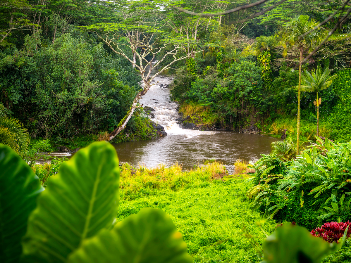
Tutunendo, meaning “river of aromas” in the Emberá language, is a small town in Colombia’s Choco Department. Because of its proximity to the equator and Pacific Ocean, locals have to contend with year-round rain. To encourage tourism to the town and showcase its biodiversity, the Sendero Ecoturistico de Tutunendo was opened in 2021. This almost mile-long boardwalk connects the Tutunendo River with the Cascada Sal De Frutas waterfall, passing through dense jungle on the way. In a pool at the foot of the falls, visitors can bathe in the waters, said to have healing properties. Canoe tours along the river are also offered.
2. Cherrapunji – India
464 inches of annual precipitation
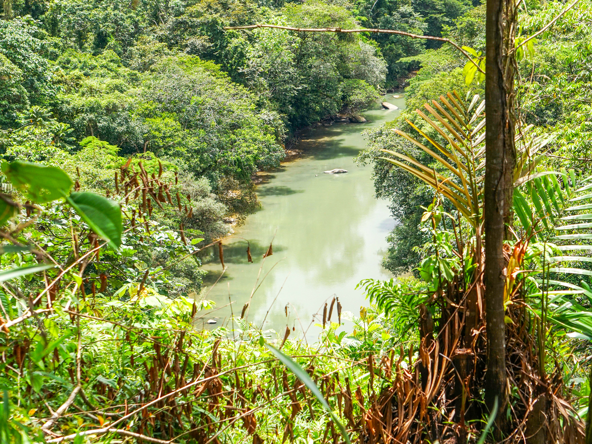
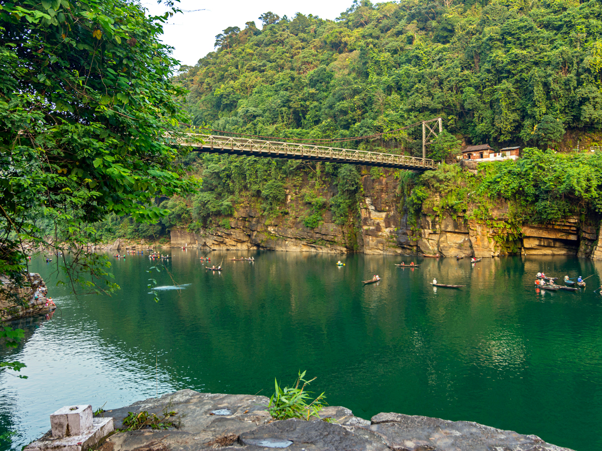
Cherrapunji (also known as Sohra) is located high above the Shillong Plateau in the East Khasi Hills of northeastern India. From June through September, this town in the state of Meghalaya is besieged by legendary monsoons that are responsible for an average of more than 460 inches of rain each year. In 1861 alone, over a thousand inches of rain fell during the year.
Surprisingly, however, Cherrapunji experiences droughts in winter, with little to no rainfall. The rain that does arrive helps to create a breathtaking landscape of green forests, dramatic limestone caves, rushing rivers, and gorgeous waterfalls. Highlights for visitors include the illuminated Mawsmai Cave and a hike to Nohkalikai Falls. The town is also famous for its living root bridges, built by the local Khasi peoples from the rubber trees that grow alongside streams and rivers.
1. Māwsynrām – India
467 inches of annual precipitation
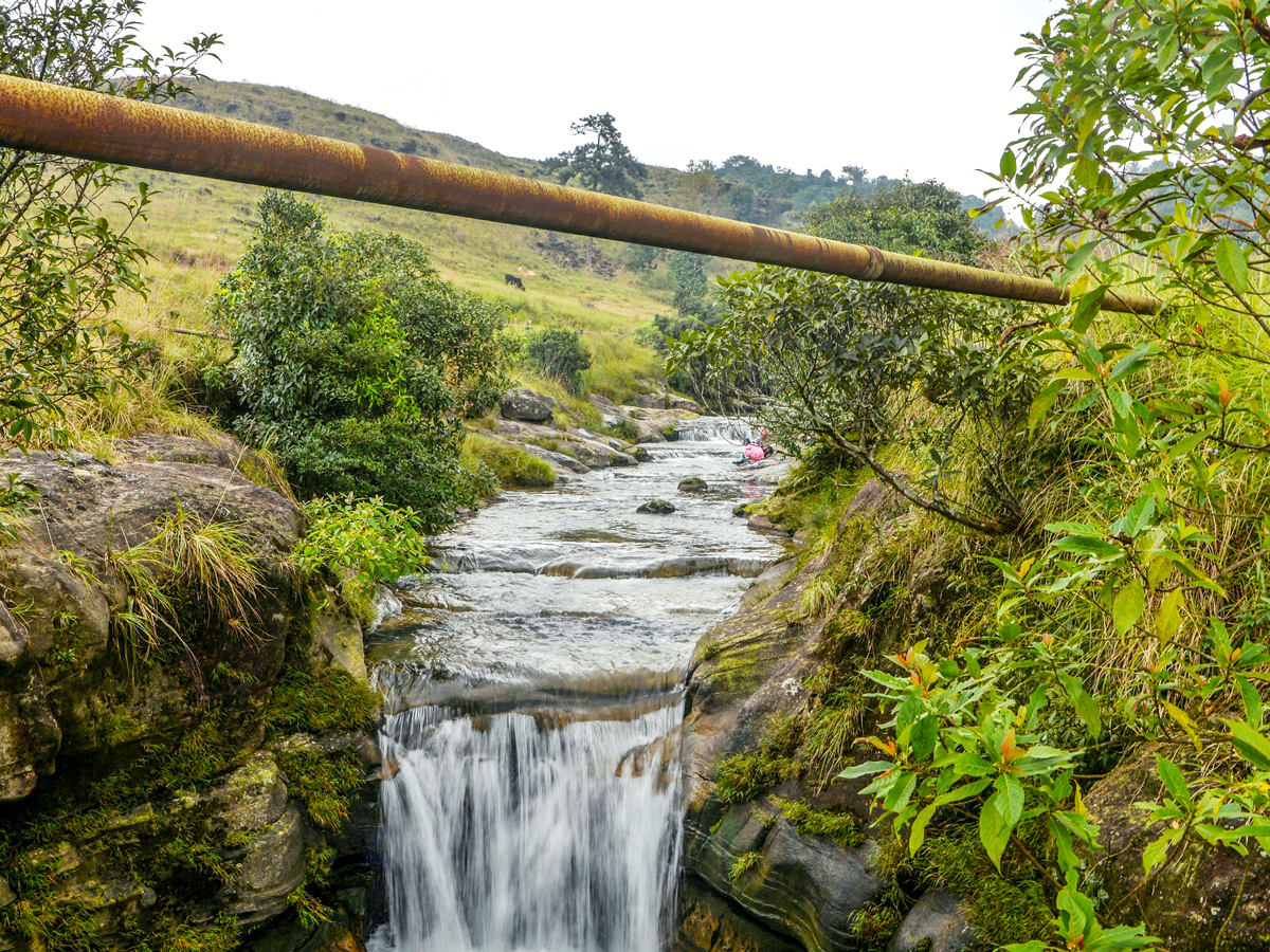
Situated less than 10 miles west of Cherrapunji as the crow flies, Māwsynrām is the wettest place on Earth. Like its neighbor, this high-altitude town experiences a mighty monsoon season in the summer months, amounting to 467 inches of average annual rainfall. There are two main causes for the wet weather in Māwsynrām: One is that India’s southwest monsoon carries huge amounts of water from the ocean; the other is that the Shillong Plateau blocks the monsoon winds that arrive from the Bay of Bengal, forcing them upward and creating more moisture.
To mitigate the sound of the rain, locals often soundproof their homes with grass. They also use knups, which are umbrellas made from bamboo, plastic sheets, and grass. If you find yourself in Māwsynrām, you can trek around the verdant valleys and visit Mawjymbuin Cave, a limestone cavern revered in Hinduism.
More from our network
Daily Passport is part of Inbox Studio, an email-first media company. *Indicates a third-party property.