The 10 Flattest U.S. States


Not all states are created equal — at least when it comes to topography. Whether a state is mountainous or flat was set in stone long before humans came around, thanks to the geological forces that formed America’s current landscape over billions of years. Here are the flattest states in the U.S., ranked by the difference between the highest and lowest elevation points in each state.
10. Wisconsin
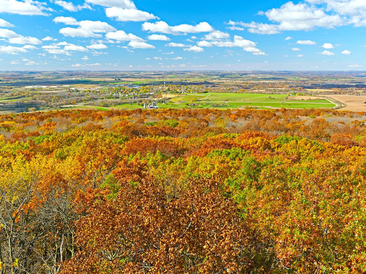
Throughout the Badger State, there’s a difference in elevation of only 1,371 feet, making it the 10th-flattest state in America. The highest point in Wisconsin is Timms Hill, where two observation towers provide expansive views from the 1,952-foot summit. The Timms Hill Trail also connects to Wisconsin’s Ice Age Trail, a National Scenic Trail that runs across the state, providing access to interesting geological features formed by melting glaciers roughly 10,000 years ago. Lake Michigan marks the state’s lowest elevation point, at 581 feet above sea level.
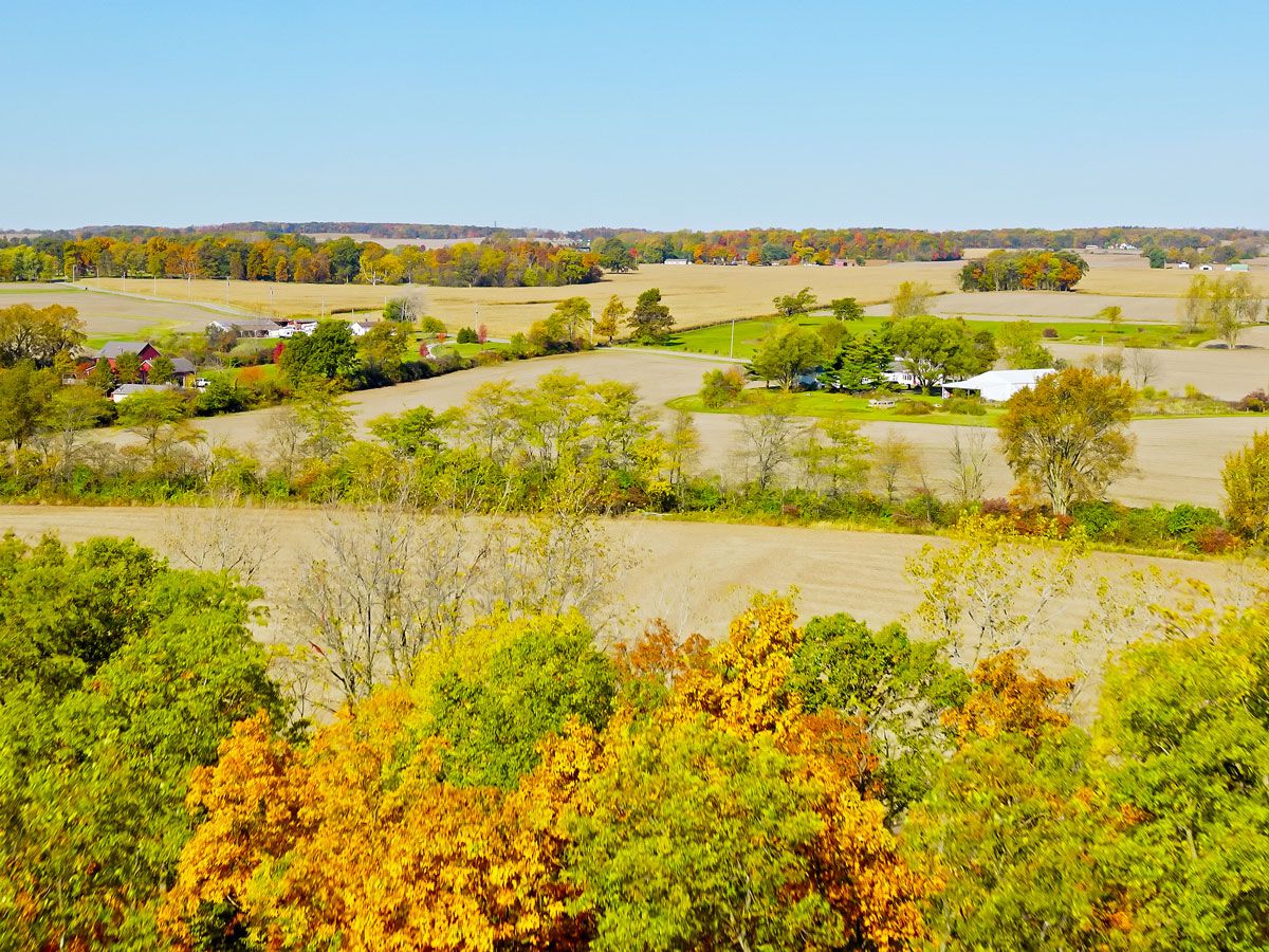
9. Iowa

Even though it’s home to miles of cornfields, Iowa isn’t as flat as you might think. The difference in elevation between the state’s high and low points is 1,191 feet, thanks to Hawkeye Point, an unassuming hill that rises 1,670 feet above sea level. Most of Iowa’s flatness, however, is thanks to the Mississippi Alluvial Plains, which are broad lowlands along the Mississippi River that formed thousands of years ago from glacial runoff.
8. Ohio
If you’re driving through Ohio, make sure to stop by Campbell Hill, the state’s highest point, at 1,549 feet above sea level. Since you can drive right up to the point on a local school campus, no hiking is required. Despite this high point, the rest of the state is noticeably flat, thanks to a massive glacier that advanced through the region during the last ice age, forming both Lake Erie and the Great Black Swamp, a large Midwestern wetland. Ohio’s lowest elevation, at 456 feet above sea level, is where the Ohio River leaves the state at the Indiana border.
7. Illinois
With few hills to speak of, the highest natural point in Illinois is Charles Mound, which rises 1,237 feet above sea level and creates a difference of 958 feet with the state’s lowest point, where the Ohio and Mississippi rivers merge near Cairo. Charles Mound is located near the town of Galena in the only region of the state that wasn’t flattened by the last ice age. As a result, Galena has a few rolling hills and limestone bluffs; it’s also one of the most historic towns in the state, thanks to its past as a former steamboat hub on the Mississippi River.
6. Indiana
With a 935-foot difference between Hoosier Hill and the Ohio River Byway, Indiana is slightly flatter than its neighboring states of Illinois and Ohio. The state’s flattest topography can be found in the central and northern regions, known as the Tipton Till Plain, an area that was entirely covered by glaciers roughly 16,000 years ago. Since the glaciers did not extend to the southern region of present-day Indiana, this area of the state has small forested hills that define the landscape.
5. Rhode Island

Unlike its neighboring New England states, which contain mountains that range from 2,000 to 5,000 feet tall, Rhode Island’s highest point is a mere 812 feet above sea level. This summit on Jerimoth Hill is pretty accessible, too — a short 0.3-mile trail takes visitors to the geological marker marking the spot. The rest of Rhode Island’s flatness results from the state being on a coastal plain. With 400 miles of Atlantic coastline, it’s pretty easy to see why Rhode Island is nicknamed the “Ocean State.”
4. Mississippi

The highest point in Mississippi, Woodall Mountain, reaches 807 feet above sea level. The rest of the state’s flat landscape is due to the Mississippi Delta, an alluvial plain that covers western Mississippi. Although the great Mississippi is the main river, the delta is also made up of the Missouri, Ohio, Arkansas, and Red rivers, creating a vast network of swamps, waterways, and floodplains — and contributing to the state’s lack of variance in terrain.
3. Louisiana
Louisiana has miles of riverland, swampland, and floodplains that make it notoriously flat — with parts that are actually sinking. The state’s lowest point is the city of New Orleans, which is located below sea level due to being built on marshy land and having to face rising seas and improper city drainage. Louisiana’s highest point is Driskill Mountain, which stands 535 feet above sea level.
2. Delaware

Delaware is another state that is flat thanks to its location on a floodplain. Most of the state falls within the Atlantic Coastal Plain, which stretches from New Jersey to Florida. Delaware’s highest natural point, according to the Delaware Geological Survey, is Ebright Azimuth, located at 448 feet above sea level. The state’s lowest point is the coastline, mostly comprising sandy beaches along the Atlantic Ocean.
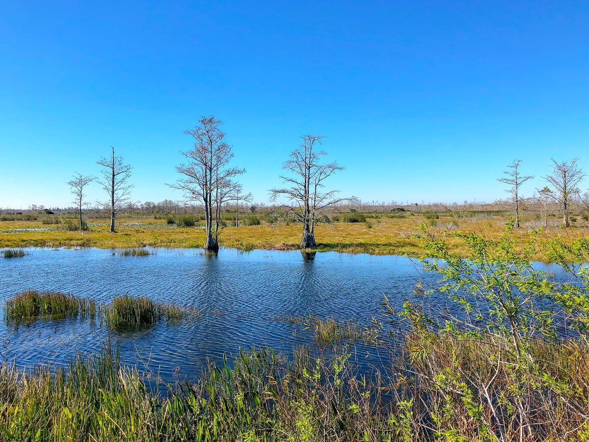
1. Florida
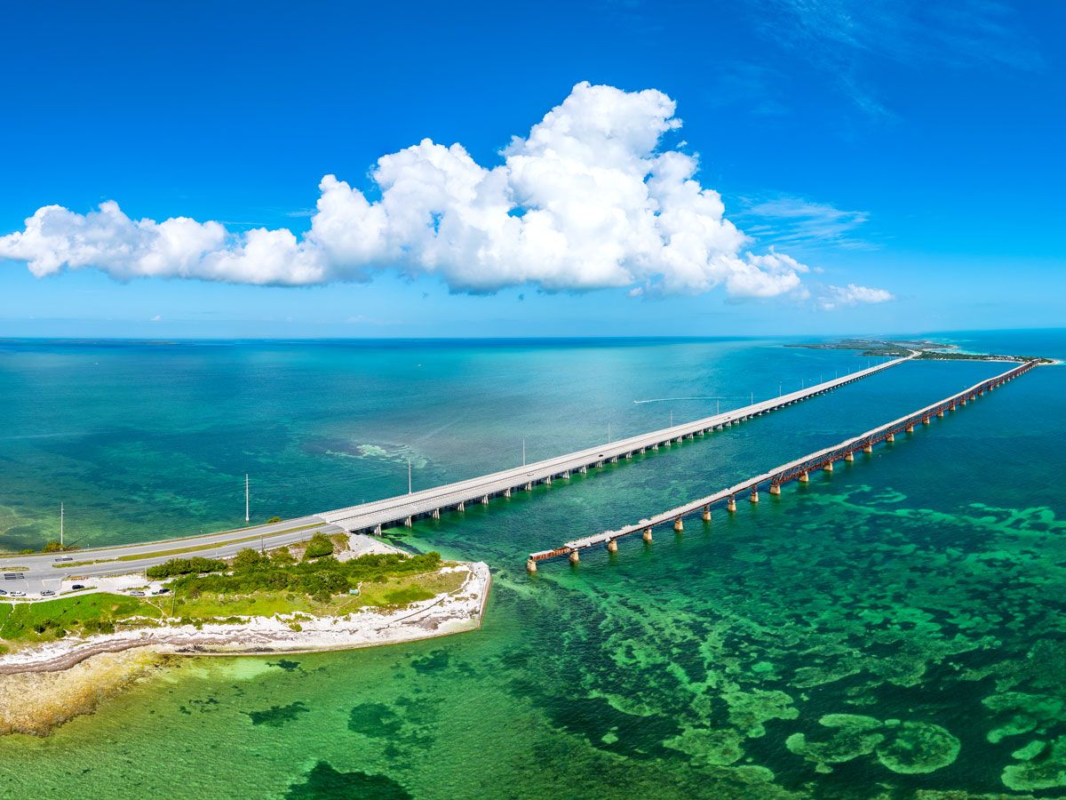
With a difference in elevation of only 345 feet from the state’s highest point at Britton Hill to its lowest at the Atlantic coast, Florida is the flattest state in the U.S. The state’s mean elevation is also one of the nation’s lowest, at 100 feet. Florida’s lack of topographical variety is due to its location on a geographical plateau called the Florida Platform. Since the Florida Platform is created from sediment rock, as opposed to tectonic activity, you won’t find any of the mountains and hills found elsewhere in the country in the Sunshine State.
More from our network
Daily Passport is part of Inbox Studio, an email-first media company. *Indicates a third-party property.