


5 State Borders That Are Less Settled Than You Think
Despite what seems like a well-established map, there have been some notable state border disputes throughout America’s history. For example, the Toledo War in the 1830s saw Michigan and Ohio nearly take up arms over a narrow strip of land, while Rhode Island and Massachusetts went back and forth over a border line for about 200 years. These have long since been resolved, but you may be surprised to learn that some state boundaries have been contested more recently. While they don’t tend to make headline news, these disputes nonetheless show that the simple lines you may have thought were set in stone can be more complicated than they suggest. Here are five fascinating recent (or ongoing) U.S. state border disputes.
Ellis Island – New Jersey vs. New York
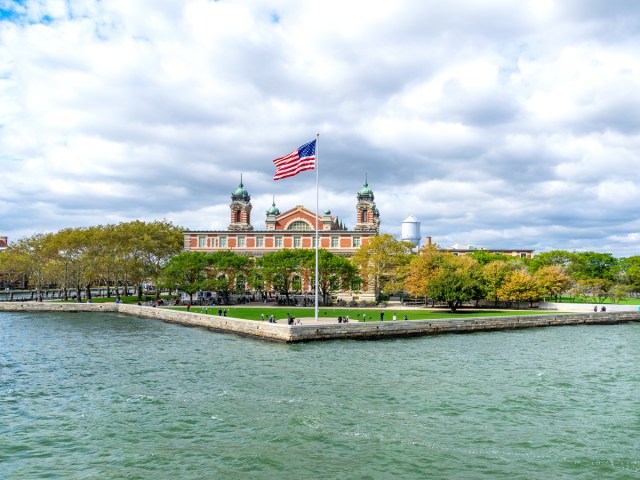
In the late 20th century, New York and New Jersey clashed over claims to parts of Ellis Island, the historic immigration port that sits near the Statue of Liberty. The confusion stemmed from an 1834 agreement between the two states, made when the island was home to a small army fort. The agreement set the boundary between New York and New Jersey in the middle of the Hudson River. But at the same time, it gave all islands in the river, including Ellis Island, which technically sat on the New Jersey side, to New York. Landfill expansions throughout the late 19th and early 20th centuries added about 24 additional acres to Ellis, and the ownership of that new land was unclear.
In 1998, the U.S. Supreme Court finally ruled that New York had the right to the original island footprint, but that the expanded land belonged to New Jersey. Today, the state line literally cuts through the main building of the island’s former immigration complex, which now houses the National Immigration Museum.
Portsmouth Naval Shipyard – New Hampshire vs. Maine
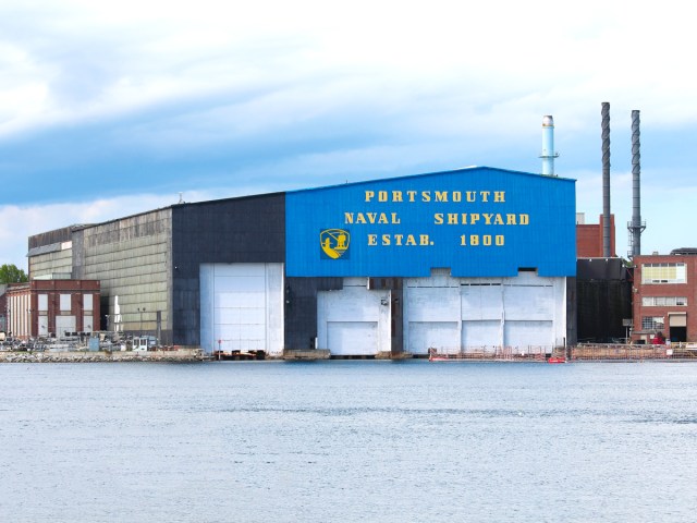
For decades, New Hampshire and Maine disagreed over where exactly their shared border ran through the Piscataqua River. At the center of the debate was Seavey’s Island, home to the Portsmouth Naval Shipyard. Founded in 1800, Portsmouth is the U.S. Navy’s oldest continually operating shipyard. Once known for its submarine construction, today it repairs and refurbishes nuclear submarines. New Hampshire argued that the inland river boundary hugged the Maine shoreline, placing the shipyard firmly in New Hampshire. Maine countered that the border ran down the river’s main navigable channel.
In 2001, the Supreme Court sided with Maine, and today, despite being named for a city in New Hampshire, the Portsmouth Shipyard is legally part of the Pine Tree State, with its thousands of workers paying Maine income tax. As recently as 2025, New Hampshire lawmakers were again attempting to have the lines redrawn in an effort to include Seavey’s Island — and all it injects into the local economy — in the Granite State.
The Quiet Border – Michigan vs. Indiana
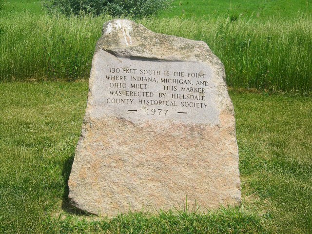
Michigan has been no stranger to border battles over the years, but its roughly 110-mile shared border with Indiana has never sparked much controversy — even if it does still have some gray area. Take the rural community of Ray, for instance, where farmland straddles a line that hasn’t been federally resurveyed since 1827, before Michigan was even a state. The original wooden markers have since rotted away, and for years, the ambiguity has resulted in some odd scenarios. One longtime Michigan resident, for example, held a Michigan driver’s license with an Indiana address.
For years, this so-called “quiet border” was tolerated, but recently, Michigan and Indiana reestablished state boundary commissions and committed funding to finally resurvey the line using modern tools. The changes are expected to be minor and don’t aim to redraw the map; rather, they hope to eliminate the ambiguity that has lingered for generations.
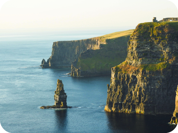
Tennessee River – Georgia vs. Tennessee
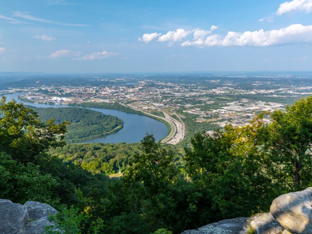
Thanks to an 1818 surveying error, Georgia’s northern border has been a point of contention for about 200 years. Back then, the state line was formed a mile south of the intended 35th parallel. The error left Georgia without access to the Tennessee River, an essential water source and a focus of legal action from the Peach State, even in recent times.
Over the years, Georgia lawmakers have repeatedly sought to negotiate the border with Tennessee, even proposing a 130-mile pipeline from the river into Atlanta. Tennessee has largely refused to entertain the border change, but the state has occasionally engaged in headline-making stunts. In 2008, during a drought in Georgia, Chattanooga Mayor Ron Littlefield had a truckload of bottled water delivered to the state Capitol in Atlanta. With Atlanta alone projected to need some 300 million gallons of water per day by 2035, the issue is far from settled.
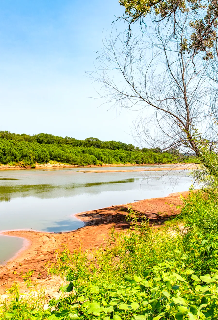
Red River – Texas vs. Oklahoma
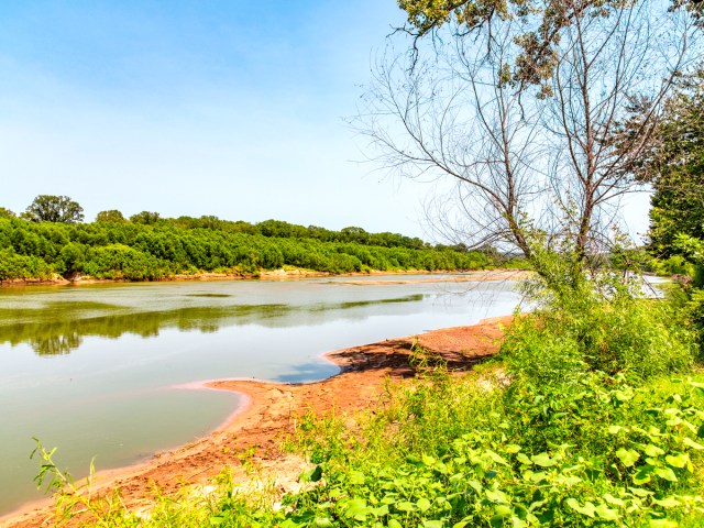
In 2024, Texas and Oklahoma slightly redrew their shared Red River border, though neither side really got any bigger or smaller — they just traded a water pump station. The pump, built in 1989 on the Texas side of Lake Texoma, provides drinking water to more than 2 million North Texans. A boundary adjustment in 2000 shifted part of the station into Oklahoma, but it wasn’t a problem — that is, not until the zebra mussels arrived.
Zebra mussels are a highly invasive species prohibited from being transported across state lines. Because the pump station straddled the border, running it technically meant transporting the mussels illegally. Pumping was paused, and eventually, the two states negotiated a fix. Along with the tiny underwater land swap, Texas paid Oklahoma $10 million for water projects and $300,000 in legal costs.
More from our network
Daily Passport is part of Inbox Studio, an email-first media company. *Indicates a third-party property.