


What Is an Exclave? Discover 6 Fascinating Border Anomalies
What Is an Exclave? Discover 6 Fascinating Border Anomalies

When looking at a map of the world, you may notice territories that are geographically separated from the nations that control them. These areas are known as exclaves — territories belonging to one sovereign state that are completely surrounded by the land of one or more foreign dominions. (Other areas are known as semi-exclaves, which feature coastlines that lie adjacent to international waters but are otherwise akin to a traditional exclave.) Some exclaves can also be classified as enclaves, which are sovereign nations or territories of other nations that are entirely enclosed within the borders of a single foreign entity — such as Vatican City or San Marino, both of which fall within Italy. Here, we’ll explore six of the world’s most interesting exclaves.
Nakhchivan Autonomous Republic, Azerbaijan

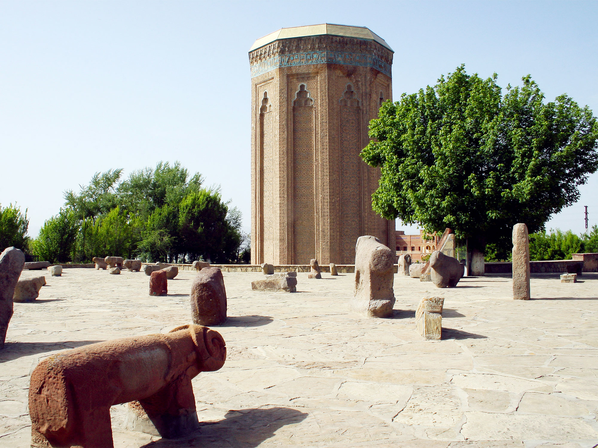
The Nakhchivan Autonomous Republic is an exclave belonging to Azerbaijan, a nation that sits along the Caspian Sea and Caucasus Mountains in Central Asia. Separated from the Azerbaijani mainland by a 30- to 50-mile-wide strip of Armenian territory, Nakhchivan borders Armenia to the north and east, Iran to the south and west, and a small sliver of Turkey to the exclave’s northwest portion. Nakhchivan comprises an area of over 2,000 square miles, about 6% of mainland Azerbaijan’s total area. Around 450,000 residents live here, making it the world’s largest entirely landlocked exclave by both area and population. In 1924, the region became an autonomous republic governed by the Soviet Union and was later transferred to an independent Azerbaijan in 1991. Nakhchivan also happens to boast some of the most stunning sites in Azerbaijan, including a mausoleum that has existed since the fourth millennium BCE and is the purported burial location of the prophet Noah.
Nahwa, UAE / Madha, Oman

The Emirati territory of Nahwa and the Omani territory of Madha may be but small blips on a map, but they form one of the more unique series of exclaves anywhere in the world. Located on the northern tip of the Arabian Peninsula off the Gulf of Oman, these two exclaves both exist entirely within the confines of the United Arab Emirates. Encompassing 29 square miles, Madha is a short distance from Oman’s mainland yet surrounded on all sides by the UAE. Located within Madha is the 1.70-square-mile territory of Nahwa, which itself belongs to the UAE. This unique geographical quirk — an exclave within an exclave — stems back to the formation of the UAE in 1971. As the country came into existence, the UAE decided against challenging the territorial boundaries of Oman, allowing them to maintain their ownership of the Madha region. Madha is home to around 2,000 residents, while Nahwa has just three villages and about 40 houses.
Cabinda Province, Angola

Cabinda is one of Angola’s 18 provinces — and the only Angolan exclave. The province sits on the Atlantic coast of the African continent about 20 miles north of mainland Angola, with a 56-mile-long coastline. Cabinda is surrounded by the Republic of the Congo to the north and the Democratic Republic of the Congo to the south. The exclave’s maximum width is just 70 miles, and it encompasses a total area of 2,807 square miles. Cabinda’s origins stem back to the late 1800s, when it was the site of Portuguese logging camps. Portugal also established a separate colony known as Portuguese West Africa, which later became modern-day Angola. When Portugal withdrew from its African colonies in the 1970s, Cabinda was granted to the newly formed Angola, despite its geographical separation. Angola has maintained its steadfast control over Cabinda in large part because of oil reserves that were discovered within the province in 1967.
French Guiana, France

The South American region of French Guiana may be located on an entirely different continent than France, but it remains a territorial exclave under French jurisdiction. Amazingly, the capital of French Guiana, Cayenne, is located 4,398 miles across the Atlantic Ocean from Paris. This French exclave is bordered by the Atlantic Ocean to the northeast, Brazil to the south and east, and Suriname to the west. An estimated 294,600 people inhabit the 34,750 square miles of French Guiana. European explorers first reached the territory in 1500, and Spanish explorers settled near Cayenne in 1503. The 1667 Treaty of Breda awarded the territory to France. Residents of the exclave were later made French citizens in 1877, and French Guiana became a département of France in 1946. Currently, French Guiana’s government is led by a local president who governs the territory alongside a prefect appointed by France.
Ellis Island, New Jersey/New York

Rather than an exclave surrounded by another country, Ellis Island is home to a unique exclave belonging to the state of New York — while the rest of the island falls under New Jersey’s control. The island, located in Upper New York Bay, once held an important role as an immigration processing center that welcomed over 12 million newcomers to the United States between 1892 and 1954. Ellis Island sits a mile off the coast of the island of Manhattan in New York City and 1,300 feet east of New Jersey’s mainland shore. It was originally around 3.3 acres in area but has since expanded to 27 acres due to a series of land reclamation projects.
It’s those projects that turned parts of Ellis Island into an exclave. Though an 1834 agreement between the two states granted total control of Ellis Island to New York, that changed in 1998, when the U.S. Supreme Court ruled that New Jersey had authority over the majority of Ellis Island’s territory that had been gained due to land reclamation. However, the court also determined that New York maintained control over the island’s Main Arrivals Building, as well as the original lands that existed prior to the island’s expansion. This created New York’s exclave, as those original lands have since become surrounded by reclaimed land owned by New Jersey.
Baarle-Hertog, Belgium / Baarle-Nassau, Netherlands

In the Baarle-Hertog region, the Belgian-Dutch border is a complicated one — to say the least. Baarle-Hertog is a series of exclaves that lie just outside of the Flanders region of northern Belgium. The Baarle-Hertog municipality is made up of 22 Belgian exclaves that are entirely surrounded by the Netherlands and three additional semi-enclave territories jutting up against Dutch lands from the Belgian border. All told, these scattered lands are home to around 2,663 Belgian residents and total a mere 2.9 square miles in area.
Making things even more complex, portions of the Dutch municipality of Baarle-Nassau form seven additional Dutch exclaves that are located within these Belgian exclaves. The border was established per the Treaty of Maastricht in 1843, signed 13 years after Belgium declared independence from the Netherlands, creating this geographical conundrum that continues today. Thankfully, the two countries have peaceful relations, and this strange alignment has even led to various properties and restaurants that are split in half between the Belgians and Dutch.
More from our network
Daily Passport is part of Inbox Studio, an email-first media company. *Indicates a third-party property.


