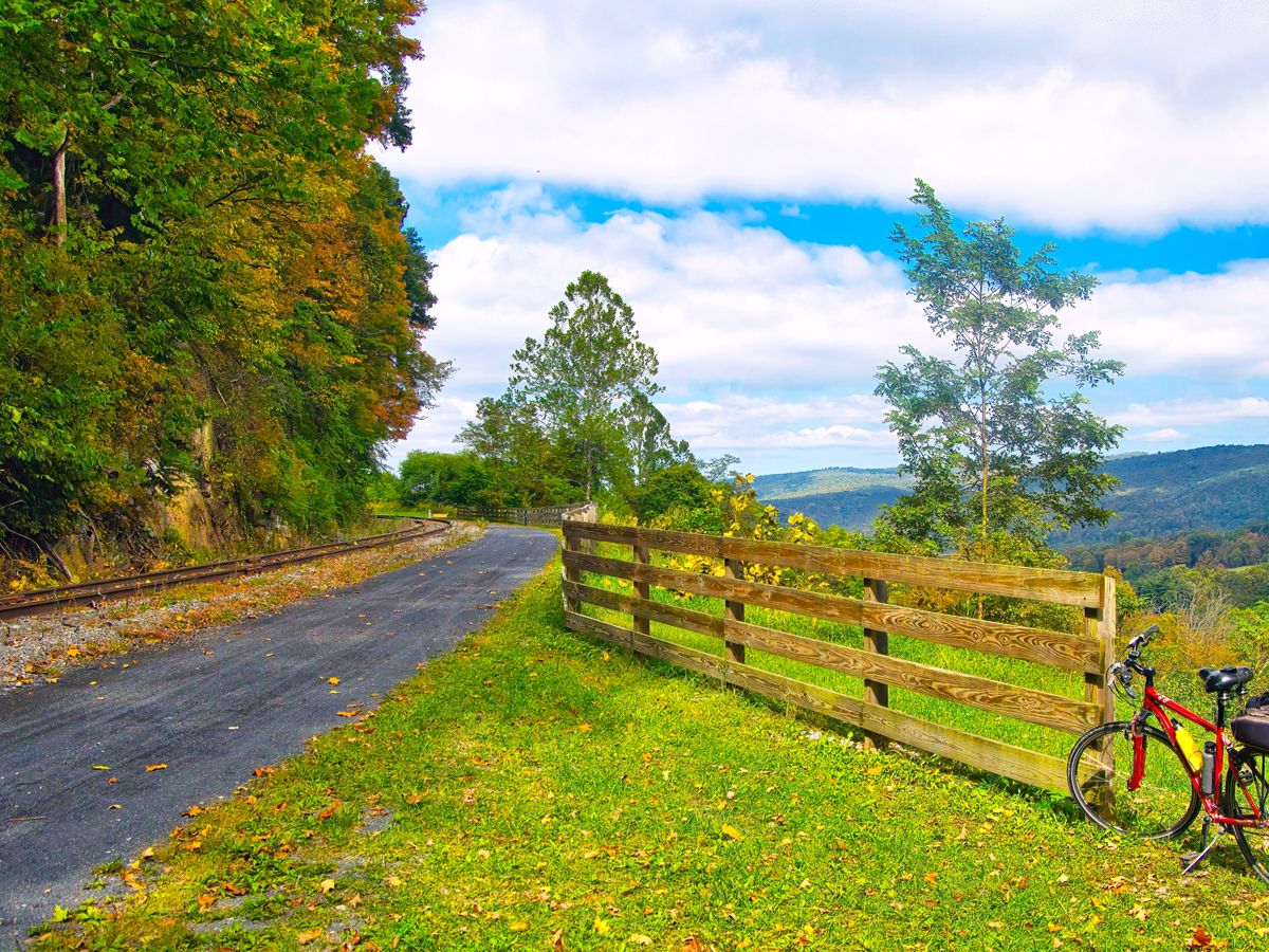
12 Longest Rail Trails in the U.S.
12 Longest Rail Trails in the U.S.


Rail trails are created by taking abandoned railroad corridors and transforming them into shared-use public pathways. These trails offer the chance to enjoy a variety of outdoor activities such as walking, biking, horseback riding, skating, and even cross-country skiing and snowmobiling during the winter months. In general, these paved or dirt routes are also flat or gently sloped, making them easily accessible for those with varying levels of mobility. If you’re curious about the 2,423 rail trails spanning 25,934 miles across the U.S., the Rails to Trails Conservancy is an excellent resource. Below, take a closer look at the 12 longest rail trails in the United States, according to the organization.
12. Florida Keys Overseas Heritage Trail – Florida
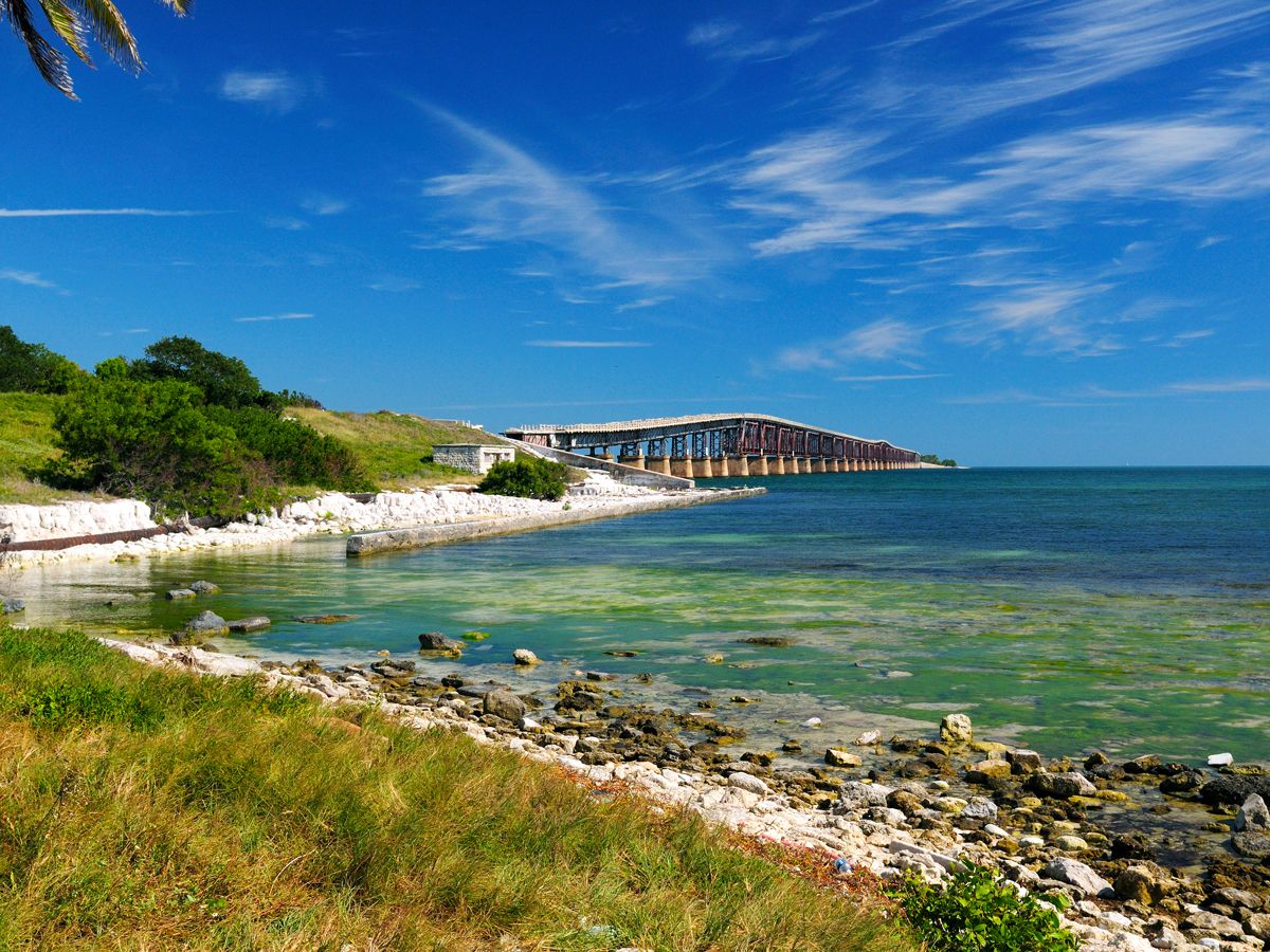
Route length: 106 miles
The Florida Keys Overseas Heritage Trail runs parallel along U.S. Highway 1 — nicknamed the Overseas Highway — from Key Largo to Key West, where you’ll find the southernmost point in the continental U.S. The trail incorporates elements from the old Florida East Coast Railway, which was opened in 1912 as a link from Jacksonville to Key West.
Today, this rail trail is mainly used by bikers and pedestrians, who can take advantage of the stunning views of the surrounding Atlantic waters. This trail is part of the planned East Coast Greenway, a 3,000-mile route that will eventually connect Florida with Maine.
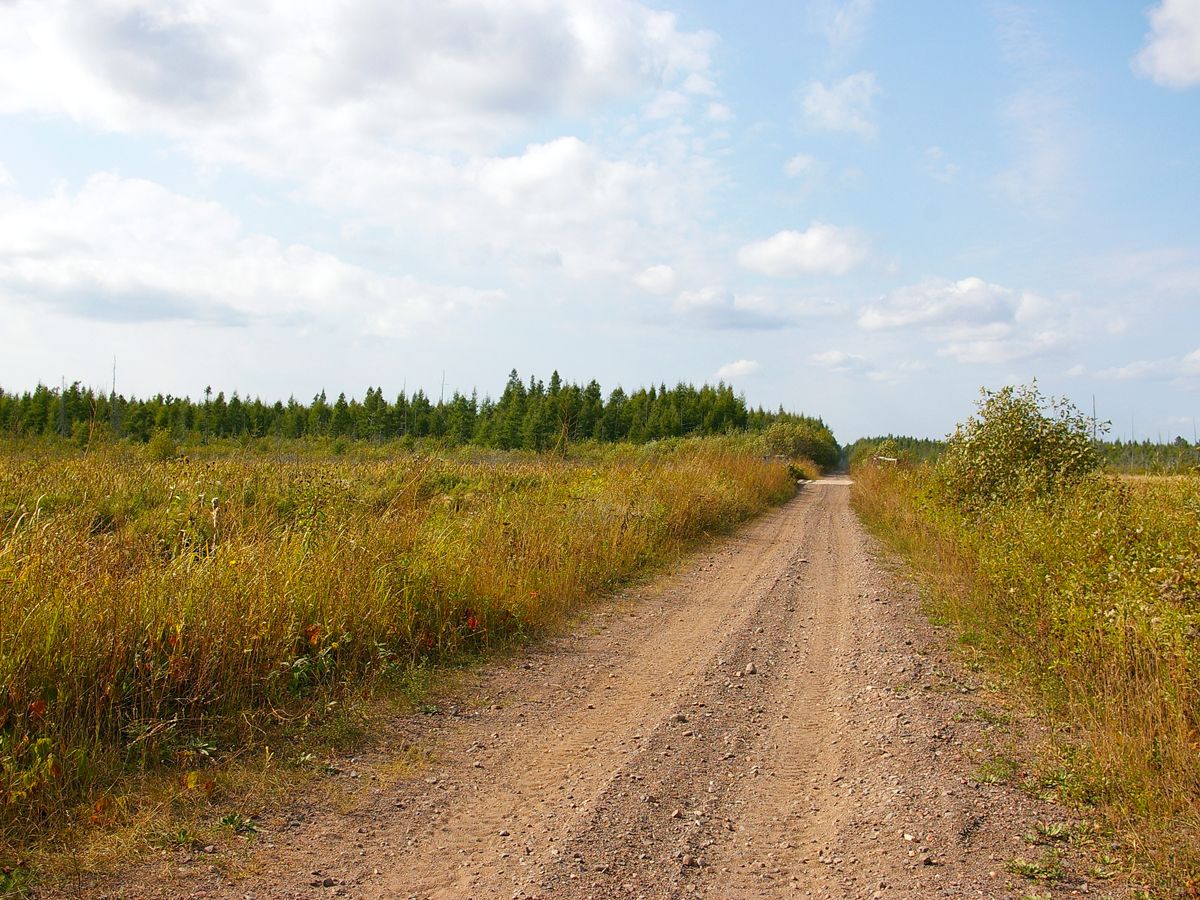
11. State Line Trail – Michigan
Route length: 107 miles
Michigan’s State Line Trail is located in the state’s Upper Peninsula, beginning just outside the city of Wakefield and continuing over 100 miles southeast to Stager. The trail utilizes portions of the old Chicago and North Western Railway that ceased operations in 1995.
Highlights of the trail include more than 50 bridges that span scenic waterways, where you’re likely to see several eagles and ospreys flying overhead. The State Line Trail is mainly used by mountain bikers in summer, and it’s a popular route for snowmobiling in winter.
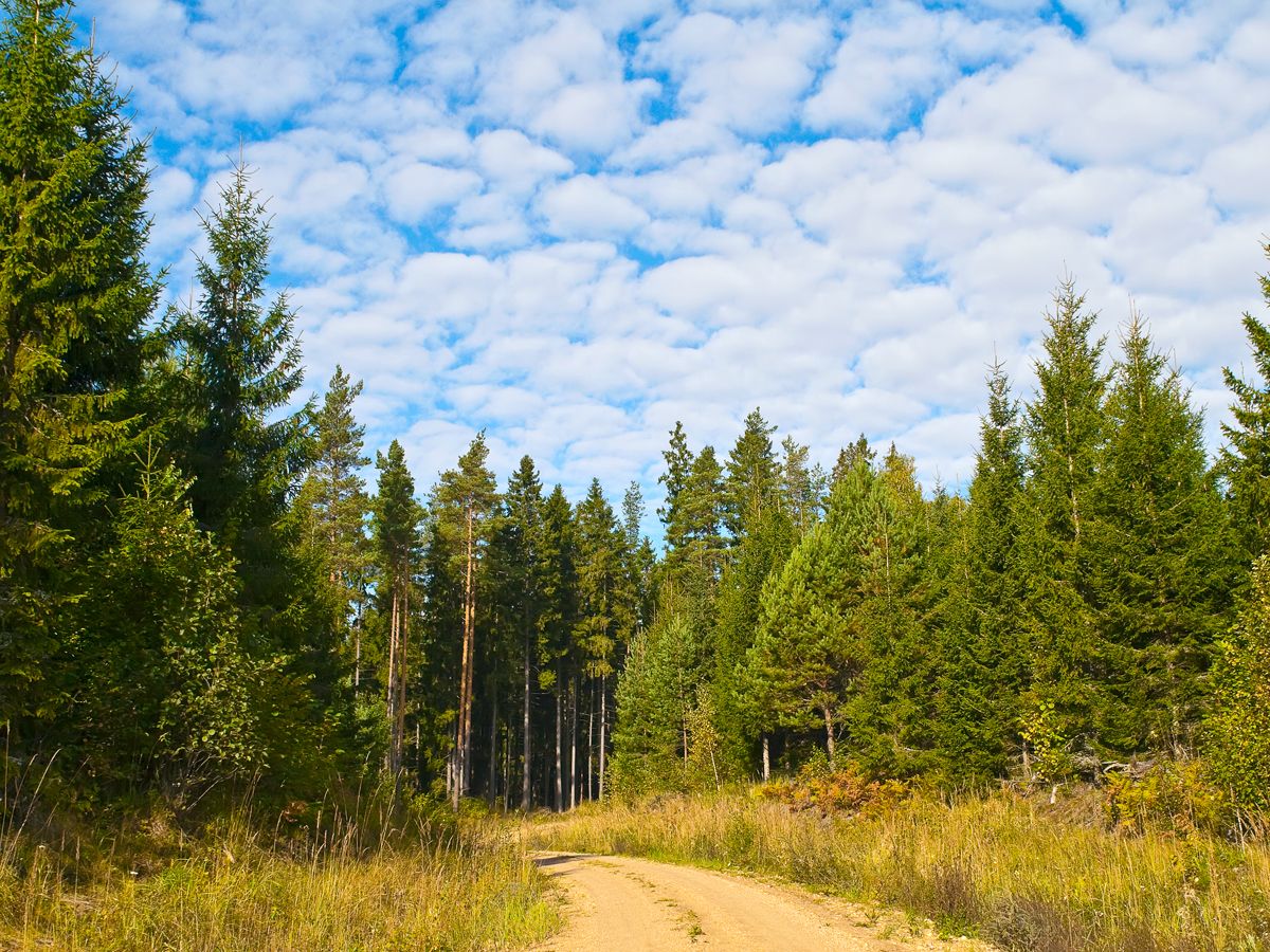
10. OC&E Woods Line State Trail – Oregon
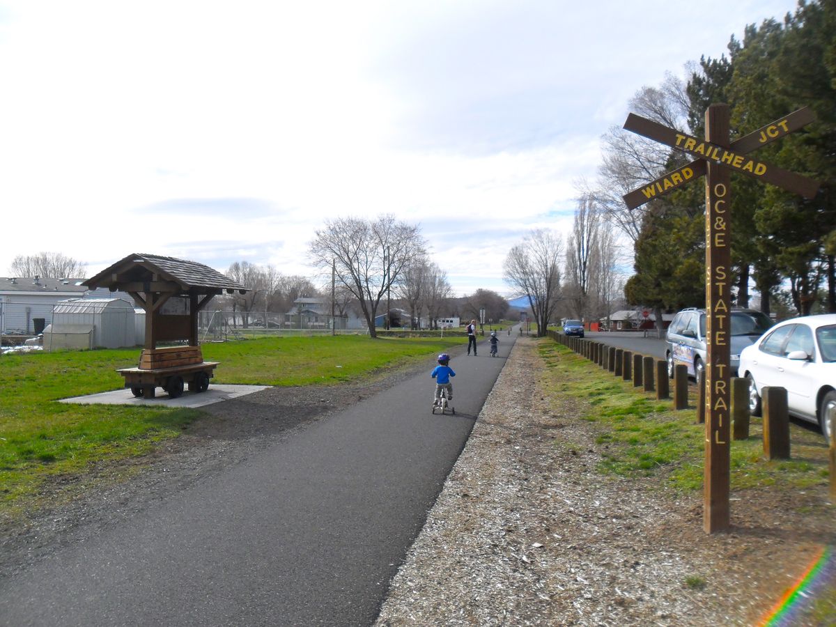
Route length: 109 miles
This mixed-use trail combines two decommissioned railroads: The Oregon, California & Eastern Railway (from which it gets its name) and the Weyerhaeuser Woods Line. Today, the OC&E Woods Line State Trail connects the city of Klamath Falls (located along Oregon’s southern border) with the community of Summer Lake to the north.
Consider starting your trip in Klamath Falls, where the trail is paved and provides views of the countryside and nearby Mount Shasta. After around 8 miles, the trail becomes unpaved, making it more suited to bicycles with thick tires or cross-country skiers. In addition to awe-inspiring natural views, the trail provides opportunities for trout fishing, especially at Five Mile Creek, which is located at mile 10.
9. George S. Mickelson Trail – South Dakota
Route length: 112 miles
The George S. Mickelson Trail is named in honor of former South Dakota Governor George S. Mickelson, who helped get the project off the ground. The trail cuts through the Black Hills National Forest, connecting Deadwood and Edgemont, and utilizes portions of a railway built in the 1890s.
After 15 years of development, the George S. Mickelson Trail finally opened in 1998. The trail passes through lush forests and under the shadows of mountains, with views of wildlife such as elk, buffalo, and bighorn sheep. Despite its “hilly” name, the trail rarely exceeds a 4% grade, so it remains easily accessible. Popular landmarks near the trail include both Mount Rushmore and the Crazy Horse Memorial.
8. Soo Line Trail (Southern Route) – Minnesota
Route length: 115 miles
The Soo Line Trail — particularly its Southern Route — is one of two Minnesotan rail trails that extend past the 100-mile mark. This trail starts just across the border in Oliver, Wisconsin, and then cuts southeast into Minnesota toward the city of Royalton.
The Southern Route is largely made up of rough dirt and gravel that make it less ideal for biking and walking, though it’s popular among ATV riders. Parts of the trail also receive up to 52 inches of snow on average each year, creating ideal conditions for snowmobiling. The trail uses sections of the old Soo Line Railroad, which ran through the area from 1961 until 1990.
7. Flint Hills Trail State Park – Kansas
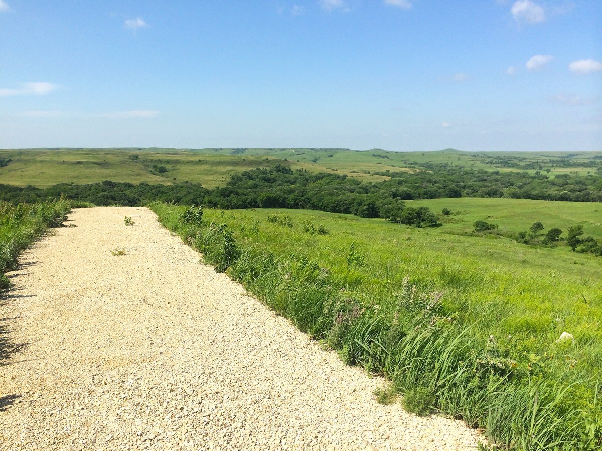
Route length: 118 miles
2018 was a milestone year for the Flint Hills Trail, as it became an official state park. The easternmost portion, covered with crushed limestone, takes trailgoers roughly 96 miles from Osawatomie farther west to Council Grove. However, the remaining 21 miles from Council Grove over to Herington aren’t yet developed, as remnants from the old Missouri Pacific Railroad still need to be converted for public use.
Along the trail, you’ll find a mix of tall-grass prairie in the west and wooded areas farther east. Towns along the way are spaced out between 10 and 15 miles, so be sure to plan your journey accordingly.
6. Paul Bunyan State Trail – Minnesota
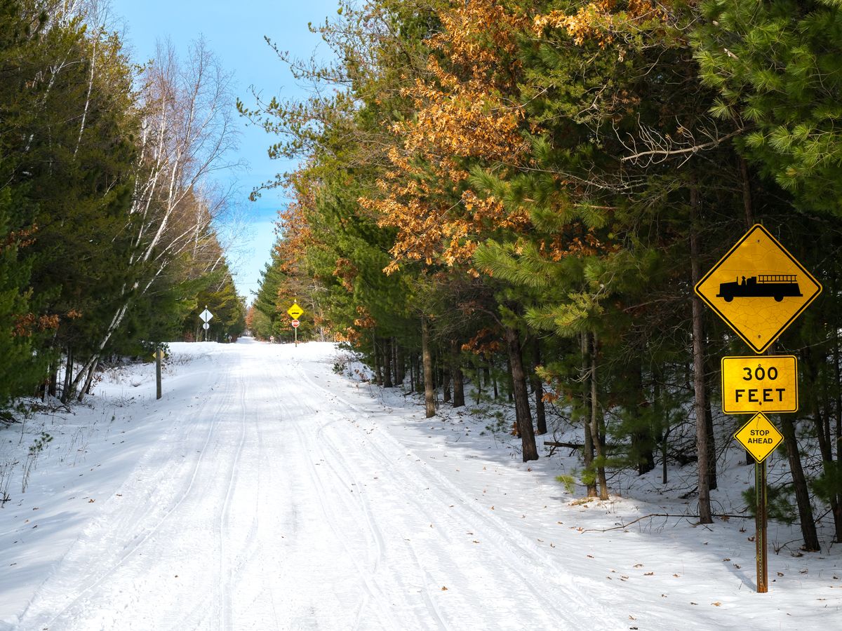
Route length: 122 miles
The Paul Bunyan State Trail is named after Minnesota’s mythical hero Paul Bunyan, a giant lumberjack. Unlike the state’s Soo Line Trail, this trail is fully paved, and it provides fantastic conditions for walking, biking, or other low-impact activities. The rail trail uses parts of an 1893 old railroad corridor that was last owned by Burlington Northern, and its latest segment was added in 2014.
It’s no coincidence that the trail emanates from the city of Bemidji, which claims to be the home of Paul Bunyan. Along the 122-mile route, you’ll find both thick forests and vast meadows containing colorful wildflowers, before the trail ends in Brainerd.
5. Columbia Plateau Trail State Park – Washington
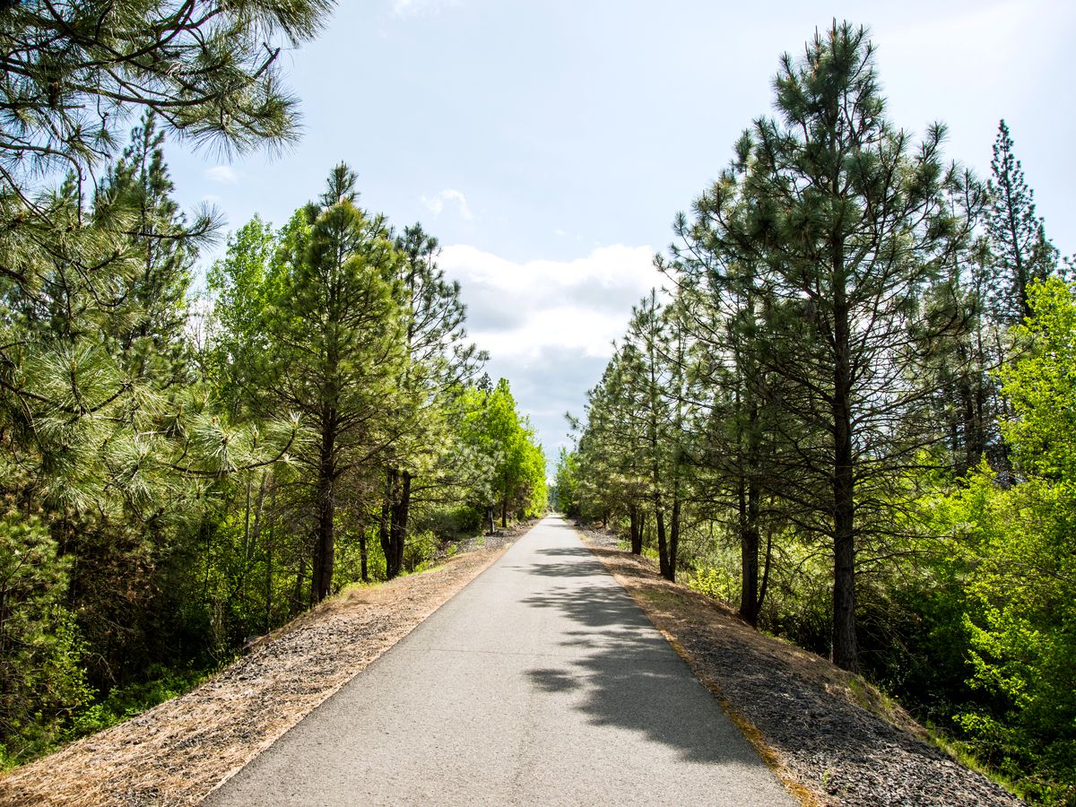
Route length: 130 miles
The Columbia Plateau Trail is unique in that it contains a 92-mile-long undeveloped portion surrounded by two smaller developed sections on either end. The first developed section begins at Fish Lake in Cheney, located near Spokane, and continues to Sprague. The other developed section is located southwest near the Ice Harbor Dam and will take you to Snake River Junction.
The majority of the trail follows the old Spokane, Portland, and Seattle Railroad, which operated until 1970. During your journey, you’ll see plenty of mile markers along the way that train conductors once used to determine the distance to Portland, Oregon.
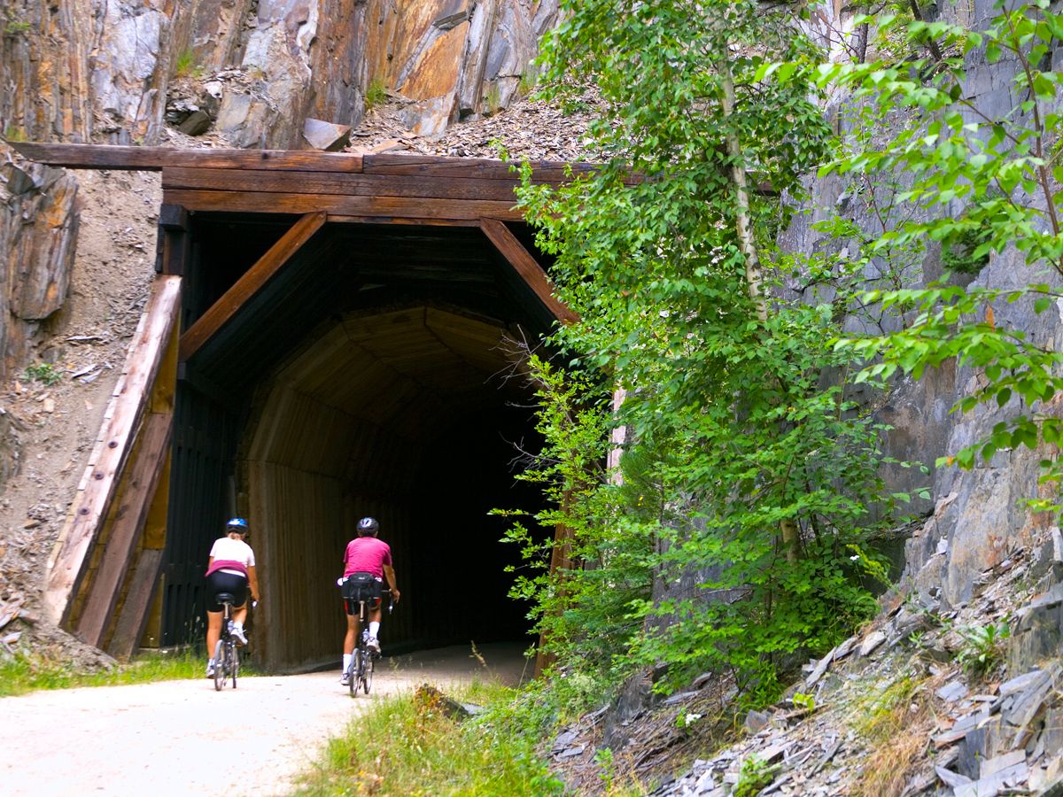
4. Great Allegheny Passage – Maryland and Pennsylvania
Route length: 153 miles
Completed in 2013, the Great Allegheny Passage is popular with long-haul cyclists and backpackers. The trail originates at Point State Park in Pittsburgh, near the many sporting arenas, museums, and restaurants found downtown. The trail then takes you southeast through western Pennsylvania, before reaching the city of Cumberland, Maryland.
During the journey, you’ll pass by the Eastern Continental Divide, which marks the trail’s highest point. You’ll also see many historical sites, including some dating back to the French and Indian Wars of the 18th century. Once you reach Cumberland, be sure to visit a restored 1891 train station that recalls a time when the trail once served as an active railway.
3. Cowboy Recreation and Nature Trail – Nebraska
Route length: 203 miles
Nicknamed the Cowboy Trail, this rail trail begins in Valentine, in north-central Nebraska, before cutting southeast toward Norfolk. There’s also a separate, 15-mile-long portion that can be found farther west, connecting the communities of Gordon and Rushville.
The main trail is primarily surfaced with crushed gravel, making the Cowboy Trail ideal for hybrid or mountain bikes. The majority of the trail is characterized by rolling hills and tallgrass prairies. There are future plans to extend the trail by 126 miles over to Chadron, which would make it the first rail trail in the country to eclipse 300 miles.
2. Palouse to Cascades States Park Trail – Washington
Route length: 236 miles
The Palouse to Cascades States Park Trail is divided into several smaller portions that total 236 miles in length. The trail’s westernmost segment runs 111 miles between Cedar Falls, Washington, east to the Columbia River. This rough segment is best suited for mountain and fat tire bikes, and features views of the Cascade Mountains. You can also visit a former railroad yard in South Cle Elum that has been designated as a National Historic Landmark.
East of the Columbia River, the trail continues over the Idaho border. This section was originally used by the Chicago, Milwaukee, St. Paul and Pacific Railroad, which connected Chicago to Seattle beginning in 1909. After the railway ceased operations in 1980, it was converted into this shared public trail. In recent years, portions of the trail have been closed due to local fires, so be sure to check here for updates before visiting.
1. Katy Trail State Park – Missouri
Route length: 239 miles
The longest rail trail in the United States, Missouri’s Katy Trail State Park begins in St. Charles, a community located along the western outskirts of St. Louis. The trail extends west to Clinton, spanning through rural farmland and small towns across almost the entire width of the state.
While the Katy Trail uses portions of an old railway from St. Louis, it’s located alongside a still-active railway used by Amtrak. In fact, you can leave the trail and hop aboard an Amtrak train if you make prior reservations and pay $10 to bring your bike on board. Along the trail, be sure to stop at the Lewis and Clark Historical Site outside of Rocheport. The famed explorers passed through the town in 1804, chronicling their experience in Clark’s journal.
More from our network
Daily Passport is part of Inbox Studio, an email-first media company. *Indicates a third-party property.