Geographers define an island as a mass of land that is both entirely surrounded by water and smaller than a continent. As Australia is the world’s smallest continent, measuring about 3 million square miles, it can’t be classified as an island. There are an estimated 900,000 official islands on the planet. While some countries share an island, such as Hispaniola (split between the Dominican Republic and Haiti), others have one or more all to themselves. Let’s take a look at the world’s nine largest islands.
9. Great Britain
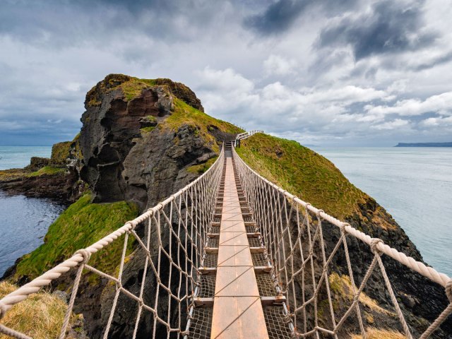
Great Britain, the United Kingdom’s largest island, measures 80,823 square miles, making it the ninth-largest island on the planet. The U.K. is formed of four nations: England, Scotland, Wales, and Northern Ireland. Though the name Great Britain is often used interchangeably with the U.K., it actually contains only three of its nations — Northern Ireland is part of the island of Ireland, which is considerably smaller at 32,595 square miles. The British Isles have an even broader scope, incorporating 6,000 smaller islands. These include the Isle of Man and the Channel Islands. Both are Crown Dependencies, meaning that they are self-governing, with their own legislative assemblies and separate administrative, fiscal, and legal systems.
8. Victoria Island
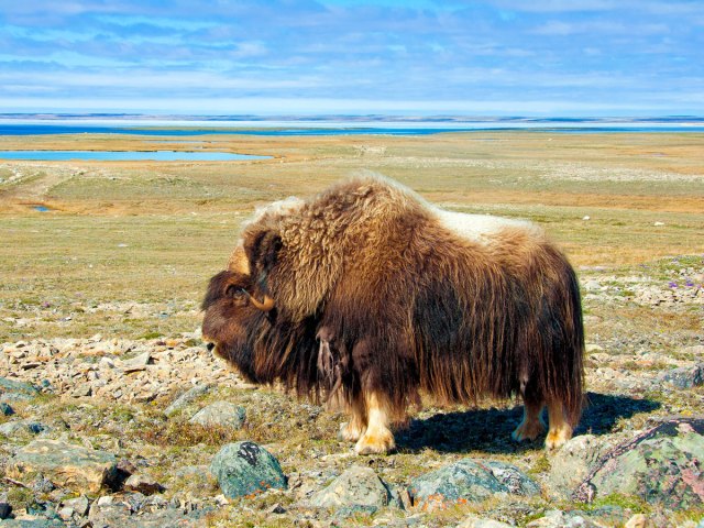
Located in Canada’s Arctic Archipelago, Victoria Island boasts an area of 83,896 square miles. The island — named for Queen Victoria of Britain — is split between Nunavut and the Northwest Territories. Very few people live here thanks to its remote northerly location and harsh climate. The two largest settlements include Iqaluktutiaq (Cambridge Bay) in Nunavut and Ulukhaktok in the Northwest Territories. Together, their permanent population numbers around 2,100 people. Victoria Island covers slightly more area than Canada’s third-largest island, Ellesmere, also in the Arctic Archipelago and the tenth-biggest on the planet at 75,767 square miles.
7. Honshu
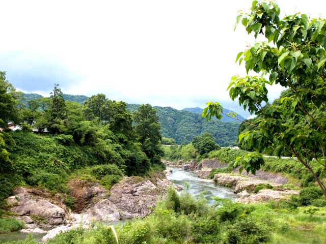
The island of Honshu is the largest of Japan’s 14,125 islands. Indeed, with an area of 87,992 square miles, Honshu is huge compared to most of the other Japanese islands. The centrally located and densely populated island is home to Tokyo, Japan’s capital and the largest city on the planet, with over 40 million people living in its metropolitan area. A mountainous spine runs along Honshu; it is home to Mount Fuji and also the Japanese Alps. Honshu is also home to the former Japanese capitals of Kyoto and Nara, as well as important commercial and industrial hubs such as Osaka and Nagoya.
6. Sumatra
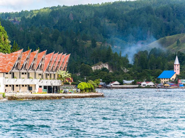
Covering 171,069 square miles, Sumatra is the second-largest of the Greater Sunda Islands, a group of four islands in the Malay Archipelago (the largest group of islands in the world). The island’s landscape features a mix of active volcanoes, lush rainforest, beaches, and Southeast Asia’s largest lake, Danau Toba. A slew of national parks, some of them UNESCO-listed, are home to significant populations of wildlife such as elephants, tigers, and orangutans. The island is also ethnically and culturally diverse. In the north, Aceh is largely settled by Muslim communities. Christian Batak speakers can be found in the highlands, while the Minangkabau form the majority in West Sumatra..
5. Baffin Island
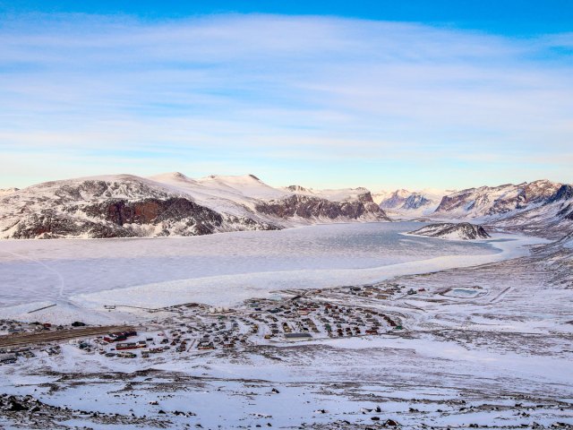
At 195,928 square miles in size, Canada’s Baffin Island can be found in the northern reaches of the territory of Nunavut. Like Victoria Island, it’s sparsely inhabited, with just 11,000 people calling the island home, although human presence on the island dates back more than three millennia. Until a recent drop in the 1990s, the island’s population of caribou had vastly outnumbered the island’s people. The majority of the population is Inuit and lives in the island’s capital city of Iqaluit, which was founded in 1942. During World War II it served as a refueling point for American aircraft heading to Europe.
4. Madgascar

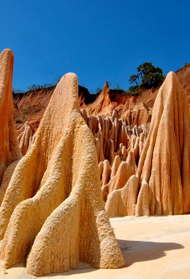
The next largest island on our list is biodiverse Madagascar, the fourth-largest on the planet. Most famous for its ring-tailed lemurs and its baobab trees, Madagascar has a broad spectrum of habitats encompassing spiny thicket, mangroves, and forested mountain slopes. Its climate is ideal for growing vanilla. The 224,533-square-mile island — a little smaller than Texas — lies off the coast of southeastern Africa in the Indian Ocean. It detached from mainland Africa around 165 million years ago. This left a legacy of unique flora and fauna: An estimated 95% of Madagascar’s reptiles, 92% of its mammals and 89% of its plants can only be found here. Some of these are critically endangered, such as the silky sifaka (a type of lemur) and the ploughshare tortoise.
3. Borneo
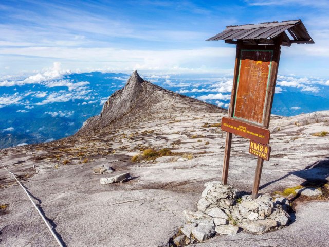
The world’s third-largest island, Borneo is located in Southeast Asia’s Malay Archipelago and covers an area of 292,000 square miles. Like Sumatra, the island is part of the Greater Sundas Island Group. The Indonesian region of Kalimantan covers approximately 73% of Borneo’s area; the rest is split between East Malaysia and the tiny nation of Brunei. Borneo is known for its biodiversity, beautiful beaches, and vast swathes of jungle. Wildlife species such as the proboscis monkey and the Borneo pygmy elephant can only be seen on this island. The Malaysian city of Kota Kinabalu serves as the island’s gateway for visitors.
2. New Guinea
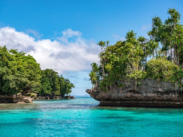
Split between the nations of Indonesia and Papua New Guinea, this 303,381-square-mile island just north of Australia has been home to humans for more than 40,000 years and was colonized at various times by the British, Dutch, and Germans. Today, the western side of New Guinea belongs to Indonesia, and the eastern half comprises the independent country Papua New Guinea. Most of the island is mountainous and covered in rainforests. The island is rich in both plant life and wildlife, particularly reptiles, marsupials, and birds, both flightless and tropical. Among the highlights is the world’s largest butterfly, the Queen Alexandra birdwing (also known as the birdwing butterfly) — its wingspan can reach nearly a foot wide.
1. Greenland
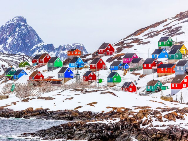
With an area of 836,330 square miles, Greenland is by far the world’s largest island. Greenland is an autonomous territory of the Kingdom of Denmark but was granted home rule in 1979 and has had its own parliament since then. With a permanent ice sheet that covers 75% of the country, and a population of just under 60,000 people, Greenland is the least densely populated territory in the world. The primary industry is fishing, which accounts for 90% of the island’s exports.
More from our network
Daily Passport is part of Optimism, which publishes content that uplifts, informs, and inspires.
