The majority of international borders are, at most, a few hundred miles long, and the shortest measures just 260 feet. But on the opposite end of the spectrum, some borders extend for several thousand miles. From North America to the far reaches of the Eastern Hemisphere, these seemingly endless international boundaries form a vast divide between nations. Below, learn more about the world’s 10 longest international borders and how far they stretch.
10. Mexico and the United States – 1,960 Miles
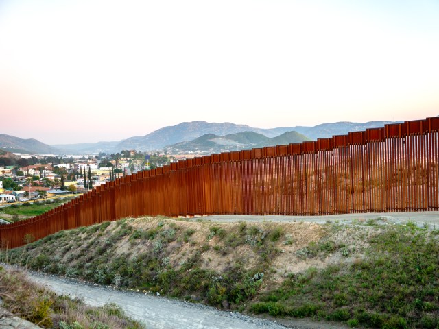
The border shared between Mexico and the United States traverses from the Pacific coastline in the west over to the Gulf of Mexico in the east. The states of California, Arizona, New Mexico, and Texas fall along the northern side of the border, while the Mexican states of Baja California, Sonora, Chihuahua, Coahuila, Nuevo León, and Tamaulipas are located to the south. A majority of the Mexico-U.S. border is composed of the Rio Grande, a river which begins in the Gulf of Mexico and then stretches for about 1,250 miles between the two countries.
9. India and Pakistan – 1,982 Miles
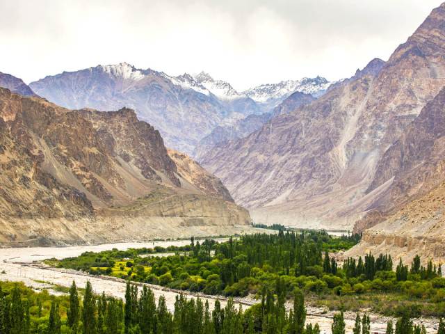
The border between India and Pakistan contains the disputed region of Kashmir, portions of which are controlled by both India and Pakistan. Due to the volatile political climate of this area, disputes over the exact border between these two countries have continued for decades. However, current estimates put the length at 1,982 miles. The border begins in the south, near the Arabian Sea, and extends northeast toward China. One of the most fascinating quirks of this border is that it’s visible from space, thanks to the 150,000 flood lights the Indian government has installed along the partition.
8. Bolivia and Brazil – 2,115 Miles
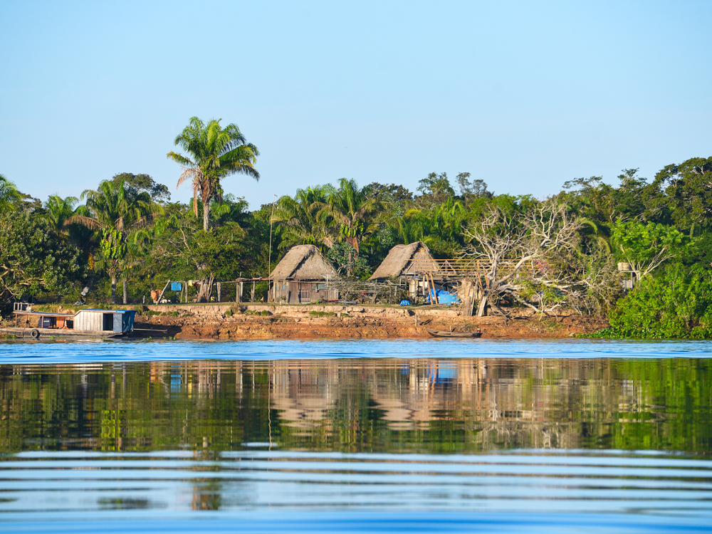
Brazil borders 10 South American countries, which includes every country on the continent except Chile and Ecuador. Of all its shared borders, the 2,115-mile-long divide between Brazil and Bolivia stretches the longest. The boundary extends through a mix of urban environments and dense jungle terrain. It was first established in an 1867 treaty; however, conflict later arose over disputed territory, resulting in a new 1903 agreement which established the borders that we see today.
7. Mongolia and Russia – 2,145 Miles
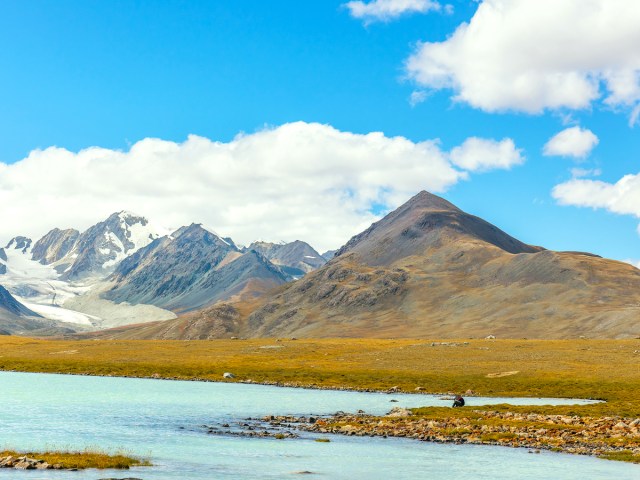
Mongolia borders only two foreign countries, but both of its international land borders are substantial. The smaller of Mongolia’s two borders is the boundary with Russia, which measures 2,145 miles long. The border begins and ends at geographic tripoints that are shared between Mongolia, Russia, and China. Few major cities exist in this mountainous terrain, but notable natural sites include a 11,450-foot mountain named Munku Sardyk and the salty waters of Uvs Lake, which is the largest lake by surface area in Mongolia.
6. Bangladesh and India – 2,574 Miles
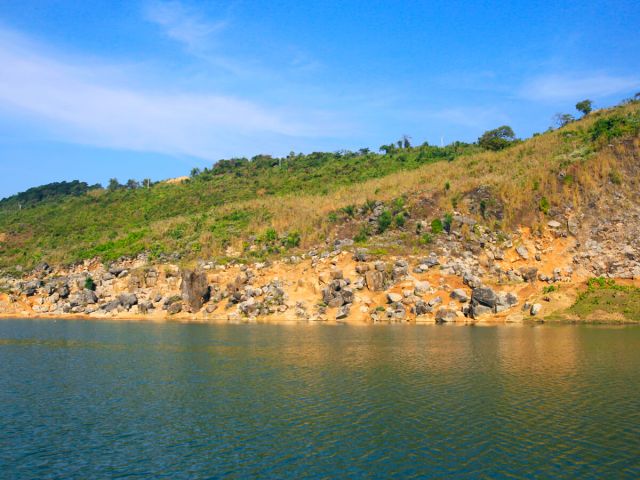
Bangladesh and India share a 2,574-mile-long border, though it is quite unusual compared with others on this list. That’s because Bangladesh is surrounded by India to the west, north, and east — its only other international land border is a 168-mile-long segment shared with Myanmar in the southeast. This unique border originated during the 1947 partition of India, when Bangladesh was known as East Bengal and fell under Pakistani rule. When Bangladesh achieved independence in 1971, the borders between the newly independent country and India remained the same.
5. China and Russia – 2,597 Miles

China and Russia’s shared border extends for 2,597 miles, though it’s split up into two portions that are broken up by Mongolia in the middle. There’s a 29-mile-long border in the west, but it pales in comparison to the shared 2,568-mile-long border in the east. In addition to bordering one another, China and Russia border 13 other countries, which is tied for the highest number of shared international borders. Territorial disputes remained ongoing between the two countries as late as 2008, when an updated pact was signed to officially demarcate the two nations.
4. China and Mongolia – 2,877 Miles
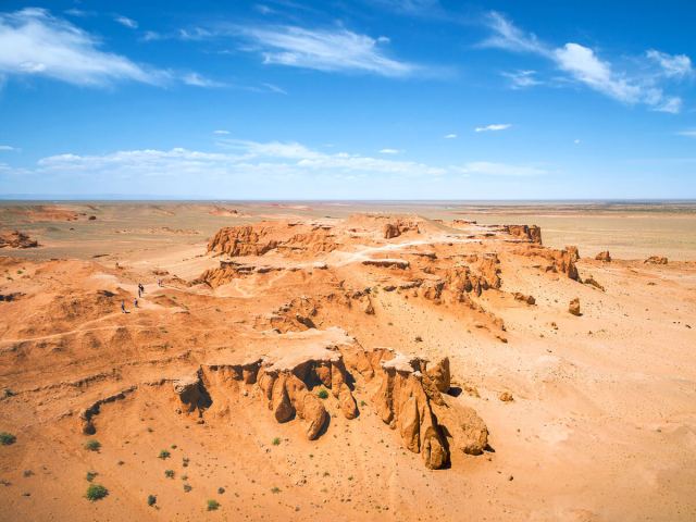
This border begins and ends at the same tripoints shared between the three countries of China, Mongolia, and Russia. Most of this border falls within the uninhabitable landscapes of the Gobi Desert, which is located throughout southern Mongolia and northern China. Border disputes occurred between the two countries as recently as the 1950s, before a formal border was finally established in the mid-1960s.
3. Argentina and Chile – 4,158 Miles

Argentina and Chile share the world’s third-longest international border. The two countries lie adjacent to each other — Chile on the west, Argentina on the east — as they extend down to the tip of the South American continent. The Andes mountains make up a large chunk of the border, as do the Tierra del Fuego islands in the south, up to where the border culminates in the Patagonian ice fields. The Argentina-Chile border begins in the north at a tripoint shared with neighboring Bolivia. The southern portion of the border was disputed until 1984, when the countries agreed upon the Treaty of Peace and Friendship, which was brokered in part by Pope John Paul II.
2. Kazakhstan and Russia – 4,750 Miles
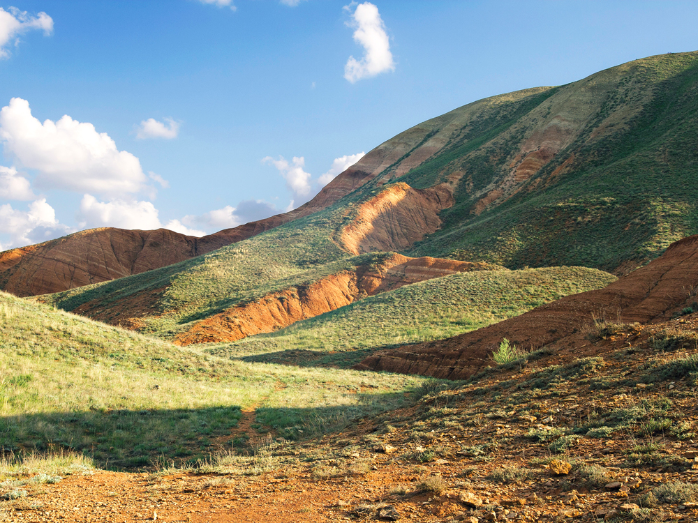
The border between Kazakhstan and Russia is the second-longest in terms of total length, but it’s also the longest continuous international land border anywhere in the world. This boundary begins in the west along the Caspian Sea and runs for 4,750 miles east, before it culminates in a tripoint shared with China. The majority of the border extends through the Eurasian Steppe region and the Altai mountain range. There has been little dispute over this border, and it’s remained relatively stagnant since the time of the Soviet Union.
1. Canada and United States – 5,525 Miles
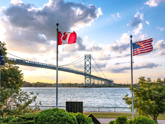
Canada and the U.S. share the longest international land border in the world — 5,525 miles in total. The border is broken up into two sections: A shorter, 1,538-mile-long border separates Alaska from the Canadian provinces of Yukon and British Columbia, while a longer, 3,987-mile-long section forms the boundary between Canada and the lower 48. On the U.S. side, the states of Washington, Idaho, Montana, North Dakota, Minnesota, Michigan, New York, Vermont, New Hampshire, and Maine all border Canada. Both Ohio and Pennsylvania also share a short water border with Canada. On the Canadian side, the provinces of British Columbia, Alberta, Saskatchewan, Manitoba, Ontario, Quebec, and New Brunswick all border the United States.
More from our network
Daily Passport is part of Inbox Studio, which publishes content that uplifts, informs, and inspires.

