


These Are the World’s Best-Planned Cities
These Are the World’s Best-Planned Cities

It takes tremendous skill to design a city that provides its residents with functionality, navigability, and everyday convenience. Urban planners must consider how to build walkable streets or public transportation options, limit the amount of traffic, and offer plenty of green spaces and cultural options for residents to enjoy. Ultimately, the designs of certain cities exemplify these concepts and stand out above the rest. Here are six of the best-planned cities in the world.
Amsterdam, The Netherlands
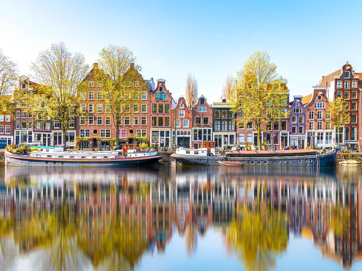
The Dutch capital was founded sometime in the 13th century, though it started to take its present shape around 1612. That year, construction began on Amsterdam’s three main canals — the Herengracht (Gentleman’s Canal), the Keizersgracht (Emperor’s Canal), and Prinsengracht (Prince’s Canal) — that, at the time, extended from the inner portion of the city to the outer portion. These canals formed a semicircular boundary around the city center, turning the metropolis into a space four times its previous size. Waterfront homes were also built along each of the waterways, allowing for ease of travel throughout Amsterdam, as well as simpler transportation of goods.
The various regions of modern-day Amsterdam are seamlessly connected via dozens of bridges that traverse its major canals. As a result, Amsterdam can be comfortably navigated by bike or on foot, and residents needn’t worry about owning a car or parking it if they live in the city center. There are also 30 official parks located within the city limits, providing plenty of green space for residents to enjoy. And for visitors, the curved streets make walking through Amsterdam a more interesting experience than more traditional grid patterns, as you’re never sure what will come into view when winding a corner.
Brasília, Brazil
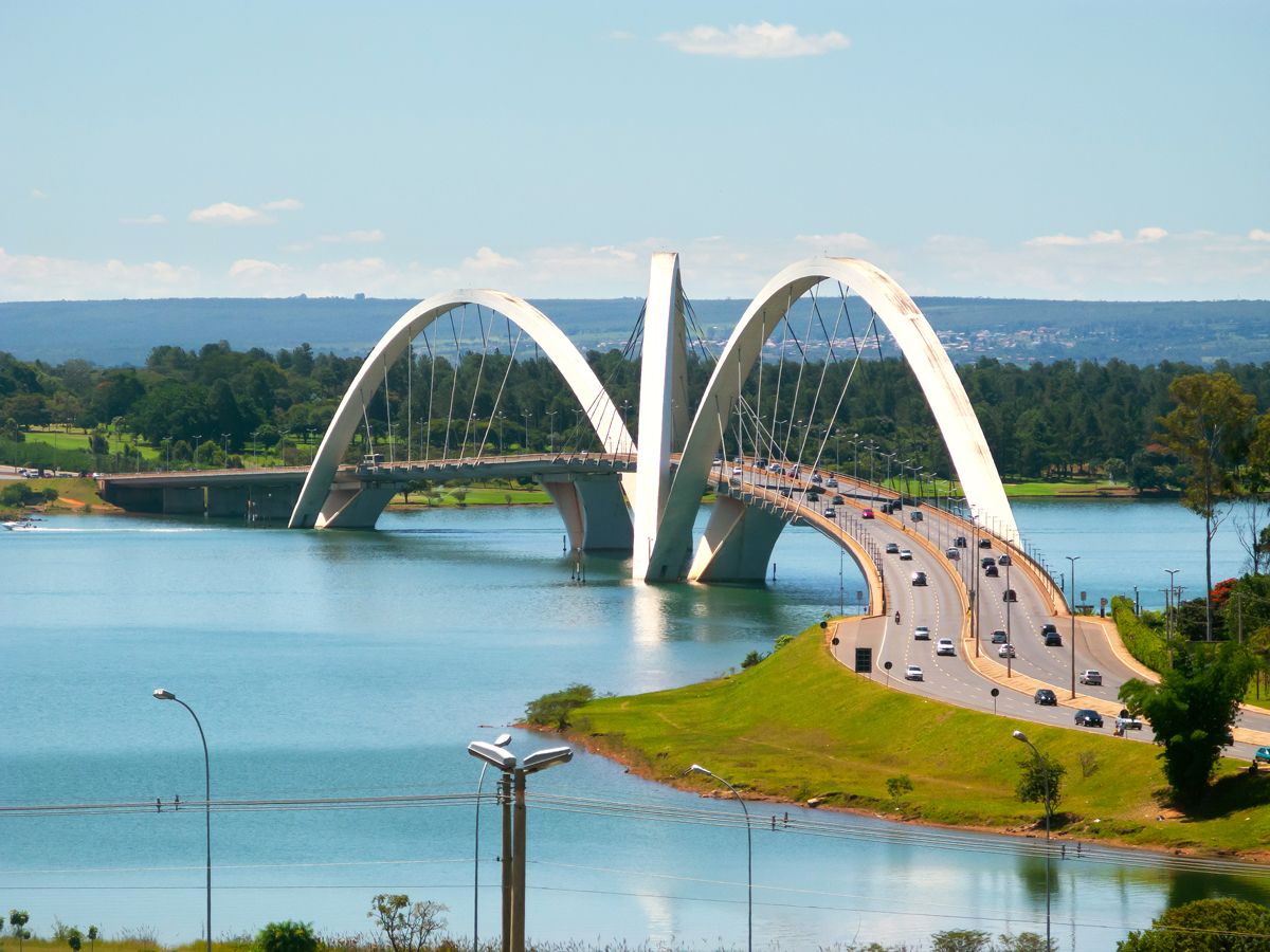
Brasília, the capital of Brazil, is uniquely designed to resemble an airplane or bird when viewed from above. This untraditional layout was no coincidence. In 1956, urban architect Lúcio Costa won a public competition to design Brasília, which was to be built from scratch and serve as the country’s new capital, replacing Rio de Janeiro. Costa spent the next four years forgoing a more traditional grid pattern and opting for an irregular cross layout for the new city, which was finally inaugurated in 1960.
Brasília is divided into several districts. Government buildings are located around the area where an airplane’s fuselage is traditionally found, and local bureaucrats reside in homes located in the “wings” of the city. Costa’s vision was not perfect, however, as the city was only designed for 500,000 people, though it is now home to roughly 2.5 million. Furthermore, his initial plan relied exclusively on car travel and failed to provide adequate accessibility for pedestrians and bicyclists. However, Brazil’s government has worked to improve congestion in recent years. The city is centering its new designs around the needs of pedestrians and cyclists, as well as improved public bus routes.
Chandigarh, India
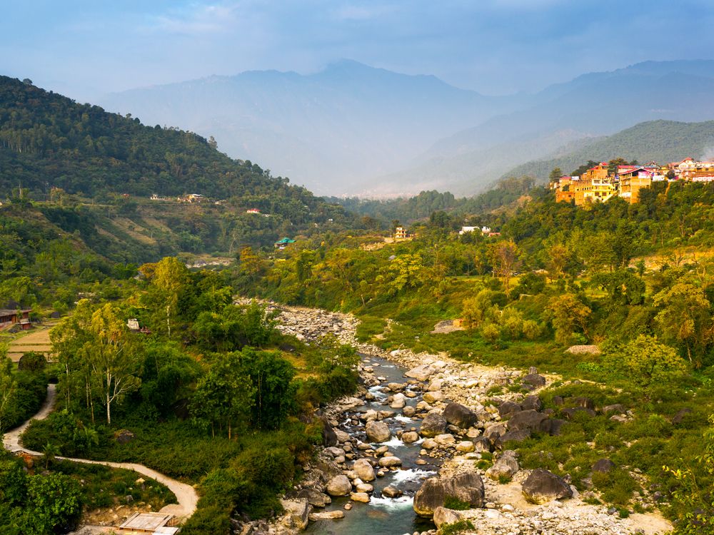
Chandigarh, shared between the northern Indian provinces of Punjab and Haryana, was founded shortly after the partition of India in 1947 and was formally named the provincial capital in 1953. During that six-year period, Chandigarh became a passion project for India’s first Prime Minister Jawaharlal Nehru, who dreamed of creating one of the most eloquently designed cities on the subcontinent. Nehru enlisted the help of prestigious French architect Le Corbusier to make the urban vision a reality.
Le Corbusier conceived of a “master plan” that incorporated a rectangular shape divided into various sectors covering 250 acres each. Each sector featured a north-to-south strip of green space and was crossed by roads that traveled from east to west. Le Corbusier, aware of the city’s socio-economic tensions, also shunned high-rise buildings, as he wanted to prevent any sort of inherent class bias. His ultimate design roughly reflected the shape of the human body, placing the capitol complex around the “head,” commercial buildings in the “heart,” and various education and cultural institutions in the “arms.” The result was a stunning work of urban planning that was both sophisticated and functional.
Copenhagen, Denmark

In 1947, shortly after World War II came to a close, the city of Copenhagen established a “Five Finger Plan” to help encourage future urban development. Essentially, the plan sought to create five individual corridors extending from the city center that looked as if they were the five fingers of a human hand. Each “finger” was to be heavily developed, though the space between the five fingers was to be preserved as green space.
As the city grew during the 1950s and 1960s, the government rejected plans that proposed diverging from the initial “Five Finger” approach. Instead, they extended the length of each finger, providing additional room for expansion without compromising the dedicated natural space that fell in between. As the fingers grew, transportation routes were created to link each one, thus providing for easier access between the various areas of the city without sacrificing the surrounding nature. Today, Copenhagen continues to adhere to that initial 1947 vision to preserve the area’s natural beauty.
Singapore
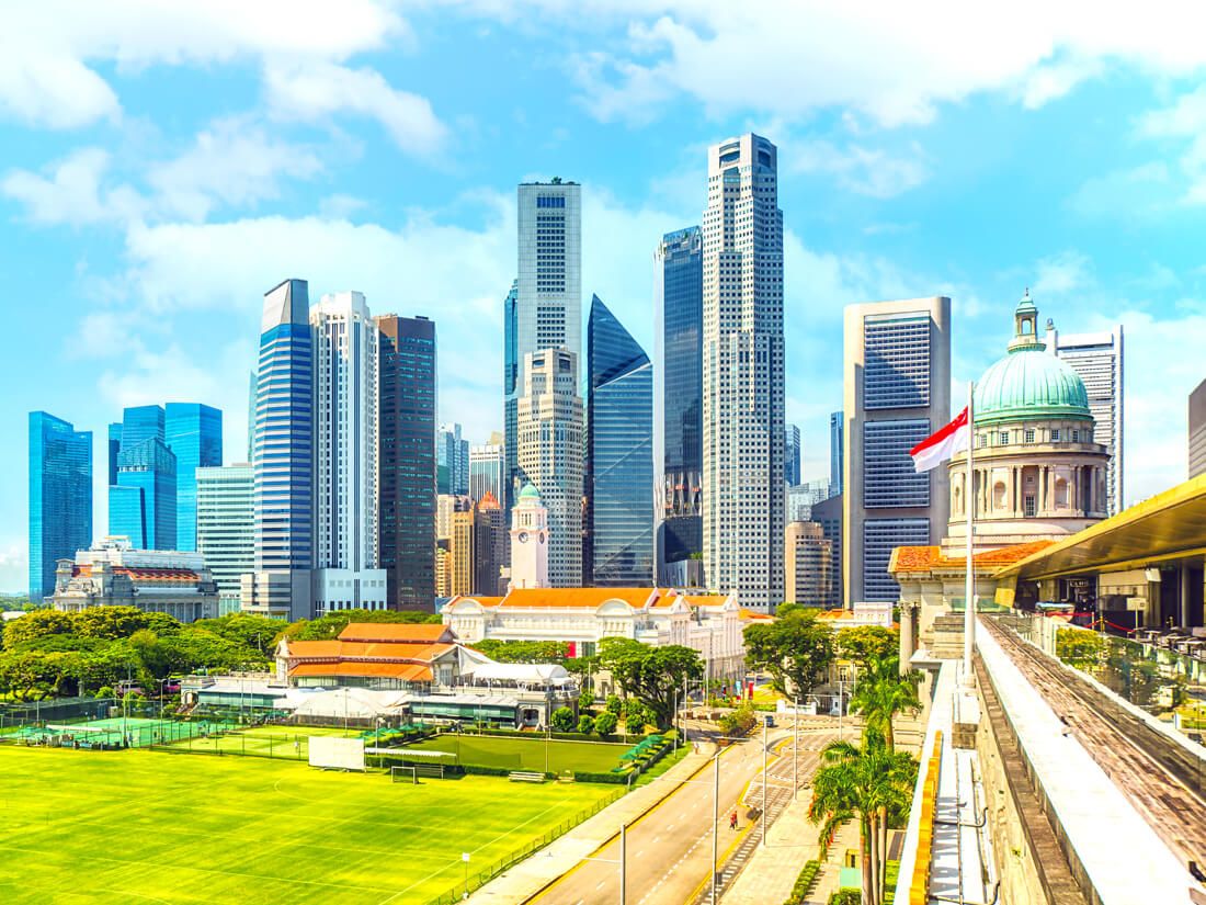
The city-state of Singapore covers only 283.5 square miles, smaller than New York City, but nearly every inch of that area is designed with functionality and convenience in mind. Singapore’s modern design dates to when the country gained independence in 1965. At that time, portions of the city were urbanized, specifically around the port area where British colonists lived. However, many Singaporeans in the outer areas of the city were living in crowded tenements without any reliable water supply. As part of their new independent vision, the government worked to better conditions and design a new city with all residents in mind.
Given the limited space available, urban planners built upwards, which led to the development of a dense and futuristic skyline. On ground level, lush greenery lines the majority of city streets, creating a pleasant and climate-regulating urban environment. The city is also known for its well-maintained roadways that cater to the needs of its 5.8 million residents, as well as a reliable mass rapid transit service that runs on a strict schedule. Today, about 90% of its residents live in homes of their own, which is a far cry from the circumstances of the 1960s. This goes to show how much the government’s urban planning efforts paid off.
Washington, D.C.

Much of the layout of Washington, D.C., was inspired by the L’Enfant Plan, a 1790 proposal that was the brainchild of French-American urban planner Pierre L’Enfant. His vision began at Jenkin’s Hill, which became the site of the U.S. Capitol building. From there, L’Enfant imagined working outwards in each of the four cardinal directions, with the Capitol Dome as the city’s center point. He envisioned a grid pattern with long diagonal thoroughfares connecting the entire city — a concept inspired by an ancient Roman design.
Though L’Enfant was dismissed by President George Washington in 1792 amid disagreements over the plan, his vision laid the groundwork for what Washington, D.C. has become today. A highlight of this vision was a manicured public park extending from the west end of the U.S. Capitol that could house landmarks and sculptures. Today, it’s known as the National Mall — now one of the most-visited tourist attractions in the country. However, it wasn’t until the formation of the McMillan Commission in 1901 that the capital finally brought many of L’Enfant’s initial ideas to their fullest potential. They tidied up the National Mall, expanded the city’s footprint into the Potomac River, and transformed its disorganized farmland into the modern metropolis we know today.
More from our network
Daily Passport is part of Inbox Studio, an email-first media company. *Indicates a third-party property.


