


What Is the Tropic of Cancer? Earth’s Imaginary Lines, Explained
What Is the Tropic of Cancer? Earth’s Imaginary Lines, Explained


When you look at a globe or world map, you’ll probably notice it’s crisscrossed with a series of horizontal and vertical lines, circles, and curves. None of these physically exists on Earth, but each serves a purpose. Some help us describe exact geographical positions, while others are symbolic, serving as tools we use to divide the Earth into hemispheres. If you’ve ever wondered what the Tropic of Cancer or the equator are, below we explain some of the best-known imaginary lines on Earth.
Equator
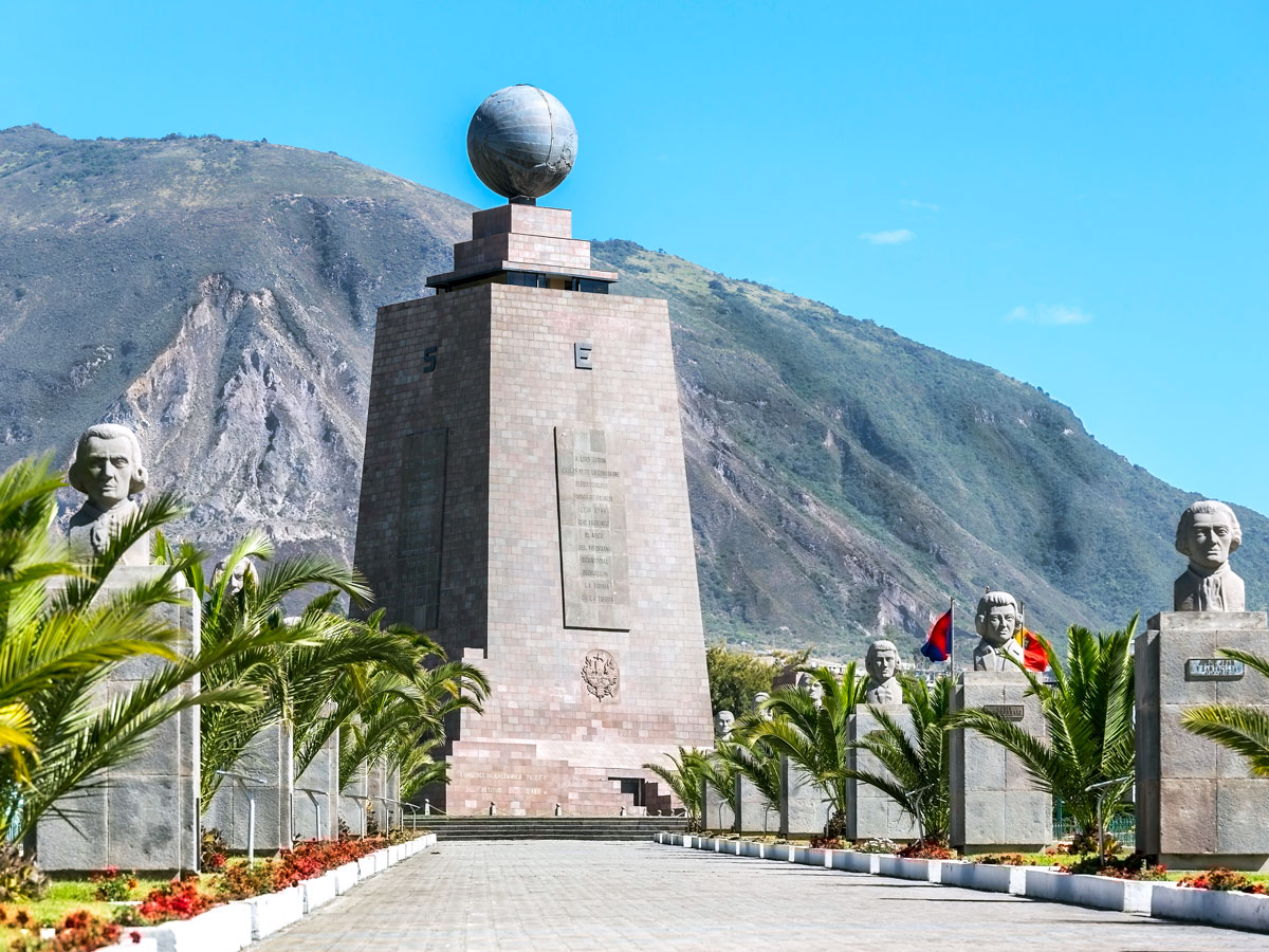
The equator, the most well-known of Earth’s imaginary lines, runs horizontally around the planet at 0 degrees latitude. It represents the exact middle of the planet, falling between the North and South poles. Ancient Greek scholars first understood the idea of the Earth’s circumference circa 240 BCE, and later, European explorers mapped the equator’s location.
Because of the Earth’s tilt and orbit, equatorial regions receive more direct sunlight throughout the year than other parts of the planet. The steady exposure keeps temperatures warm and fairly consistent, though high humidity and frequent rainfall aren’t unheard of. Elevation can also make quite a difference: Quito, Ecuador, for example, sits right on the equator, but because it’s high in the Andes mountains, the city enjoys cool, springlike temperatures year-round. Crossing the equator means moving between the Northern and Southern hemispheres — something you can actually do on foot in places such as Ecuador, Kenya, and Indonesia.
Tropic of Cancer

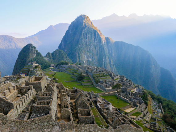
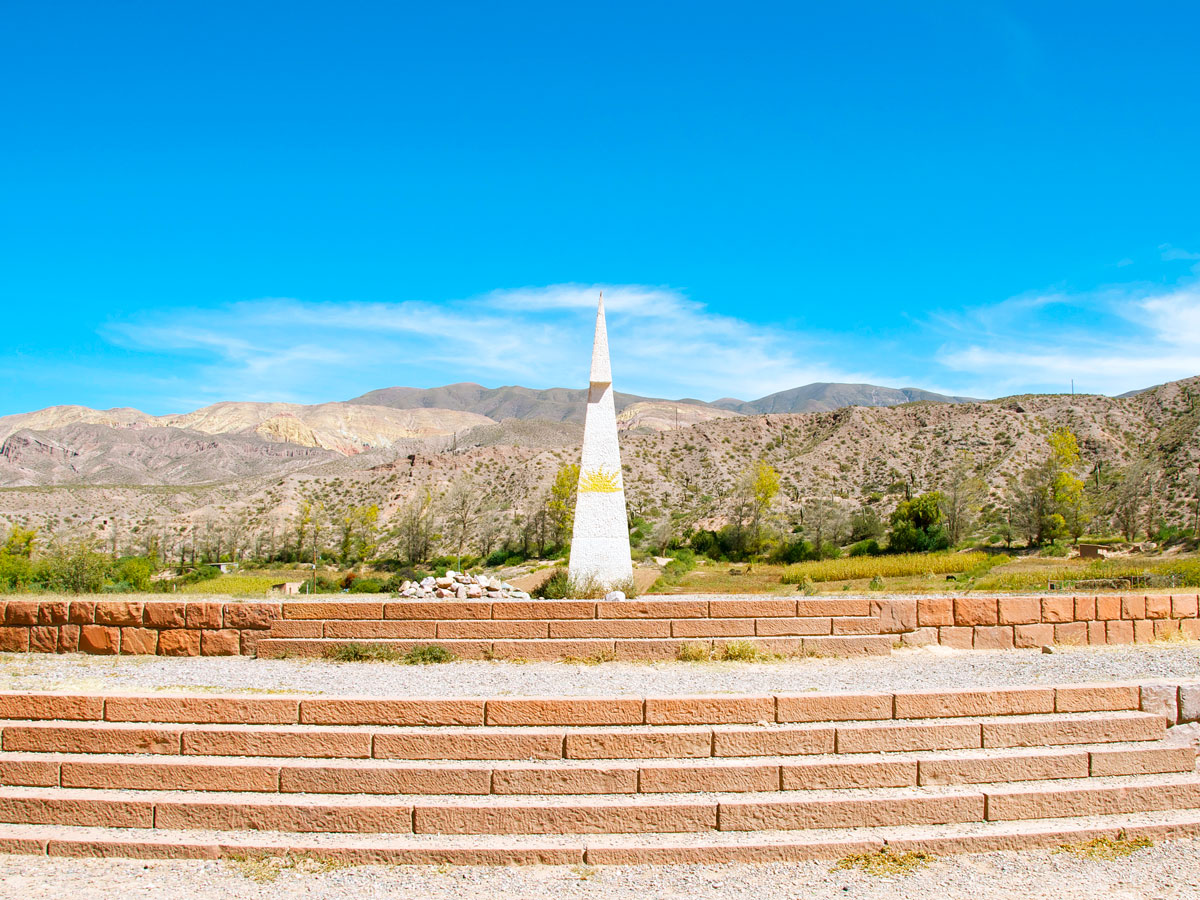
Located approximately 23.5 degrees north of the equator is the Tropic of Cancer. This imaginary latitudinal line marks the northernmost point where the sun can be seen directly overhead at noon, though it happens just once a year during the summer solstice in June, the longest day of the year in the Northern Hemisphere.
The Tropic of Cancer was named around 2,000 years ago. At the time, the sun appeared in the constellation Cancer during the June solstice. (It has since shifted to the Taurus constellation, but the name stuck.) This line also marks the northern edge of the tropics, the warm, humid band that covers almost 40% of the planet’s surface. The Tropic of Cancer passes through 16 countries, including Mexico, Egypt, India, and China.
Tropic of Capricorn
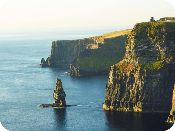
The Tropic of Cancer’s southern counterpart is called the Tropic of Capricorn. Located about 23.5 degrees south of the equator, this line marks the southernmost latitude where the sun can appear directly overhead at noon. Because the Tropic of Capricorn is a seasonal opposite to the Tropic of Cancer, this happens during the December solstice, the longest day of the year in the Southern Hemisphere.
This line also marks the southern boundary of the tropics; it passes through countries including Brazil, Chile, South Africa, and Australia. The Tropics of Cancer and Capricorn were crucial for ancient navigators who relied on the position of the sun to find their way.
Arctic Circle
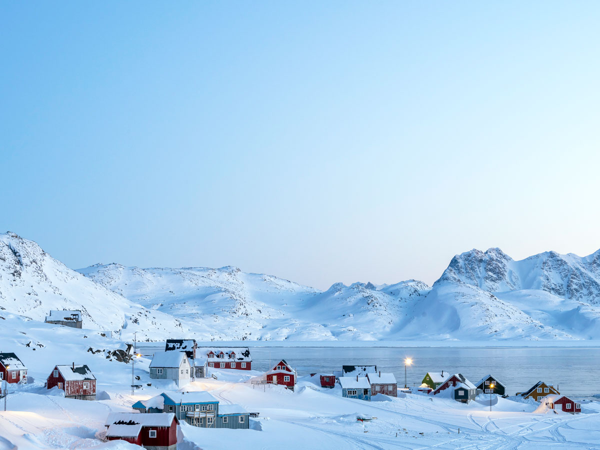
Located at approximately 66.5 degrees north latitude, the Arctic Circle denotes the southern edge of the Earth’s northern polar region. What makes it special isn’t just the region’s geography — it’s also the sunlight.
Because of the Earth’s tilt, at this latitude the sun stays below the horizon all day during the winter solstice, the shortest day of the year. In summer, the opposite happens. The sun can shine at midnight, casting a surreal glow over the landscape, a phenomenon known as the “midnight sun.” As you travel farther north from the Arctic Circle toward the North Pole, those periods of continuous sunlight or darkness get longer.
The Arctic Circle runs through parts of Norway, Sweden, Finland, Russia, Alaska, Canada, and Greenland. It’s not always the easiest trek, but experiencing 24-hour daylight or 24-hour darkness is a bucket-list-worthy adventure for many travelers.
Antarctic Circle
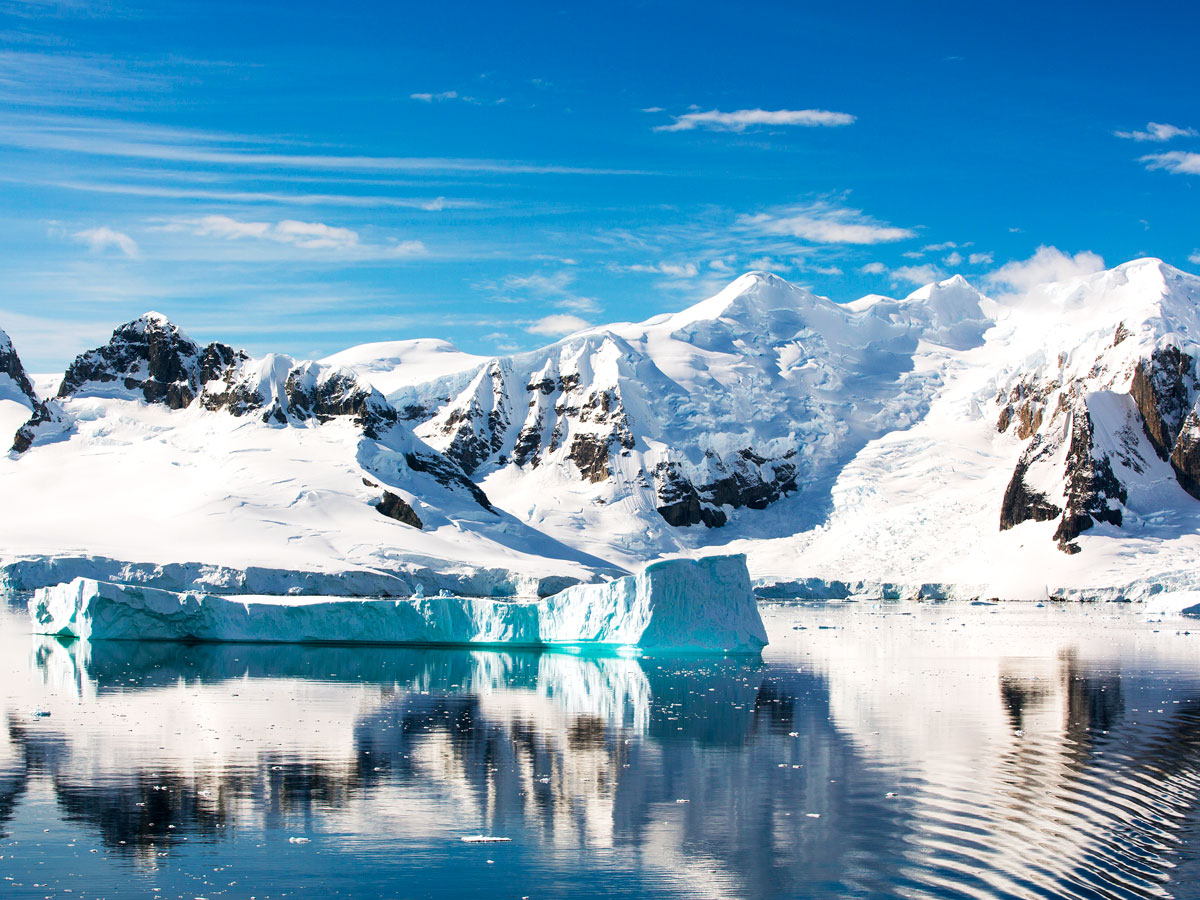
The Antarctic Circle mirrors the Arctic Circle, but in the Southern Hemisphere. It’s located at 66.5 degrees south and marks the edge of Earth’s southern polar region. Like its northern counterpart, it experiences at least one full day of sunlight in summer and darkness in winter.
However, unlike the Arctic, which has many human settlements, the area within the Antarctic Circle is not permanently inhabited. It is home only to scientific research stations and, of course, wildlife such as penguins, seals, and seabirds. The land here is covered by the Antarctic ice sheet, which contains about 60% of the world’s fresh water.
Prime Meridian

The prime meridian is a line representing 0 degrees longitude that runs vertically from the North Pole to the South Pole. Unlike latitude lines, which relate to sunlight and climate, the prime meridian is a human-made reference point used to measure east and west around the Earth. It also serves as the foundation for Coordinated Universal Time (UTC), which is the standard for world time zones. Clocks around the world are set ahead or behind based on their distance from this line.
The prime meridian passes through Greenwich, England, which is why it’s sometimes referred to as the Greenwich meridian. If you visit Greenwich today, you can stand at the site where the prime meridian was established in 1884.
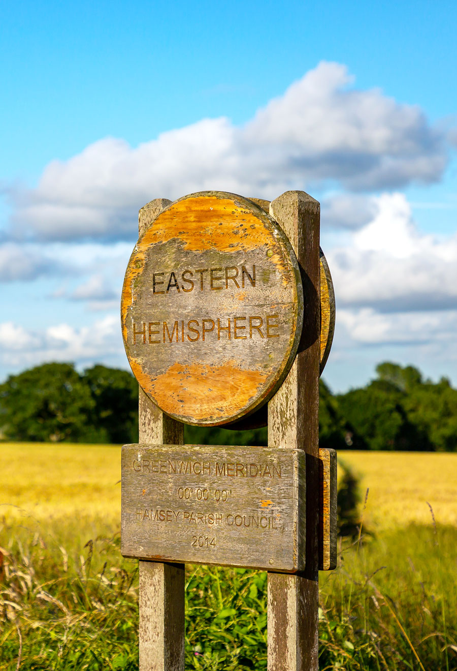
International Date Line

The international date line may be the most fascinating of Earth’s imaginary lines. Unlike the relatively straight prime meridian, the international date line zigzags (mostly) along the 180-degree line of longitude in the middle of the Pacific Ocean. This line wasn’t chosen randomly: It was established during the 1884 International Meridian Conference and was drawn that way to avoid passing through land. The prime meridian was set at the same time, and together the two imaginary lines divide the Earth into its Eastern Hemisphere and Western Hemisphere.
The international date line marks the geographic spot where one calendar day ends and the next begins. Crossing it westward means jumping forward a full day; crossing eastward sends you back in time by one day. It’s a one-of-a-kind experience that few other places on Earth can offer travelers.
More from our network
Daily Passport is part of Inbox Studio, an email-first media company. *Indicates a third-party property.