With about 337 million people spread out over 3,532,316 square miles of land area, the average population density of the United States is just over 95 individuals per square mile. But in certain parts of the nation, those density numbers skyrocket into the thousands. On a countywide level, the densest counties, as you’d expect, tend to be those that contain at least one major city, where you’ll find many people residing within a smaller area. Using 2023 data provided by the U.S. Census Bureau, here’s a look at the top 10 densest counties in the U.S.
10. Alexandria City, Virginia
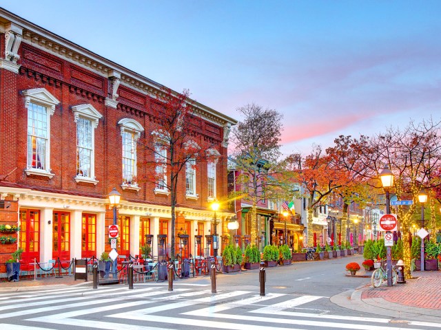
Population density: 10,393.5 people per square mile
This D.C. suburb is home to roughly 155,230 residents across around 15 square miles of total land area — making it the 10th-densest county in the nation. Located just a few miles south of Washington, D.C., Alexandria is a city that essentially acts as its own county, as cities throughout Virginia have no larger county affiliation (and are considered county-equivalents for census purposes).
The city was founded in 1749, and many historical buildings from that era can be found throughout the Alexandrian Old Town, which was established in 1946 as the third-oldest historic district in the United States. If you’re looking for a reprieve from the crowded streets of Alexandria, take a trip over to the George Washington Masonic National Memorial. Not to be confused with a similar memorial in D.C., this 333-foot-tall building sits in a hilltop park and contains a colossal bronze head of America’s first president.
9. Washington, District of Columbia
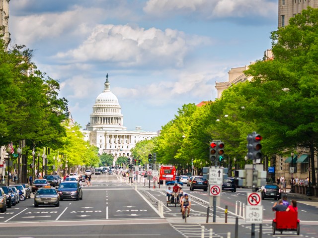
Population density: 11,107.7 people per square mile
In terms of the role that its local government plays, Washington, D.C., essentially acts as a city, a state, and a county all in one. There are roughly 678,000 people who call our nation’s capital home. The city is broken up into four geographical quadrants: Northwest, Northeast, Southwest, and Southeast. Northwest D.C. is the most heavily populated quadrant, while Southwest is the least. NW, as it’s known, is where you’ll find iconic landmarks like the White House and some of D.C.’s most charming residential neighborhoods.
8. Philadelphia County, Pennsylvania

Population density: 11,540.5 people per square mile
Philadelphia County was founded in 1682 by William Penn. Ever since the Consolidation Act of 1854, the borders of the county have been identical to those of the city of Philadelphia itself. Home to over 1.55 million residents, Philly is the sixth-most populous city in the United States.
A notable aspect of Philadelphia housing is its use of “row houses.” These tightly packed homes were built in the city beginning in the mid-17th century, and were designed to fit in narrow lots to accommodate the city’s booming population.
7. Suffolk County, Massachusetts
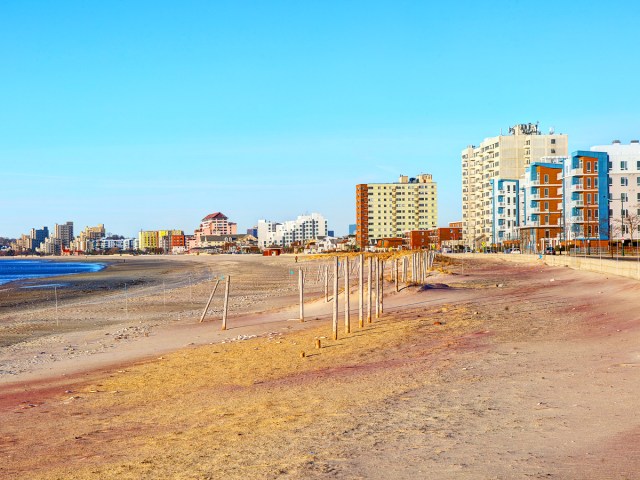
Population density: 13,191.1 people per square mile
In addition to midsized cities such as Chelsea and Revere, Suffolk County contains Boston, the capital of Massachusetts and a major metropolis with upwards of 650,000 residents. The county encompasses all of the waterfront land in the Boston area, as well as a few islands that extend out into Massachusetts Bay. It’s both the second-largest Massachusetts county by population, and the second-smallest in the state by area, giving it the further distinction of being America’s seventh-densest county.
6. Hudson County, New Jersey
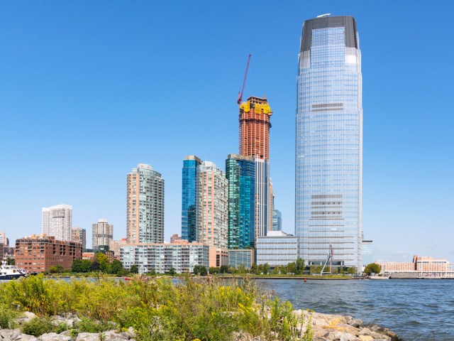
Population density: 15,272.1 people per square mile
Hudson County sits on the western side of the Hudson River directly across from New York City. It contains the bustling metropolitan areas of Bayonne, Hoboken, Jersey City, Secaucus, and Weehawken, to name a few. All told, there are more than 700,000 people who live in Hudson County. Many people who work in New York City reside in various parts of Hudson County, as it’s easy to access Manhattan by the NJ Transit commuter rail or the underground PATH train.
5. San Francisco County, California

Population density: 17,323.2 people per square mile
San Francisco County lies concurrent with the city limits of San Francisco, where nearly 810,000 people live. Given that the county encompasses only around 46.7 square miles of total area, it has one of the highest population densities of any American county.
With such limited space, the county is also among the priciest in the nation. The South of Market neighborhood charges an average of $5,415 per square foot of living space. Besides a handful of green areas like Golden Gate Park and the Presidio, nearly every square foot of San Francisco County is developed, which means the only way to build is up.
4. Queens County, New York
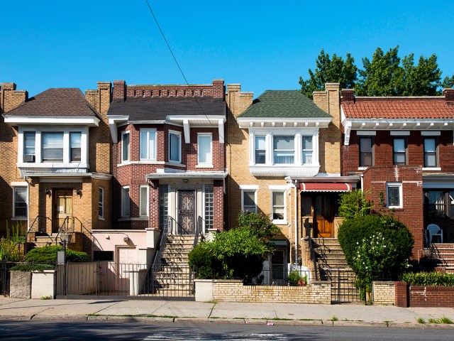
Population density: 20,714.8 people per square mile
Queens County contains one of the five boroughs of New York City, and is home to around 2.2 million New Yorkers. Despite Queens being the largest borough with 109 square miles of total land area, its neighborhoods are densely packed.
Queens County is among the most diverse places in the country, too. According to a 2019 study by Axios, if you were to select two Americans at random, there’s a 57% chance that they’d come from different ethnic backgrounds. But in Queens, that number jumps to 76%, as it’s a true melting pot of many cultures.
3. Bronx County, New York
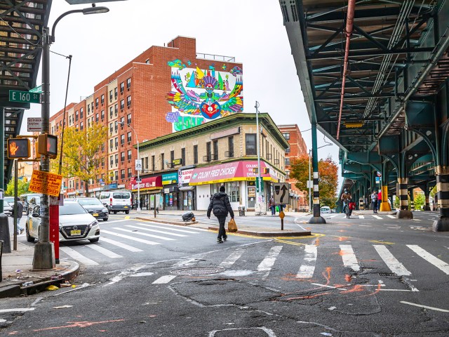
Population density: 32,162.2 people per square mile
Bronx County is the second county within New York City to crack the top 10 densest U.S. counties. This is the northernmost county in the city, bordering Westchester County to the north. About 1.4 million people live in the Bronx’s 42 square miles.
In addition to being the third-most densely populated county in the country, the Bronx is also the greenest county in New York. Nearly a quarter of the borough is covered by parks. Given the expansive greenery, there’s even less room for residential properties, making the living spaces that do exist all the more tightly packed.
2. Kings County, New York
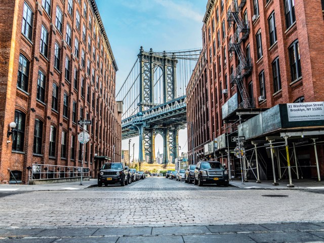
Population density: 36,917.7 people per square mile
Kings County — home to the borough of Brooklyn — is New York City’s most populous county, with around 2.5 million people spread out across 71 square miles of land area. If the county were to become its own city, Kings County would have the fourth-largest population of any U.S. city, after New York, Los Angeles, and Chicago.
1. New York County, New York

Population density: 70,502.8 people per square mile
The densest county in the United States is New York County, which shares its borders with the island of Manhattan. With 23 square miles of land, Manhattan is the smallest borough in New York City, yet it’s still home to around 1.6 million people. This gives New York County a population density of a staggering 70,502.8 people per square mile — nearly double the next closest entry on the list.
While there have been several efforts to reclaim parts of the Hudson and East rivers that border Manhattan, space in New York County remains at a premium. The city also continues to rapidly develop, with supertall skyscrapers containing hundreds of apartments popping up left and right — which will only add to the total density numbers as the years progress.
More from our network
Daily Passport is part of Inbox Studio, which publishes content that uplifts, informs, and inspires.

