


A Guide to Canada’s 13 Provinces and Territories
A Guide to Canada’s 13 Provinces and Territories

Canada — the second-largest country in the world after Russia — is made up of 10 provinces and three territories. They extend from the Atlantic all the way to the Pacific, south to the U.S. border, and north to the Arctic Circle. For a country so expansive, however, Canada is sparsely populated by only about 39 million residents. Yet, from the bustling cityscape of Ontario’s capital to the serene beauty of the Maritime provinces and the untamed wilderness of the Yukon, cultural richness and natural wonders abound across the Great White North. Read on for an essential guide to Canada’s provinces and territories.
Alberta

Alberta boasts one of the largest oil reserves in the world, but this Prairie province’s topography is much more than mined flatlands. Its diverse landscape also includes the Canadian Rocky Mountains and the stunning turquoise glacial runoff waters of Lake Moraine and Lake Louise. Alberta officially became a Province on September 1, 1905, and was named for Princess Louise Caroline Alberta, daughter of Queen Victoria and the wife of John Campbell, one-time Governor General of Canada.
About 60% of its 255,000 square miles is covered by forest, and 4.7 million people call this rapidly growing province home. Aside from its stunning national parks, which include Banff and Jasper, Alberta is home to major cities such as Edmonton and Calgary — the latter of which celebrates its cattle ranch past with the world-renowned Calgary Stampede rodeo every year.
British Columbia

Located on Canada’s picturesque western coast, British Columbia’s 17,000 miles of Pacific Ocean shoreline range from low-lying wetlands to dramatic fjords. Just over 5 million people live in the province’s 364,000 square miles, and many enjoy active outdoor lifestyles thanks to British Columbia’s mild and temperate climate and stunning natural landscapes.
The colony of British Columbia was founded in 1858 during the Fraser River Gold Rush. In July 1871, it joined the Canadian Confederation and officially became a province. It’s hard to find a spot that isn’t beautiful in “B.C.,” as its known locally, whether exploring the remote Haida Gwaii archipelago, the old-growth forests of MacMillan Provincial Park, or taking in a view of the North Shore Mountains from the province’s biggest city, Vancouver.
Manitoba

Manitoba holds an important place in Canadian history. It was the birthplace of the Métis people’s resistance, led by Louis Riel, which resulted in the region’s entry into Confederation in 1870. The central-Canadian province’s landscape spans 250,000 square miles and more than 100,000 lakes, including Lake Winnipeg — the fifth-largest freshwater lake in Canada.
Manitoba is generally flat, and during the winter months it’s often exposed to frigid Arctic air masses that blanket the area for weeks at a time. That doesn’t deter the 1.4 million people who call it home — though its lakes freeze, they become havens for snowmobilers, skiers, and ice fishers. The province’s primary cultural and economic hub is Winnipeg, the capital and largest city. Meanwhile, the tiny, remote town of Churchill is known as the “Polar Bear Capital of the World,” a place where polar bears and beluga whales migrate in droves in the summer.
New Brunswick

New Brunswick is the only officially bilingual Canadian province. Of the more than 800,000 people who call the province home, 42% of them speak both French and English, the two official languages. This eastern province spans approximately 28,000 square miles, making it the largest of Canada’s three Maritime provinces. Founded as a colony in 1784, New Brunswick is also one of the oldest provinces, becoming one of the original four to join the Confederation in 1867.
New Brunswick is renowned for its stunning coastal scenery along the Bay of Fundy, home to the famous Flowerpot Rocks and the world’s highest tides. That’s not the only coastal wonder: Canada’s warmest salt water beaches can be found along New Brunswick’s eastern border along the Northumberland Strait. New Brunswick’s biggest cities — Fredericton, St. John, and Moncton — are popular university towns and have thriving independent music and arts scenes. Meanwhile, the small town of Florenceville is home to the world’s largest manufacturer of frozen potato products, McCain’s.
Newfoundland and Labrador

The coastal province of Newfoundland and Labrador is known for glacier-carved fjords, alpine vistas, and historically significant fossil sites. The easternmost Canadian province is also the country’s youngest, having only joined Canada in 1949. The region — which includes the island of Newfoundland and the mainland portion of Labrador — spans over 156,000 square miles and is home to around 520,000 people, many of them concentrated in its capital city of St. John’s.
The province holds a deep connection to its maritime heritage, evident in its fishing villages, lighthouses, and the historic significance of sites like Signal Hill — where the first transatlantic wireless signal was received. One of Newfoundland and Labrador’s most unique annual attractions occurs when massive icebergs migrate along its coasts. It also boasts the UNESCO World Heritage Site Gros Morne, with rare geological formations and immaculate landscapes.
Nova Scotia

Nova Scotia — Latin for “New Scotland” — is the second-smallest province in Canada in terms of area, covering 21,345 square miles. However, Nova Scotia is the most populous of the Atlantic provinces — just over 1 million people call its rolling hills, dense forests, and saltwater shorelines home. In 1867, Nova Scotia became one of Canada’s founding provinces.
Nova Scotia’s Cabot Trail is a popular 200-mile scenic drive around the northern edge of Cape Breton, while the fishing village of Peggy’s Cove takes visitors to the edge of the Atlantic Ocean as they stand under its famous lighthouse. Perhaps unsurprisingly, Nova Scotia is also known for its maritime heritage, highlighted by the iconic Bluenose schooner and rich Celtic and Acadian cultural and musical traditions.
Ontario

From the CN Tower to Niagara Falls and Parliament Hill, the province of Ontario encompasses some of Canada’s most iconic landmarks. It’s also the most populous province, home to over 15.6 million people. But at 415,000 square miles, it’s not the largest — that honor goes to Quebec. When Ontario joined the Canadian Confederation on July 1, 1867, it was known as Canada West — the western arm of the one-time Province of Canada, which also included the future province of Quebec to the east.
Ontario’s capital city of Toronto is the most populous metro area in Canada, home to over 6.6 million people, and a global financial and entertainment hub. A few hours north, Algonquin Provincial Park is a beloved gateway to unspoiled and, at times, rugged wilderness.
Prince Edward Island

The smallest province in Canada is known affectionately as “P.E.I.” Prince Edward Island covers just over 2,000 square miles, and is home to about 170,000 people. P.E.I. is considered the country’s Birthplace of Confederation, having hosted leaders and meetings in 1864. Despite that fact, the one-time British colony didn’t become a Canadian province until 1873, six years after the first provinces joined.
P.E.I. is known for its unique red-sand beaches, a result of high iron in the surrounding soil. Thunder Cove Beach also has beautiful sandstone cliffs and sea stacks on the shores of the Gulf of St. Lawrence. Cavendish Beach is the most famous on the island, but it does get busy with fans of Lucy Maud Montgomery’s beloved Anne of Green Gables series. They come to the small shore from all over the world to visit the setting of the Canadian literary classic.
Quebec

Quebec is by far the largest province, with its 524,000 square miles accounting for 15.4% of the country’s total area. Established as a French colony in 1608 and made a province in 1867, Quebec continues to foster a deeply rooted French-Canadian culture. The province’s almost 9 million residents help sustain a singular Quebecois arts and entertainment ecosystem and keep Francophone culture strong.
Quebec is well-known for its ski resorts, including Mont Tremblant, carved into the Laurentian Mountains and featuring a charming Swiss-inspired town. The provincial capital, Quebec City, is one of the oldest European settlements in North America, home to cobblestone streets and 17th-century architecture. Montreal is the province’s largest city, home to neighborhoods such Plateau-Mont-Royal and Mile End that offer a laid-back, creative atmosphere. And no trip to Quebec is complete without a visit to a sugar shack: Maple syrup is the province’s specialty, and over 90% of the country’s supply comes from the province’s lush forests.
Saskatchewan

Landlocked in the heart of Canada, the endless horizons of Saskatchewan’s vast prairies lend the province its nickname, the “land of the living skies.” The moniker perfectly conjures the way a sunset’s glow lingers and the clouds constantly paint the sky so uniquely in this region. Covering 252,000 square miles, Saskatchewan became its own province in 1905, when it broke away from the southern region of the Northwest Territories (along with Alberta).
The province’s economy has historically been rooted in grains, earning it another nickname: “Canada’s Breadbasket.” The 1.2 million people who call Saskatchewan home are privy to unique outdoor experiences, including fishing in its numerous lakes, exploring the rugged coulee landscape of Grasslands National Park, and, in the northern part of the province, witnessing unique natural wonders such as the northern lights and the Athabasca Sand Dunes.
Northwest Territories

In 1870, the Northwest Territories were officially established as a federal territory of Canada. The expansive unspoiled territory covers 520,000 square miles but houses just over 45,000 inhabitants. It boasts incredible natural wonders, including the Nahanni National Park Reserve, a UNESCO World Heritage Site famous for its rugged canyons and hot springs with a view.
Many diverse Indigenous communities call the Northwest Territories home, including the Dene, Metis, and Inuit peoples. The region is a land of extremes, where frigid winters give way to fleeting summers of almost-endless daylight. Here, the northern lights can be seen more nights than not, and the surreal seaside landmark known as the Smoking Hills has been billowing on the shores of the Arctic Ocean for thousands of years.
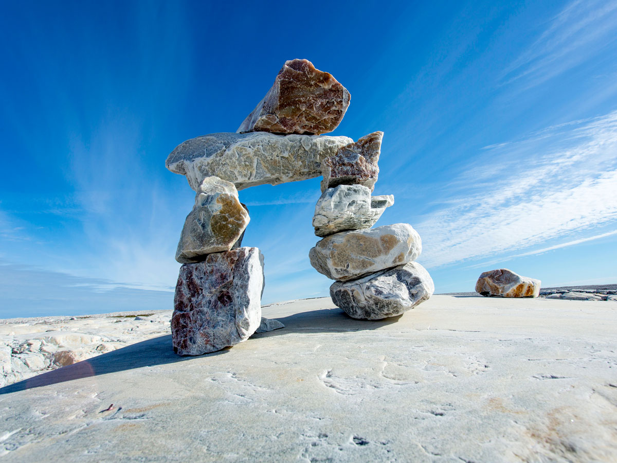
Nunavut

The newest and largest Canadian territory, Nunavut covers a mind-boggling 808,000 square miles, but is sparsely populated by only about 40,000 people, predominantly of the Inuit culture. It was established in 1999 as a result of the Nunavut Land Claims Agreement, which sought to recognize the rights of the Indigenous Inuit peoples, granting them self-governance over their ancestral lands.
Nunavut is defined by boundless tundras, icy fjords, and a unique ecosystem supporting a range of wildlife. Polar bears, whales, and most of Canada’s muskoxen population call this Arctic archipelago home. The territory’s culture is celebrated through traditional Inuit arts, such as throat singing, and festivals like Nunavut Day, which celebrates what makes it one of Canada’s most fascinating and culturally important regions.
Yukon

In 1898, the Klondike Gold Rush prompted the Canadian government to split Yukon from the Northwest Territories and make a new territory. Today, the territory’s expansive landscape encapsulates over 186,000 square miles and contains some of the highest mountains in Canada (including Mount Logan and Luciana), pristine lakes, and over 100 million acres of boreal forests that are teeming with wildlife. The forests are home to Woodland caribou and grizzly bears — historically significant to the area’s Indigenous communities.
Over two-thirds of the territory’s 44,000 residents live in Whitehorse, the Yukon’s capital since 1953 and a great place to wander during the 24-hour sunlight that happens near the summer solstice. Today, the Klondike region and its historical sites like Dawson City help preserve the legacy of the Gold Rush era.
More from our network
Daily Passport is part of Inbox Studio, an email-first media company. *Indicates a third-party property.


