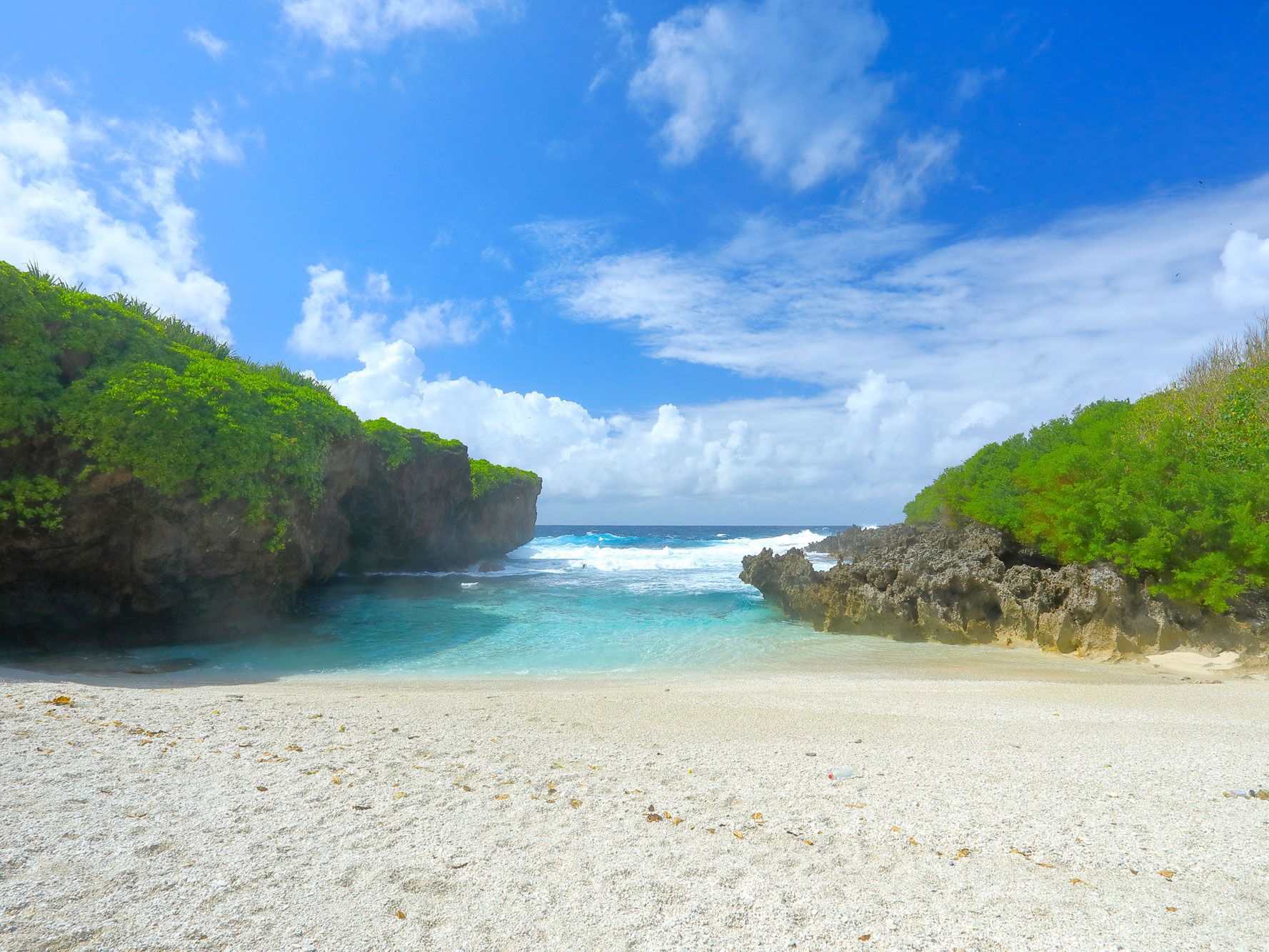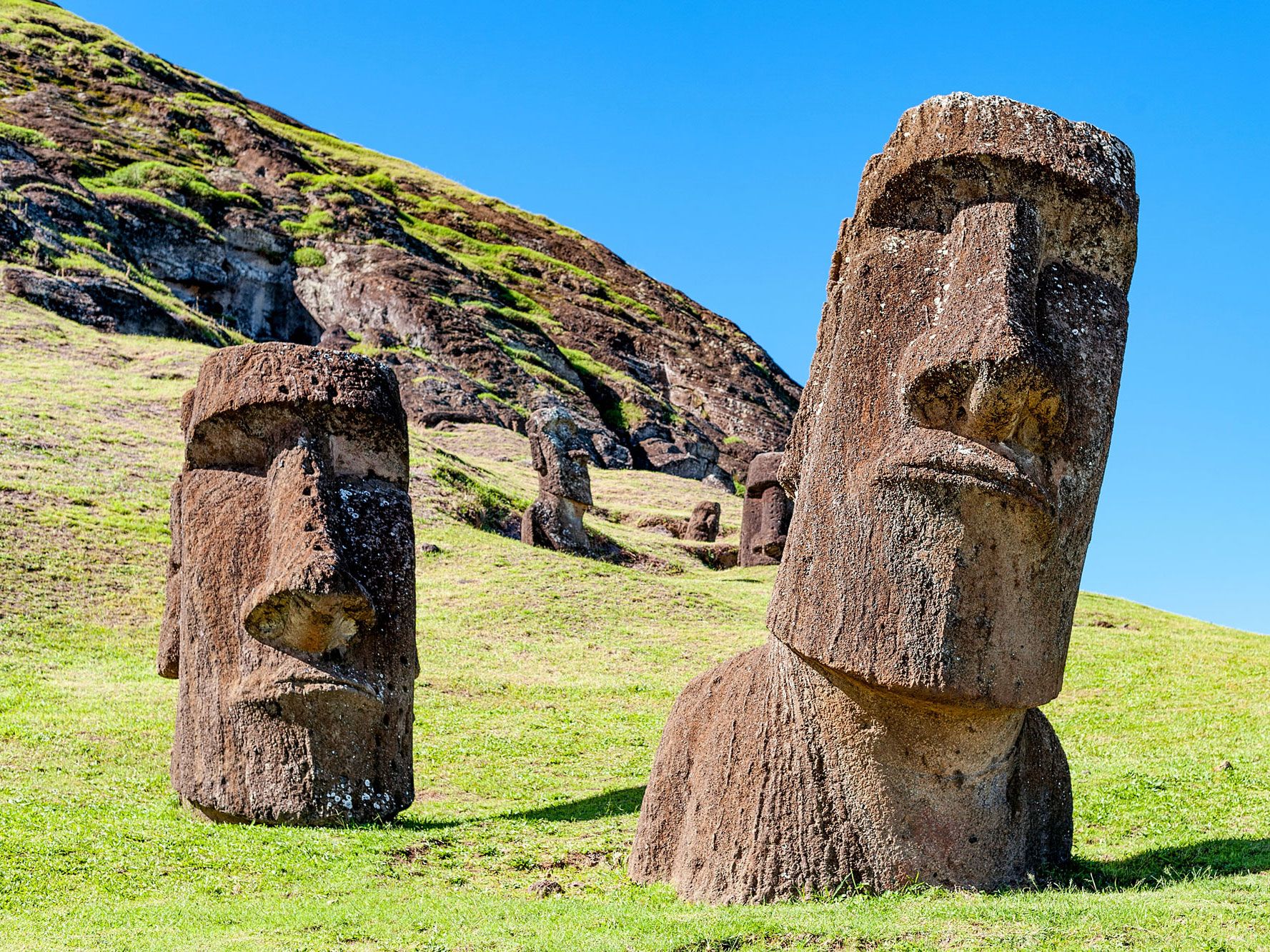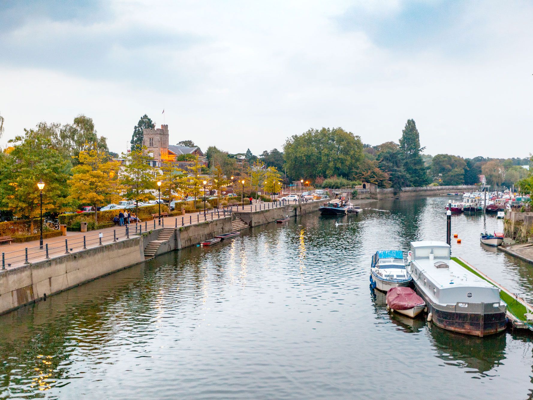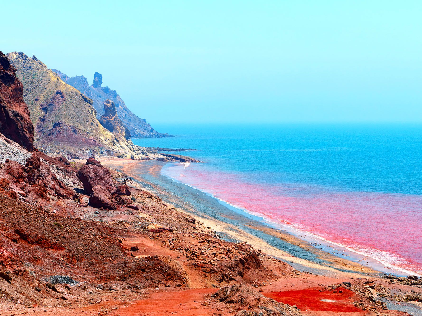


Post Banner Image
Architecture

Cruise Down 10 of the World’s Longest Highways
By Daily Passport Team
Read time: 6 minutes
August 24, 2023
Updated: September 5, 2023

Cruise Down 10 of the World’s Longest Highways

By Daily Passport Team
Author
Daily Passport Team
Daily Passport writers have been seen in publications such as National Geographic, Food & Wine, CBC, Condé Nast Traveler, and Business Insider. They're passionate about uncovering unique destinations and sharing expert tips with curious travelers.

Roadways criss-cross our planet, providing a vital transportation link between countries, cities, villages, and far-flung places. By some estimates, there are nearly 40 million miles of roads on Earth, ranging from tiny Main Streets to highways that span thousands of miles. If you’re looking to explore the latter on an epic road trip, buckle up and journey down 10 of the world’s longest highways. 

10. Interstate 80 – United States
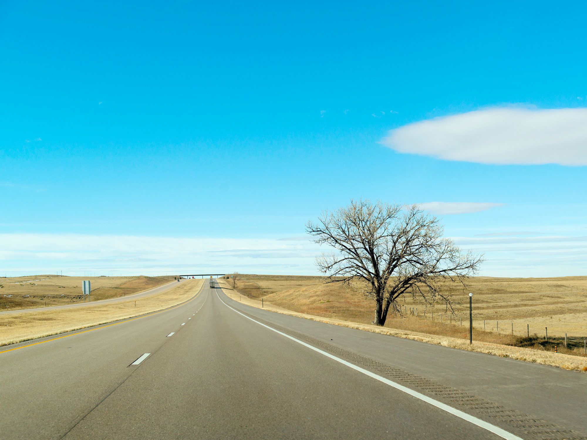
Lone tree on the side of Interstate 80
Photo credit: Peter Ptschelinzew/ Alamy Stock Photo

Spanning 2,899 miles, Interstate 80 is the second-longest highway within America’s Interstate Highway System. Starting in Teaneck, New Jersey, it passes through 11 states before finishing at the point where San Francisco’s Mission District, Potrero Hill and SoMa neighborhoods meet. This transcontinental road roughly follows the route of the Lincoln Highway — the nation’s first transcontinental road for automobiles — and also retraces historic emigrant routes, such as the Oregon Trail and California Trail. There are dozens of interesting and offbeat attractions to keep travelers busy along the way. Among them are Ohio’s Cuyahoga Valley National Park, the World’s Largest Time Capsule in Nebraska, and Tahoe National Forest in California’s Sierra Nevada Mountains.

9. Interstate 90 – United States
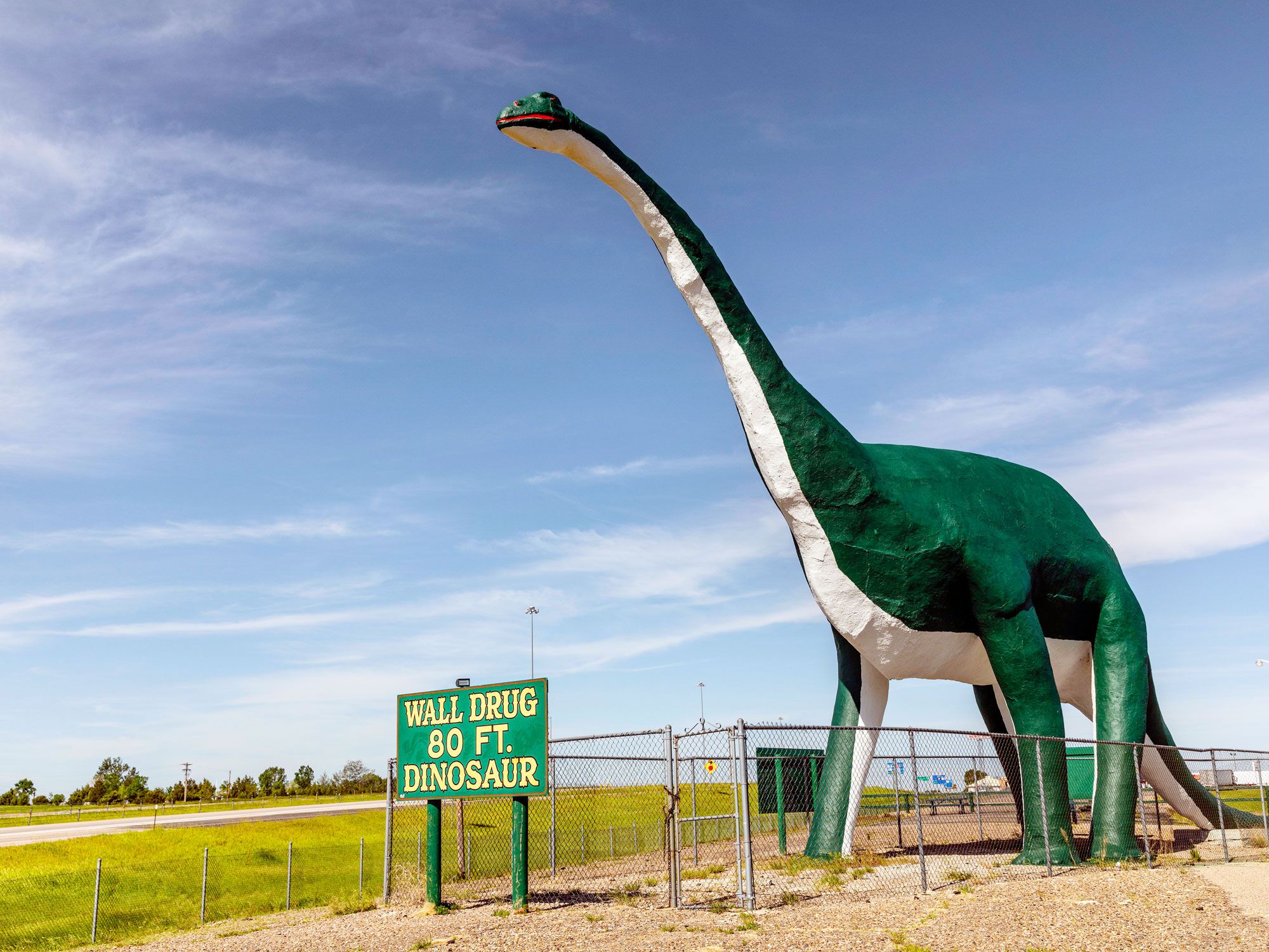
Giant dinosaur roadside attraction off Interstate 90
Photo credit: Images By T.O.K./ Alamy Stock Photo

Beating Interstate 80 by just 121 miles to the top spot on the list of longest interstate highways is the 3,020-mile-long Interstate 90. It crosses 13 states in the northern part of the country, traveling between Boston and Seattle. From the shorelines of Lake Erie and Lake Michigan (two of the Great Lakes) to the Great Plains of South Dakota and the Rocky Mountains, the highway passes through many areas of breathtaking natural beauty. Due to its northerly location, temporary closures of the route are common in the winter following heavy snowfalls. A few highlights along the route include Minnesota’s 55-foot-tall Jolly Green Giant Statue, Mount Rushmore National Monument, and Garnet Ghost Town in Montana.

8. U.S. Route 6

Sign for Provincetown, Massachusetts, along U.S. Route 6
Photo credit: Earl D. Walker/ Shutterstock

U.S. Route 6 makes it possible to drive for 3,199 miles from Provincetown, Massachusetts, on the northern tip of Cape Cod, to the city of Bishop, which sits close to the California-Nevada border. Starting in the east, the road passes the dune-covered beaches of the Cape Cod National Seashore before winding through 14 states. Travelers can look forward to exploring the northern suburbs of New York City, stargazing in Pennsylvania’s Cherry Springs State Park, and driving around the hair-raising Loveland Pass at the Continental Divide. In 1953, the route adopted the name Grand Army of the Republic Highway in honor of Civil War veterans.

7. Ruta 40 – Argentina
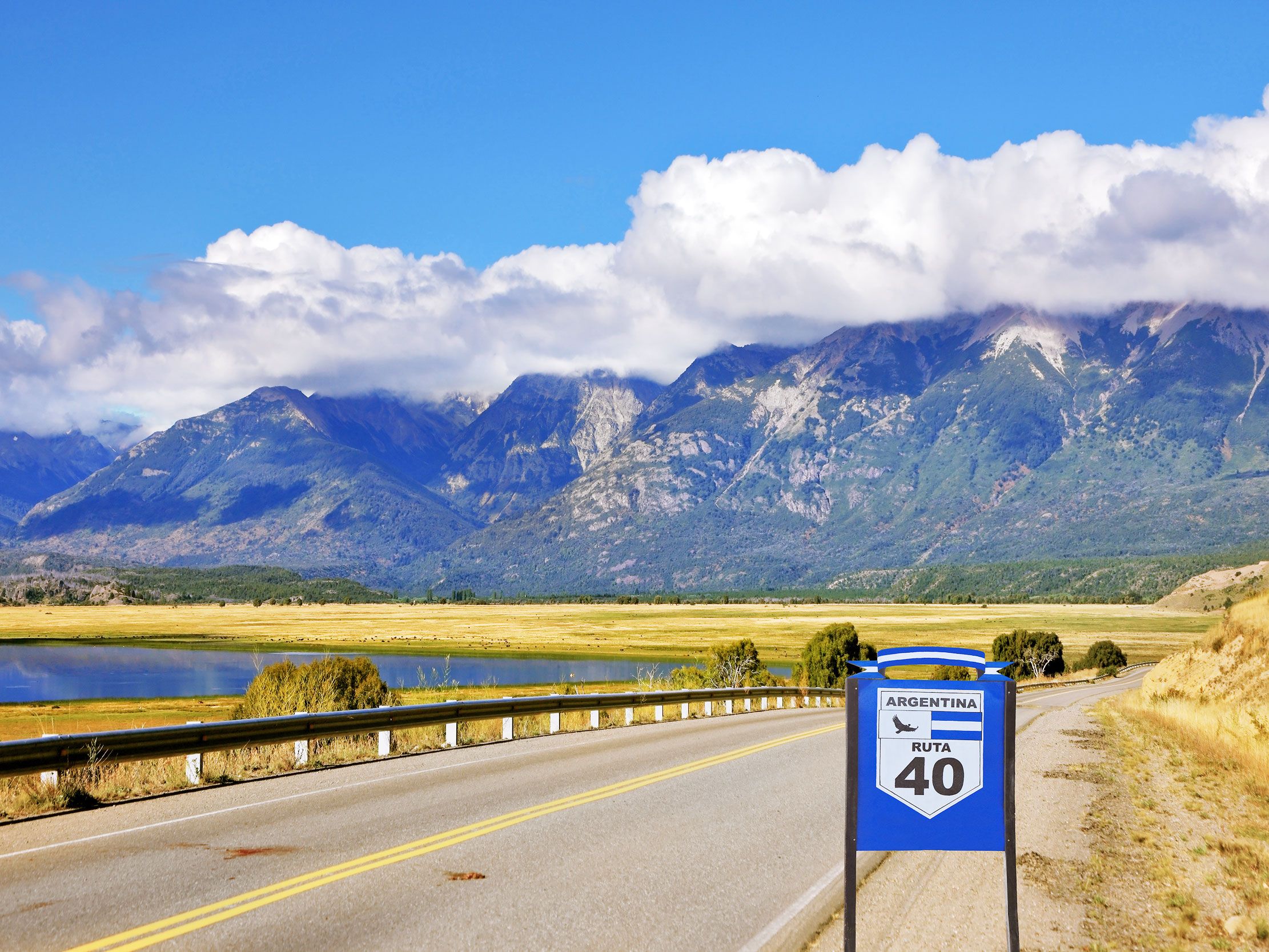
Sign indicating Ruta 40 in Argentina, with mountains in distance
Photo credit: kavram/ Shutterstock

Ruta 40 is Argentina’s longest road, winding 3,227 miles from the town of La Quiaca, on the Bolivian border, to Cabo Virgenes, on the southeastern corner of the country. Che Guevara famously traversed a stretch of this part-paved, part-dirt track, a journey which was portrayed in the 2004 film The Motorcycle Diaries. The route crosses 11 provinces and dozens of national parks. From the Andes mountains and gigantic glaciers to vineyards and wild rivers, Ruta 40 offers an amazing showcase of Argentina’s natural treasures. Popular sights include the Salinas Grandes Salt Flats, Seven Lakes Road, and Perito Moreno Glacier, located within Los Glaciares National Park. At a staggering 16,050 feet in elevation, the Abray del Acay mountain pass is one of the highest in the world.

6. U.S. Route 20
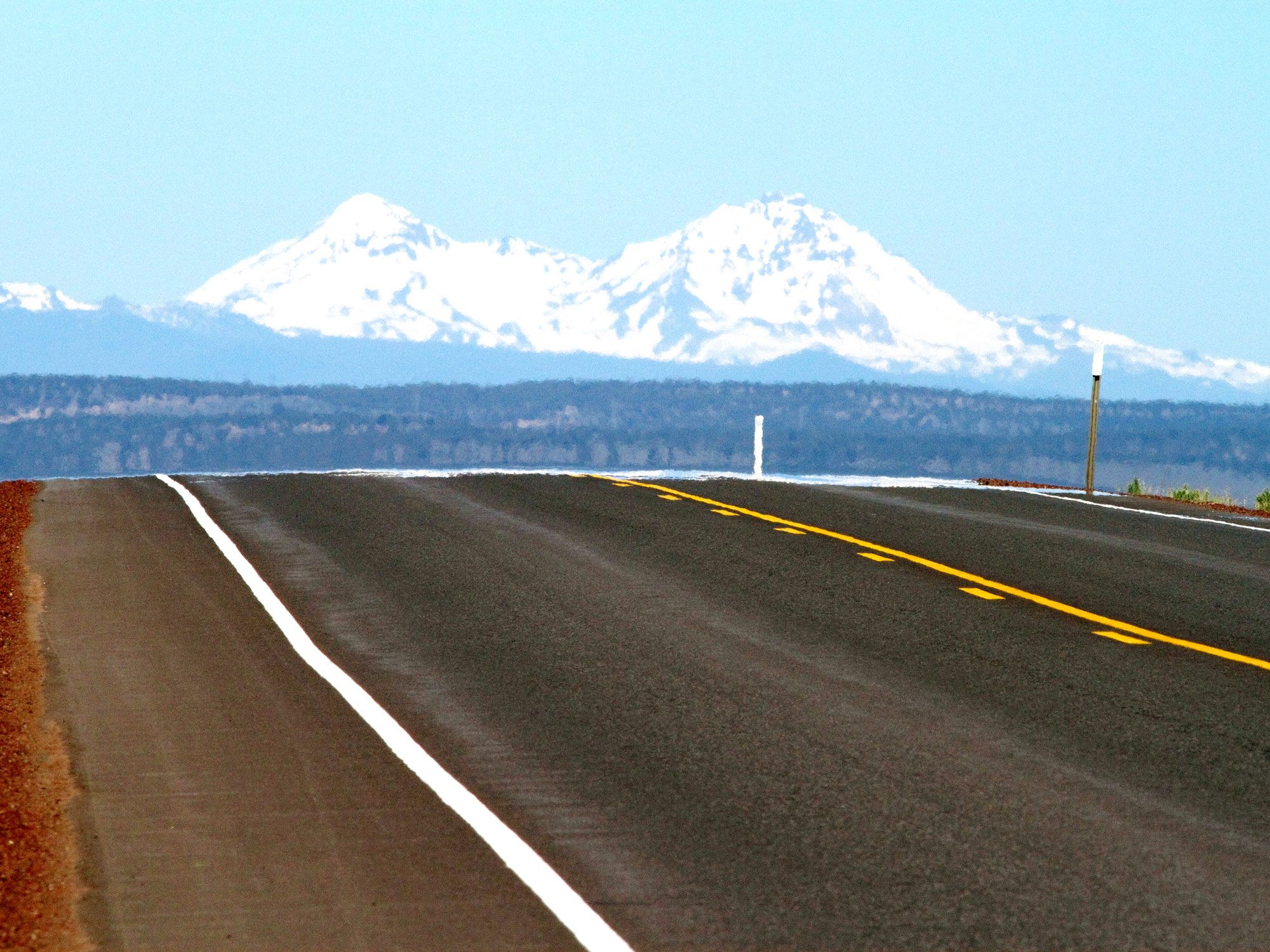
Close-up view of roadway on U.S. Route 20 with snow-capped mountains in the distance
Photo credit: David R. Frazier Photolibrary, Inc./ Alamy Stock Photo

Dating back to 1926, U.S. Route 20 is the longest road in America. Running almost parallel to Interstate 90, the route links Kenmore Square in Boston, Massachusetts, with the Pacific coast town of Newport, Oregon. The highway visits 12 states on its 3,365 mile coast-to-coast journey. Road trips along this epic highway take in several natural wonders, such as the Mississippi and Missouri rivers, Yellowstone National Park, and the wild beaches and sea stacks of Yaquina Bay State Recreational Site. For quirky roadside attractions, don’t miss Carhenge, Nebraska’s curious automobile homage to Stonehenge.

5. Golden Quadrilateral National Highway – India
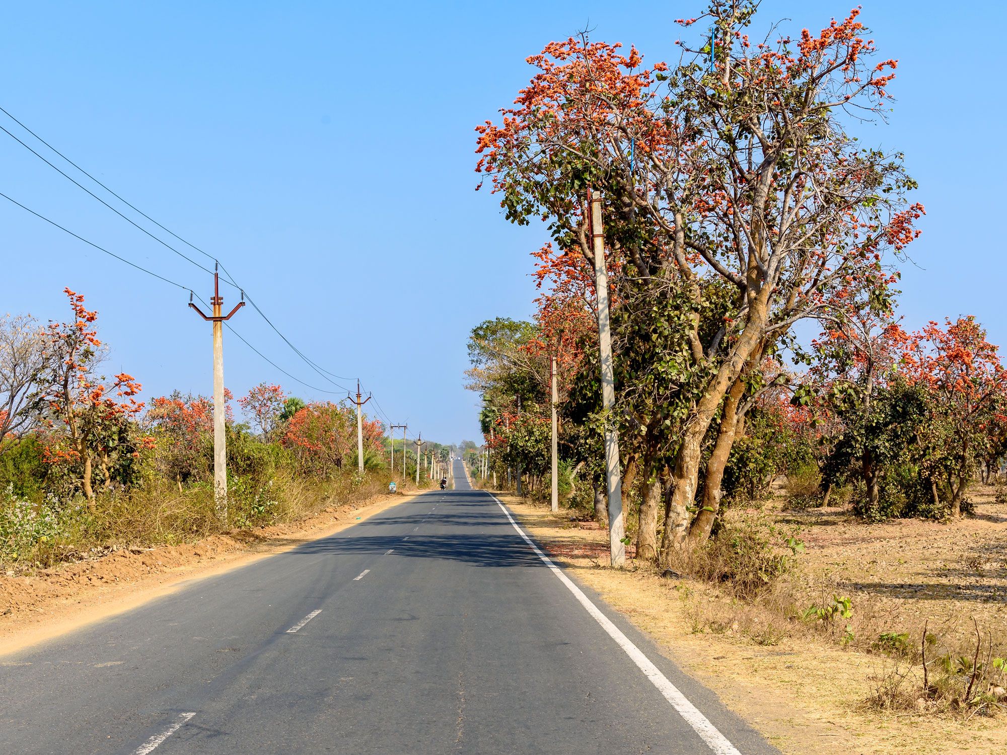
Empty two-lane stretch of India's Golden Quadrilateral National Highway
Photo credit: ABIR ROY BARMAN/ Shutterstock

Covering an impressive 3,632 miles, the Golden Quadrilateral National Highway is India’s largest and most ambitious highway project, which created a network of roads that connect the country’s four major metropolitan cities: Delhi, Chennai, Kolkata, and Mumbai. Marking a line on a map between these cities forms a loose quadrilateral, hence the highway’s name. Comprised of four main sections, the entire highway runs through 13 states of India and provides links between the country’s key agricultural, industrial, and cultural centers. Anyone embarking on an adventure along India’s longest road will encounter mystical landmarks such as the Taj Mahal, Udaipur’s Lake Pichola (featured in the James Bond movie Octopussy), and the nation’s spiritual capital, Varanasi.

4. Trans-Canada Highway
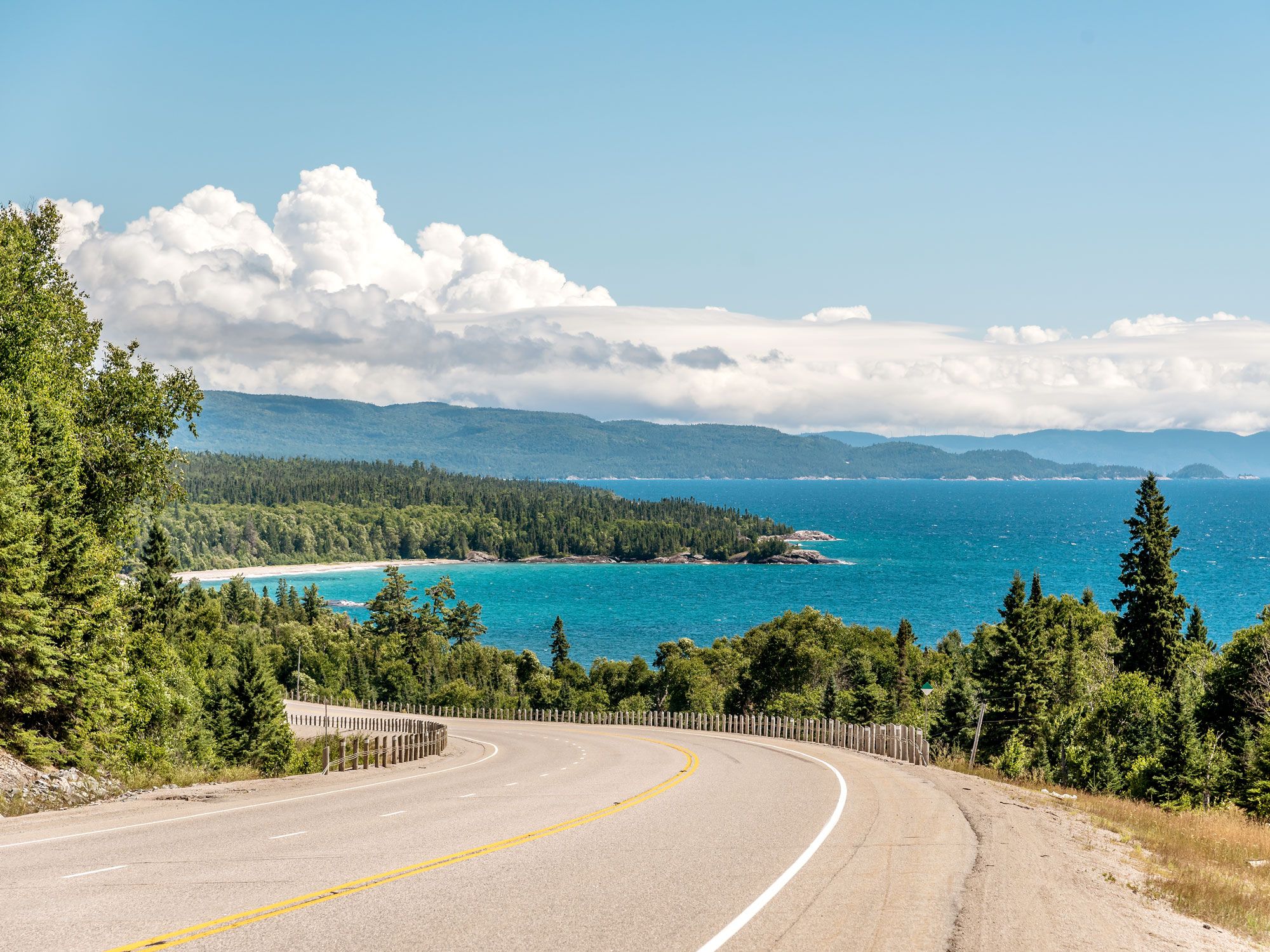
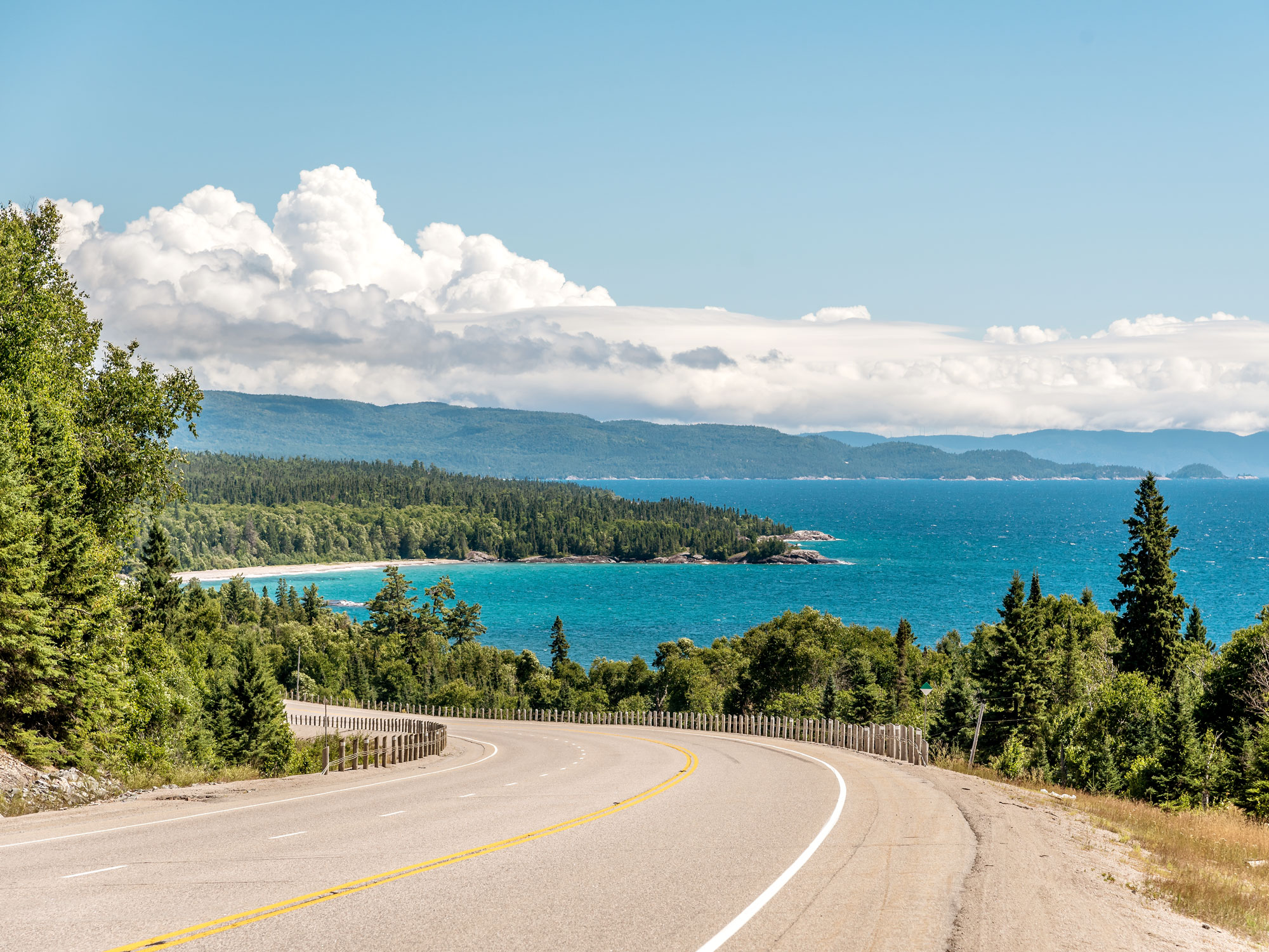
Trans-Canada Highway curving along scenic shoreline
Photo credit: pavels/ Shutterstock

Those wanting to travel coast-to-coast across Canada can do so via the 4,860-mile Trans-Canada Highway. It runs through each of Canada’s 10 provinces and crosses five different time zones. The route begins in St. John’s, Newfoundland, and ends in Victoria, British Columbia. Both are island cities, so it’s necessary to take a ferry to and from the mainland. Authorized in 1949, this epic road is marked by white-on-green maple leaf signs throughout. The Trans-Canada Highway connects the country’s major cities and also meanders around some of the nation’s most spectacular parks, including Glacier National Park, Yoho National Park, and Banff National Park.

3. Trans-Siberian Highway – Russia
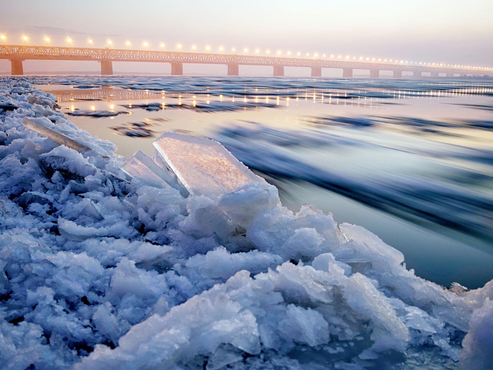
Close-up of icy shoreline and bridge along Trans-Siberian highway in the distance
Photo credit: Konstantin Baidin/ Shutterstock

The Trans-Siberian Highway is a network of highways that extends across the width of Russia. Starting in St. Petersburg, on the Baltic Sea, it spans over 6,800 miles to Vladivostok, a port city on the Sea of Japan. The route passes through stunning regions such as the Ural Mountains, the wilderness of Siberia, and Lake Baikal, which is the world’s oldest and deepest lake. It also links a number of historic cities, including Nizhny Novgorod, Kazan, and Chita. Challenges facing road trippers include hundreds-mile-long sections that are far removed from civilization and extreme climatic conditions that range from stifling heat to sub-zero temperatures.

2. Highway 1 – Australia
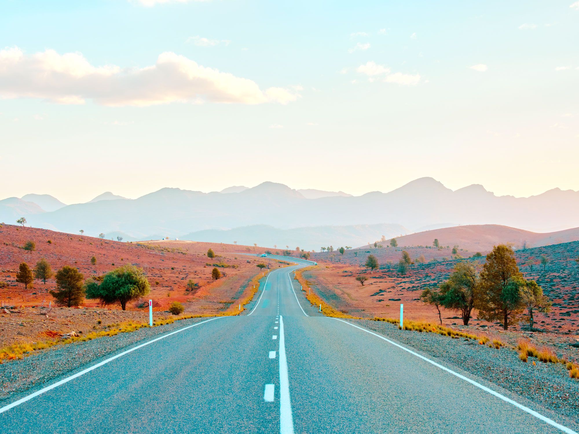
Empty two-lane stretch through mountains on Highway 1 in Australia
Photo credit: puyalroyo/ Shutterstock

Australia is the world’s sixth-largest country by area, so it’s fitting that one of the world’s longest roads travels around this massive island-continent. Highway 1, nicknamed “the Big Lap,” is a 9,010-mile-long ring road that roughly traces the nation’s coastline in one enormous loop. Established in 1955, the highway connects most major Australian cities, including Sydney, Melbourne, Adelaide, Perth, Darwin, and Brisbane. A notable exception is Canberra, the nation’s inland capital. Highlights of the route include the arid lands of the Nullarbor Plain and the 90 Mile Straight, which is the country’s longest straight road. It also provides access to the popular beach towns along Queensland’s Great Barrier Reef coastline.

1. Pan-American Highway
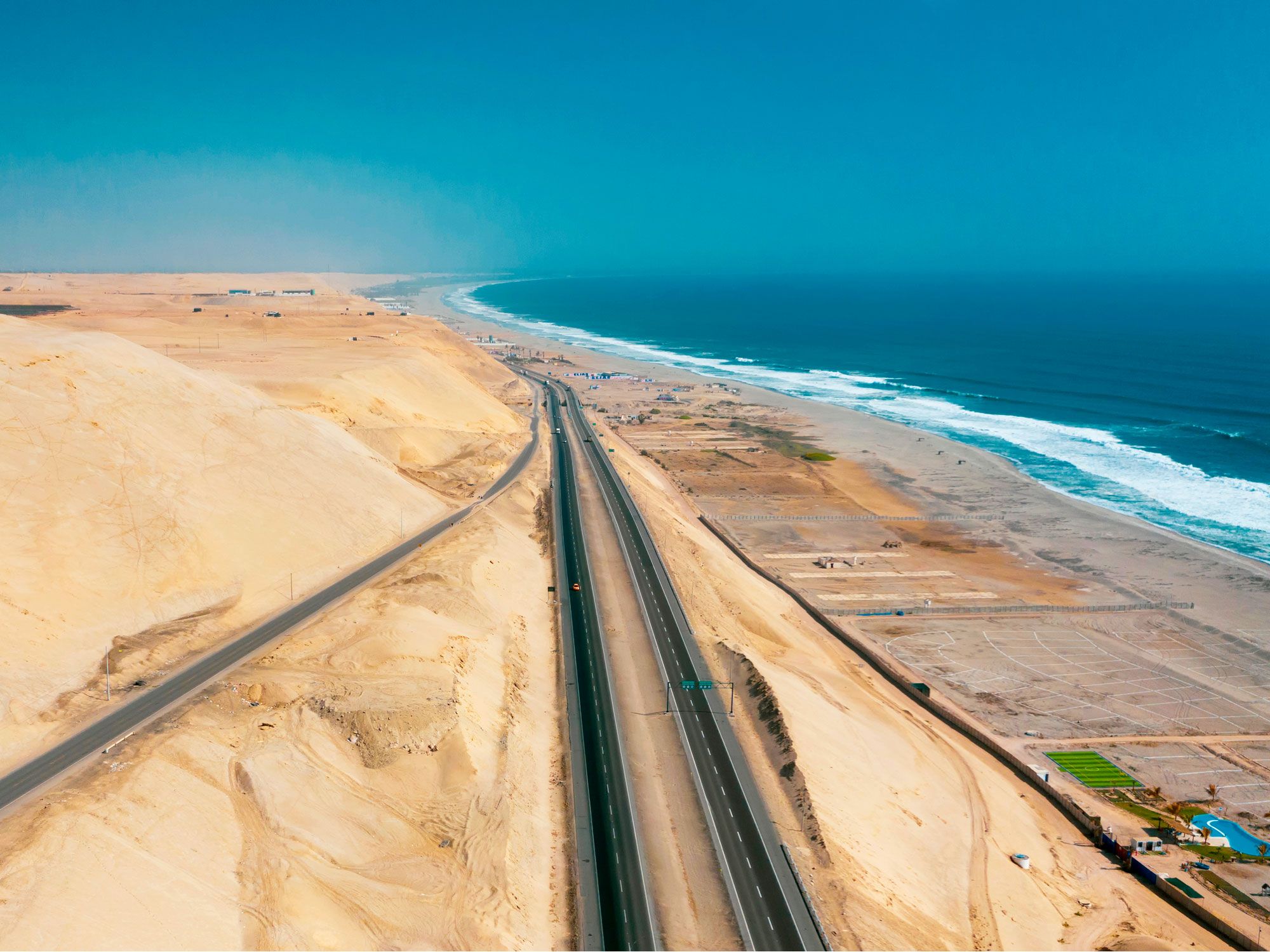
Aerial view of the Pan-American Highway along the coastline of Chile
Photo credit: rjankovsky/ Shutterstock

For the road trip to beat all road trips, there’s only one option: the cross-continental journey covering over 19,000 miles through 14 countries on the Pan-American Highway. This network of highways, generally considered the longest in the world, begins in Prudhoe Bay, Alaska, and travels all the way to the tip of South America in Ushuaia, Argentina, nicknamed “the end of the world.” The drive offers the chance to visit diverse and jaw-dropping landscapes, major cities, and dozens of small-town cultural treasures. Pan-American road trippers can discover the glaciers of Alaska and Canada’s Yukon territory, the neon lights of Las Vegas, Peru’s mysterious Nazca Lines, and the mind-blowing beauty of Patagonia. However, unless you have a taste for extreme off-roading adventure, it’s not possible to drive the entire highway: An impassable wilderness called the Darién Gap, between Panama and Colombia, briefly interrupts the route.

Post Banner Image
Geography

8 States With the Most Lakes

By Daily Passport Team
Read time: 5 minutes
August 24, 2023
Updated: September 30, 2025

8 States With the Most Lakes

By Daily Passport Team
Author
Daily Passport Team
Daily Passport writers have been seen in publications such as National Geographic, Food & Wine, CBC, Condé Nast Traveler, and Business Insider. They're passionate about uncovering unique destinations and sharing expert tips with curious travelers.

Who doesn’t love a lake? They’re the perfect place to idle the day away swimming, boating, waterskiing, or fishing. But what exactly defines a lake? Scientists and government agencies differ on which bodies of water count as big enough to be considered a lake, and some don’t include human-made reservoirs. With that caveat, here are the eight states generally considered to have the most lakes. 

8. Maine

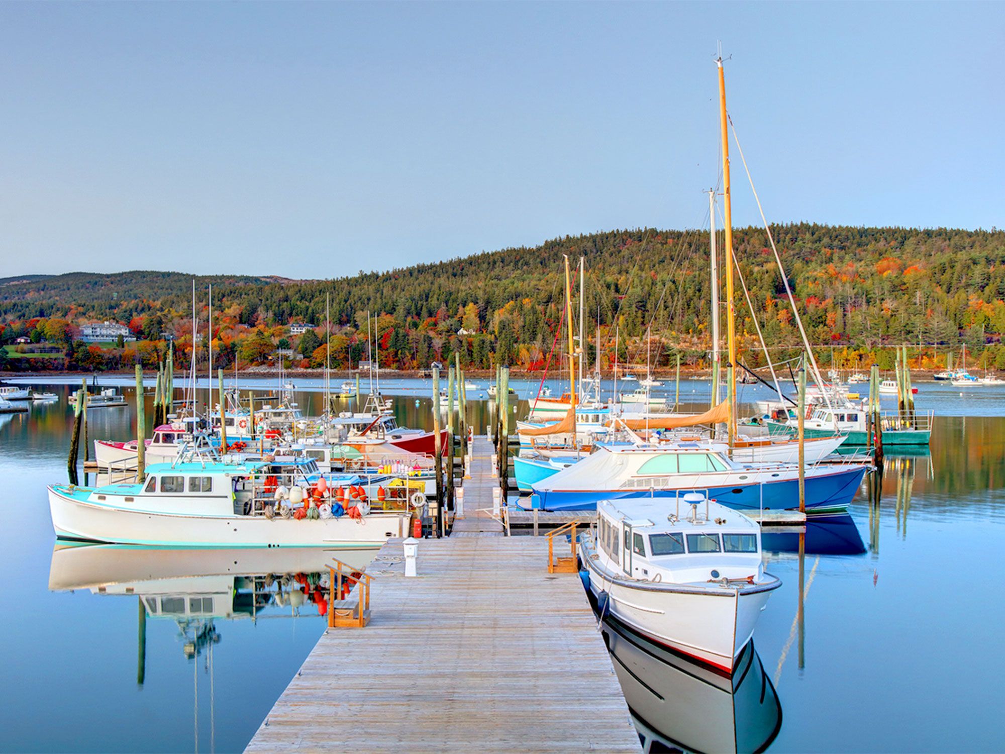
Northeast Harbor on Mount Deseret Island in Maine
Photo credit: DenisTangneyJr/ iStock

Approximate number of lakes: 6,000

There is often deliberation as to whether Maine’s plentiful water sources should be labeled as lakes or ponds. Traditionally, the distinction between the two is made in regards to the sun: If sunlight can penetrate to the bottom of all areas of an inland body of water, it is a pond. Deeper bodies of water that cannot be fully penetrated by sunlight are lakes. However, the state has decided that if the body of water is over 10 acres large, then it is legally a “great pond” — regardless of whether sunlight reaches the bottom or not. As a result, Maine officials have counted about 6,000 lakes in the state, most of which are classified as great ponds.

7. Texas

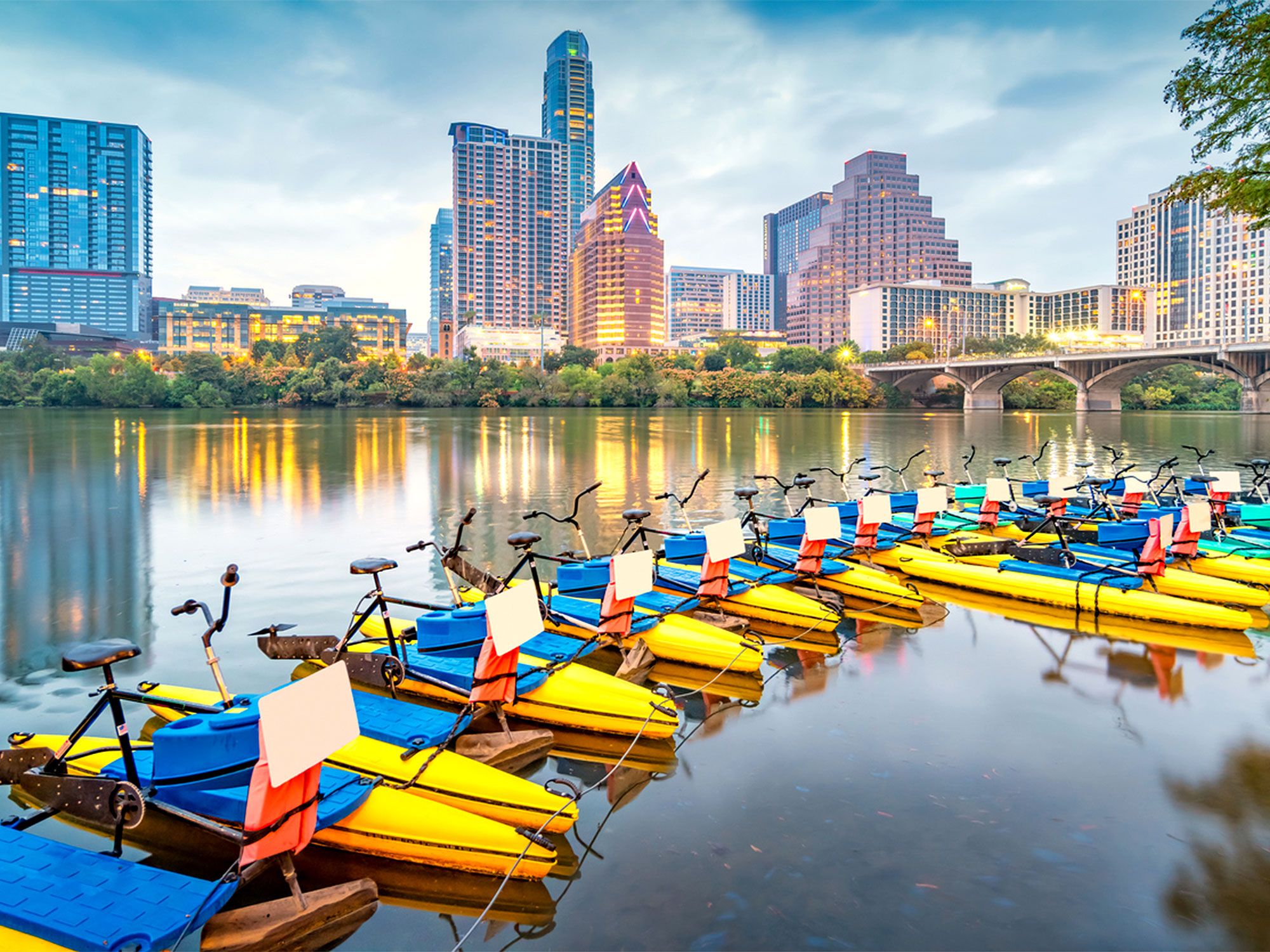
Water bicycles in lake with Austin skyline in background
Photo credit: benedek/ iStock

Approximate number of lakes: 7,000

The Lone Star State is home to roughly 7,000 lakes, though most of these are human-made. Texas is known for its large bodies of water including Grapevine Lake, Toledo Bend Reservoir, and Possum Kingdom Lake, but some may argue that these reservoirs don’t count as lakes since they’re not naturally occurring. To further complicate the matter, one lake that most people believe to be naturally occurring — Caddo Lake in East Texas — should actually be classified as a swamp. But whether it’s a lake, swamp, or reservoir, the state has its fair share of water for residents and visitors to enjoy.

6. New York

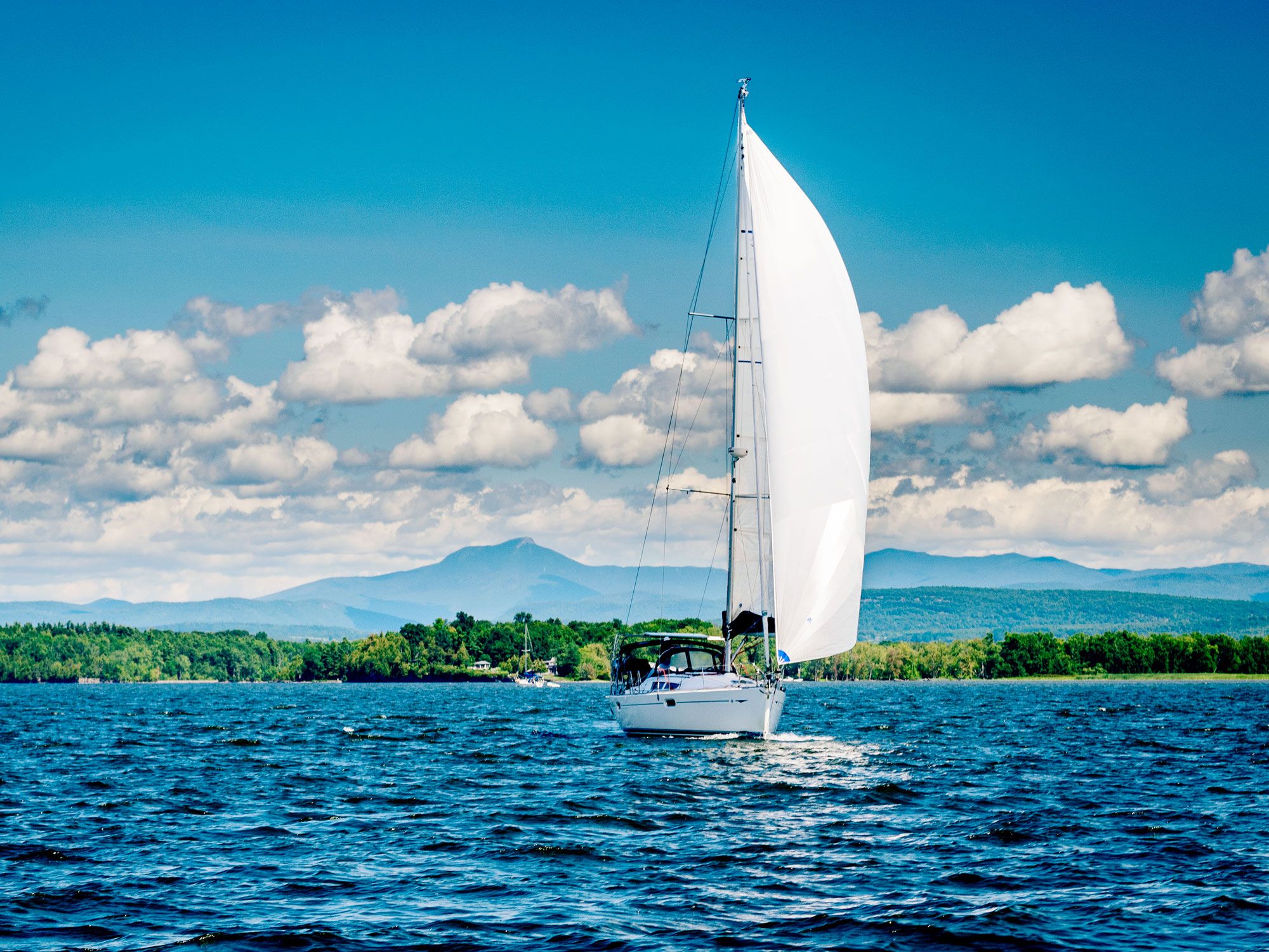
Sailboat on New York lake
Photo credit: Meg M/ Shutterstock

Approximate number of lakes: 7,600

The Empire State has more than 7,600 freshwater lakes, ponds, and reservoirs, according to state officials. Notably, it shares Lake Champlain, one of the country’s largest lakes at nearly 500 square miles, with neighboring Vermont. New York is also home to the Finger Lakes, a region known for its narrow lakes, rolling hills, and abundance of wineries. One of the most popular lakes to visit in the region is Lake George, nicknamed “Queen of American Lakes” for its beauty and crystal-clear water. New York also provides access to not one, but two, Great Lakes, with 570 miles of shoreline along Lake Erie and Lake Ontario.

5. Michigan

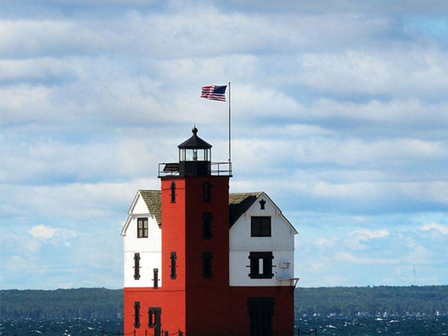
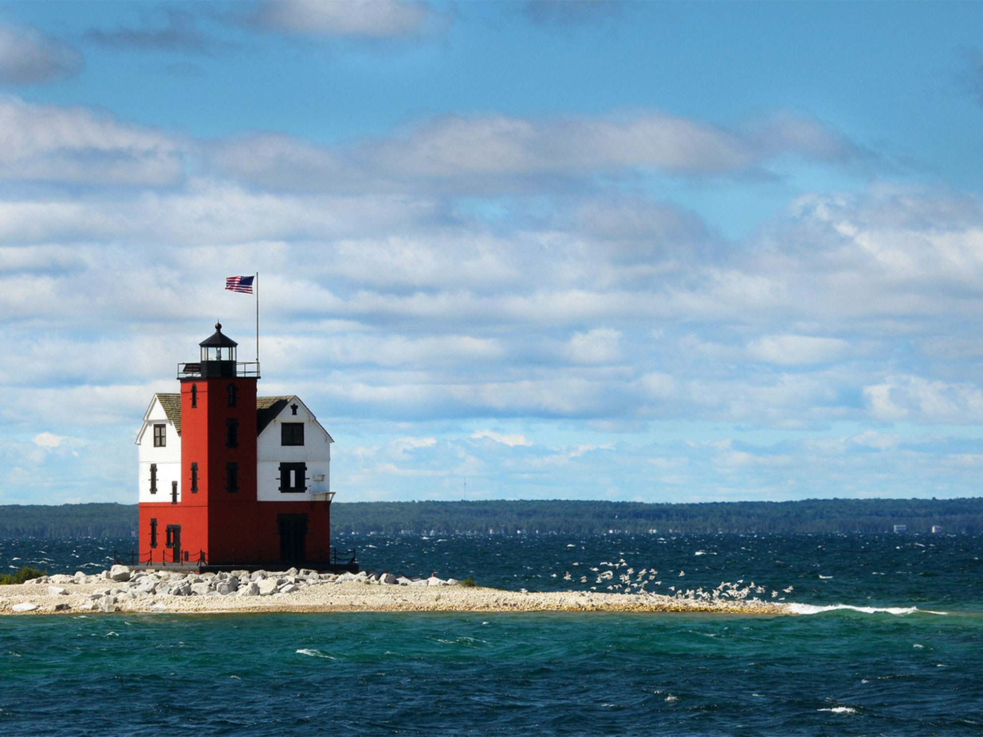
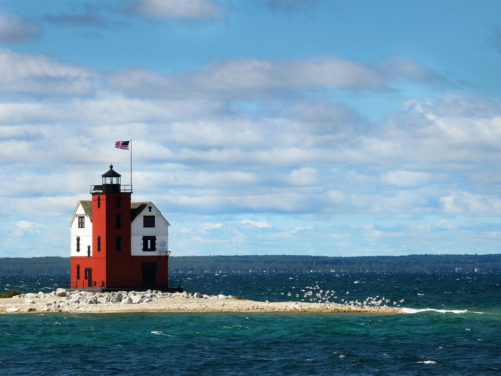
Lighthouse on the Great Lakes in Michigan
Photo credit: huronphoto/ iStock

Approximate number of lakes: 11,000

It’s not called the Great Lake State for nothing: Michigan is bordered by four Great Lakes (Michigan, Superior, Huron, and Erie). As a result, the state is home to 2,963 miles of shoreline along the Great Lakes, but these are technically classified as coastal waters according to the Coast Guard. According to the Michigan Department of Natural Resources, the state has over 11,000 inland lakes, 2,700 of which are mapped out by the government. This number includes lakes larger than five acres — when you include lakes less than an acre, the total count jumps to over 60,000.

4. Minnesota

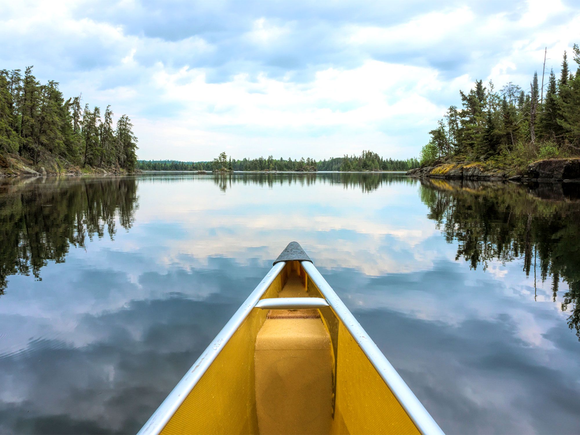
Canoe in Minnesota lake
Photo credit: hauged/ iStock

Approximate number of lakes: 14,380

It’s no surprise that the state known as the “Land of 10,000 Lakes” makes an appearance on this list. In fact, Minnesota is home to so many bodies of water that it’s difficult to get an official count, with various agencies reporting different numbers. The Department of Natural Resources claims there are 11,842 lakes in total. The real number could be somewhere in between: The University of Minnesota Duluth claims the state has 14,380 lakes — if you count the lakes that cross into Canada and do not include lakes under 10 acres.

Related: Does Minnesota Really Have 10,000 Lakes?

3. Wisconsin

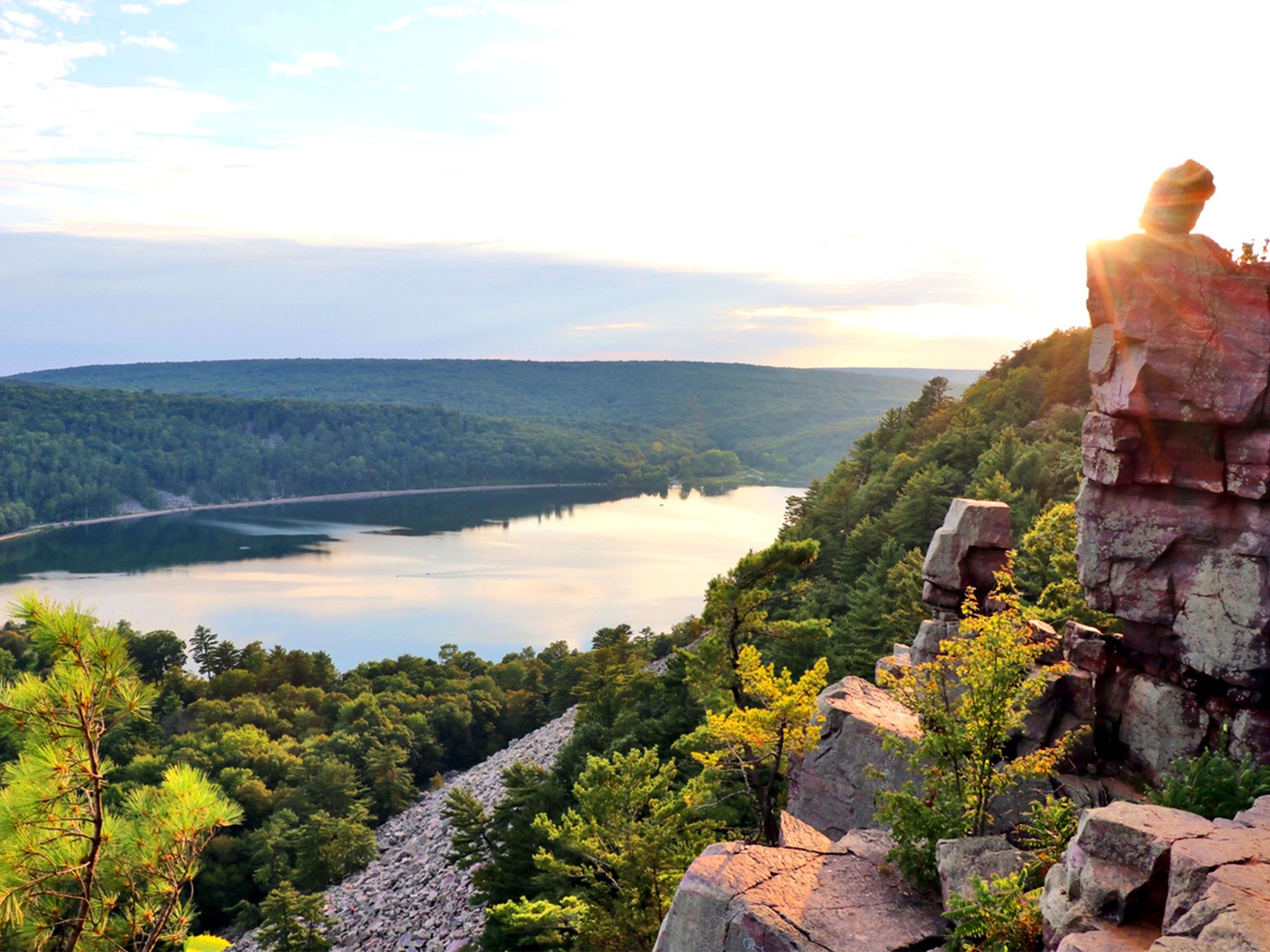
Rocky point overlooking Wisconsin lake at sunset
Photo credit: UWMadison/ iStock

Approximate number of lakes: 15,000

It’s a hotly debated topic as to which state has more natural lakes: Wisconsin or Minnesota. This is due to the fact that state agencies maintain different criteria as to what defines a lake. The Wisconsin Department of Natural Resources claims that the state has 15,000 lakes, which is well over Minnesota’s official number. However, Wisconsin’s record-keeping includes lakes under 10 acres. And of these 15,000 lakes, over half of them are unnamed. When you apply the Minnesota standards to the Wisconsin map, only 5,898 bodies of water are officially lakes, which means Wisconsin has far fewer lakes than its western neighbor.

2. Florida

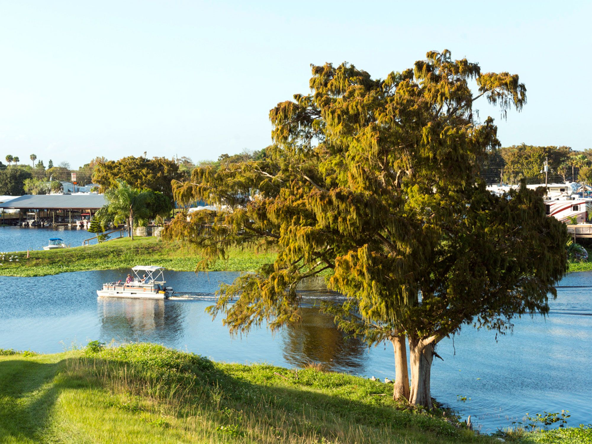
Pontoon boats on Lake Okeechobee in Florida
Photo credit: Boogich/ iStock

Approximate number of lakes: 30,000

Florida is filled to the gills with lakes: The Sunshine State is home to more than 30,000 lakes, covering 3 million acres of land. While some of these lakes are naturally occurring — including the 448,000-acre Lake Okeechobee, the state’s largest — many of them are human-made. These human-made lakes are often a result of building infrastructure, particularly in residential areas to assist in flood control. It’s also worth noting that many of Florida’s lakes are home to alligators and snakes, so it’s always best to pay attention to your surroundings while swimming.

1. Alaska

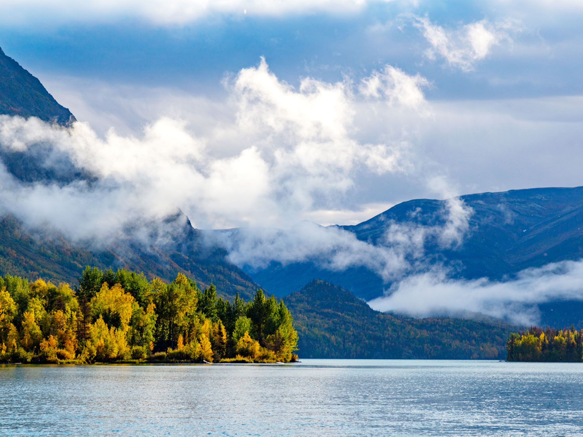
Lake in Alaska partially obscured by clouds
Photo credit: christiannafzger/ iStock

Approximate number of lakes: 3 million

Nicknamed the “Last Frontier,” Alaska is defined by its wilderness, with mountains, rivers, and lakes taking up much of its picturesque landscape. The state is home to 3,197 officially named natural lakes, including well-known lakes such as Lake Clark, Kenai Lake, and Mendenhall Lake. If this wasn’t already an impressive number, Alaska contains an estimated 3 million unnamed lakes that are greater than five acres, many of which are difficult to access on foot. When these lakes are combined with the state’s 12,000 rivers, Alaska accounts for nearly half of the nation’s surface water.

Related: 7 of the Most Unusual Lakes Around the World
Post Banner Image
Geography

8 Fascinating Facts About Equatorial Countries

By Bennett Kleinman
Read time: 6 minutes
August 24, 2023
Updated: August 31, 2023

8 Fascinating Facts About Equatorial Countries

By Bennett Kleinman
Author
Bennett Kleinman
Bennett is a New York City-based staff writer for Daily Passport. He previously contributed to television programs such as the Late Show With David Letterman, as well as digital publications like the Onion. Bennett has traveled to 48 U.S. states and all 30 Major League Baseball stadiums.

The equator is an imaginary line at zero degrees latitude that wraps around the center of Earth, dividing the planet into Northern and Southern Hemispheres. There are 13 countries located along this 24,901-mile-long boundary — seven in Africa, three in Asia, and three in South America. All of these countries are known for their similar climates, experiencing year-round hot and humid weather with little seasonal variation. Despite similar weather, each of these nations has its own unique history, geography, and culture. Here are eight fascinating facts you might not know about countries along the equator.

Kiribati Is the First Country to Celebrate the New Year

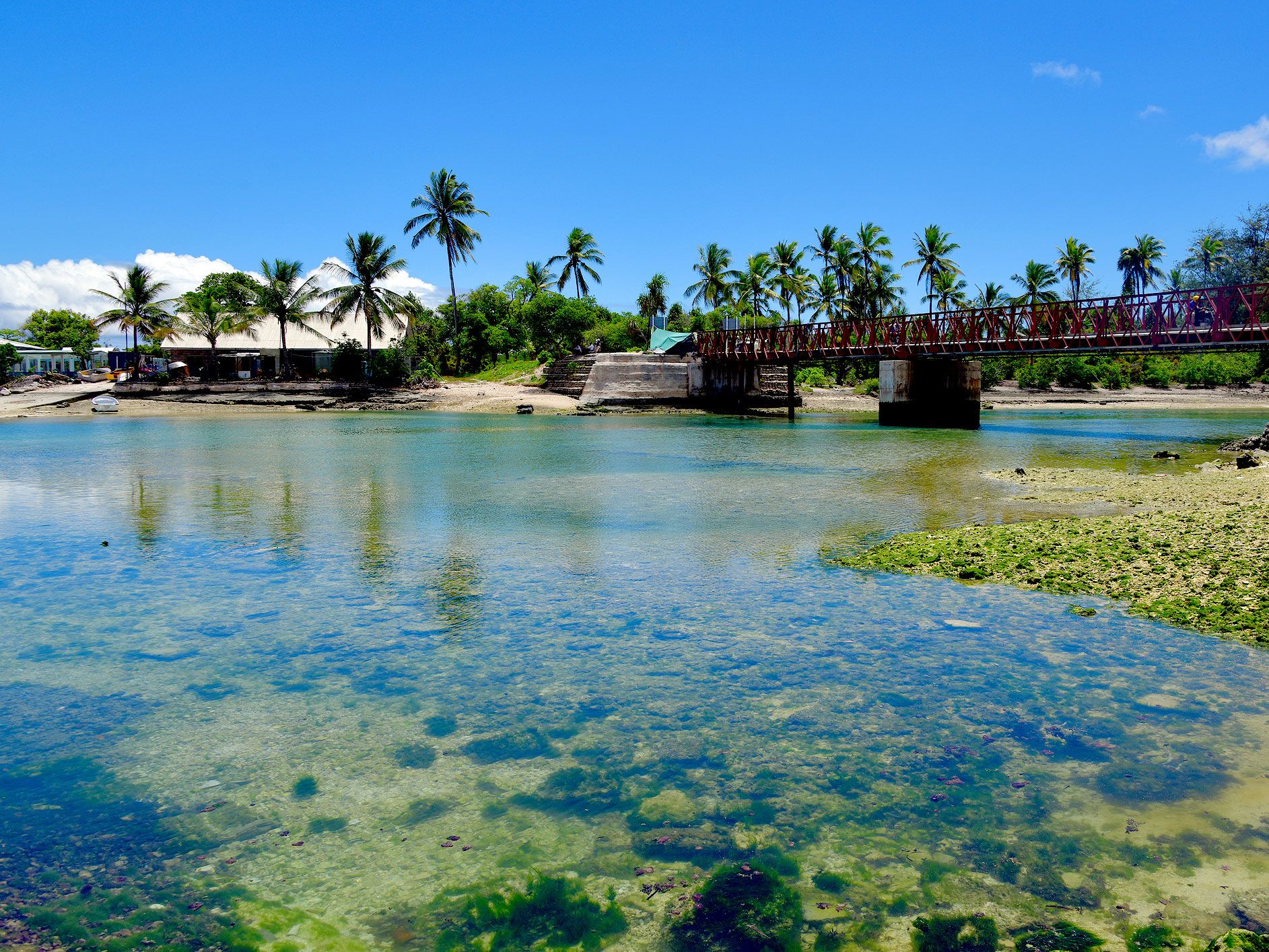
Transcluent waters off Kiribati
Photo credit: mtcurado/ iStock

Kiribati, an archipelagic nation on the equator, consists of 33 islands spanning over 1,800 miles across the central Pacific Ocean. Even with this vast breadth, Kiribati’s total land area measures only 313 square miles. Kiribati’s eastern territory includes eight of the Line Islands, an archipelago through which the International Date Line runs. Thanks to this, the island of Kiritimati is the first region anywhere in the world to ring in the New Year. 

While parts of Kiribati are located in the Western Hemisphere, Kiritimati is actually located in the Eastern Hemisphere, meaning the country is the only nation in the world with land in all four hemispheres. Despite this, the entirety of Kiribati lies within the world’s earliest time zones due to a quirk with the International Date Line, which circumvents the Line Islands and swings around to the east. This places Kiritimati within the UTC +14 time zone. After Kiribati celebrates, Tonga, Samoa, and parts of New Zealand ring in the New Year one hour later.

Indonesia Is Home to the World’s Biggest Flower

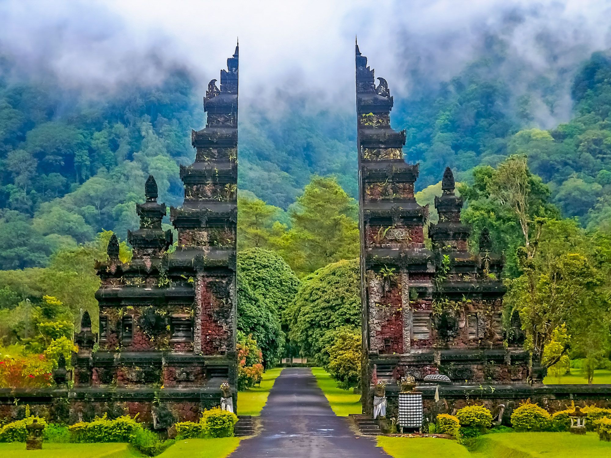
Temple gate surrounded by forested mountains in Indonesia
Photo credit: pawopa3336/ iStock

Indonesia has three national flowers: the Phalaenopsis amabilis (moon orchid), Jasminum sambac (jasmine), and Rafflesia arnoldii. This latter flower is ominously known as the corpse flower due to the pungent odor it emits, which some compare to rotten meat. However, its size is what makes this flower truly special, as it reaches average lengths of three feet across and weighs up to 15 pounds. 

With no visible leaves, roots, or stems, this bright red flower obtains nutrients via a parasitic relationship with other plants. Rafflesia arnoldii is found — albeit rarely — in the rainforests of Sumatra and Borneo. In 2020, a record-setting version of this large flower was discovered in a West Sumatran forest, possessing a diameter four inches wider than the previous record holder.

The Maldives Is the World’s Flattest Country

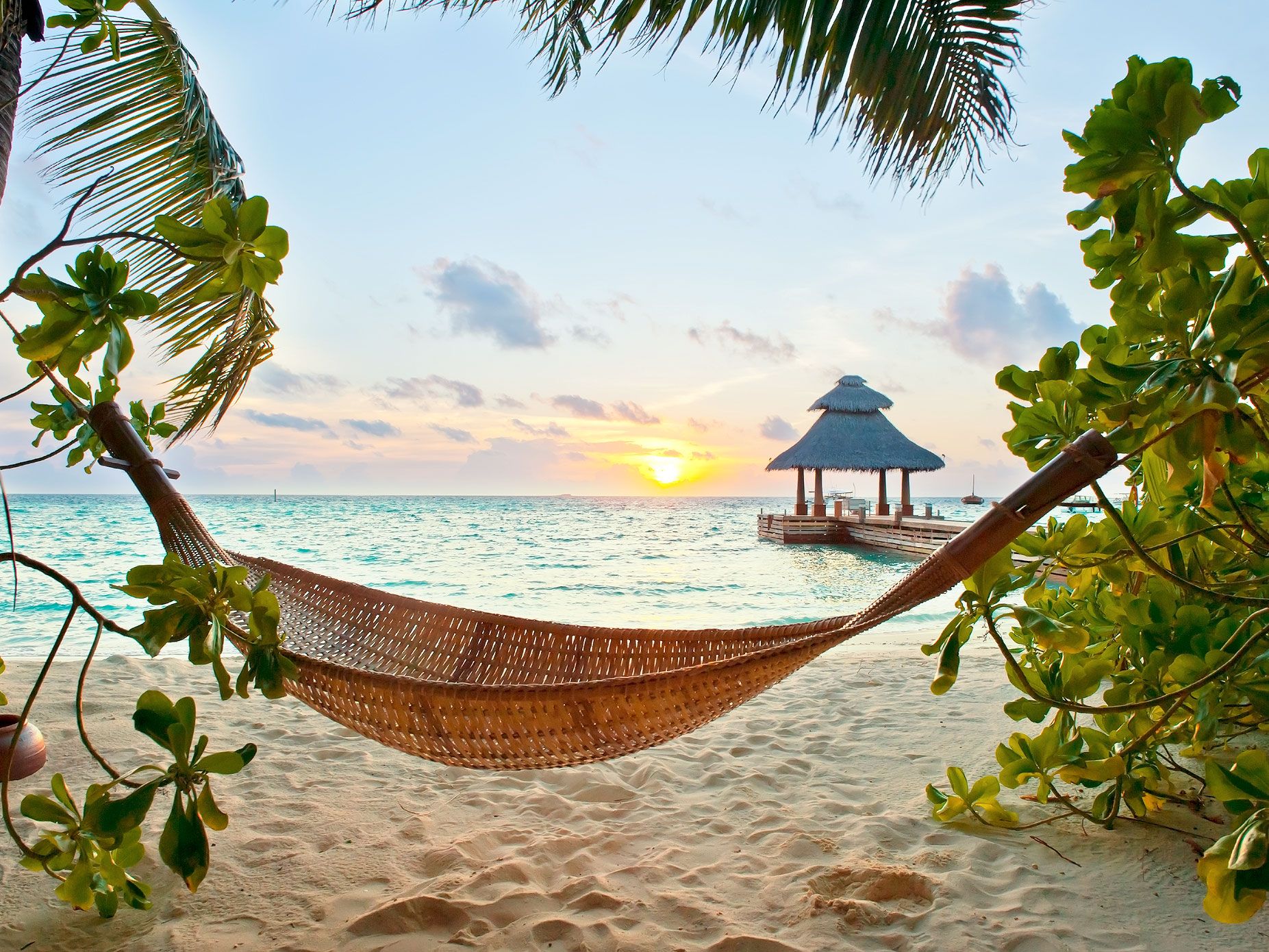
Hammock on beach in the Maldives at sunset
Photo credit: Fyletto/ iStock

Located in the central Indian Ocean, the Republic of Maldives is the world’s flattest country, according to Guinness World Records. On average, the island nation’s coral beaches rise a mere four feet above sea level. The country’s highest natural point — an unmarked spot on Addu Atoll, the southernmost atoll of the Maldives — reaches only eight feet above sea level. On Seenu Atoll, one point reaches heights of 16 feet above sea level, though it’s human-made: the eighth hole of the Villingili Resort’s golf course.

The Maldives is made up of around 1,200 tiny islands, of which only around 200 are inhabited. These land masses extend 510 miles from north to south and 80 miles from east to west. Given its flatness, the Maldives is at risk of being largely submerged in the near future, as ocean levels are predicted to rise up to five feet by 2100.

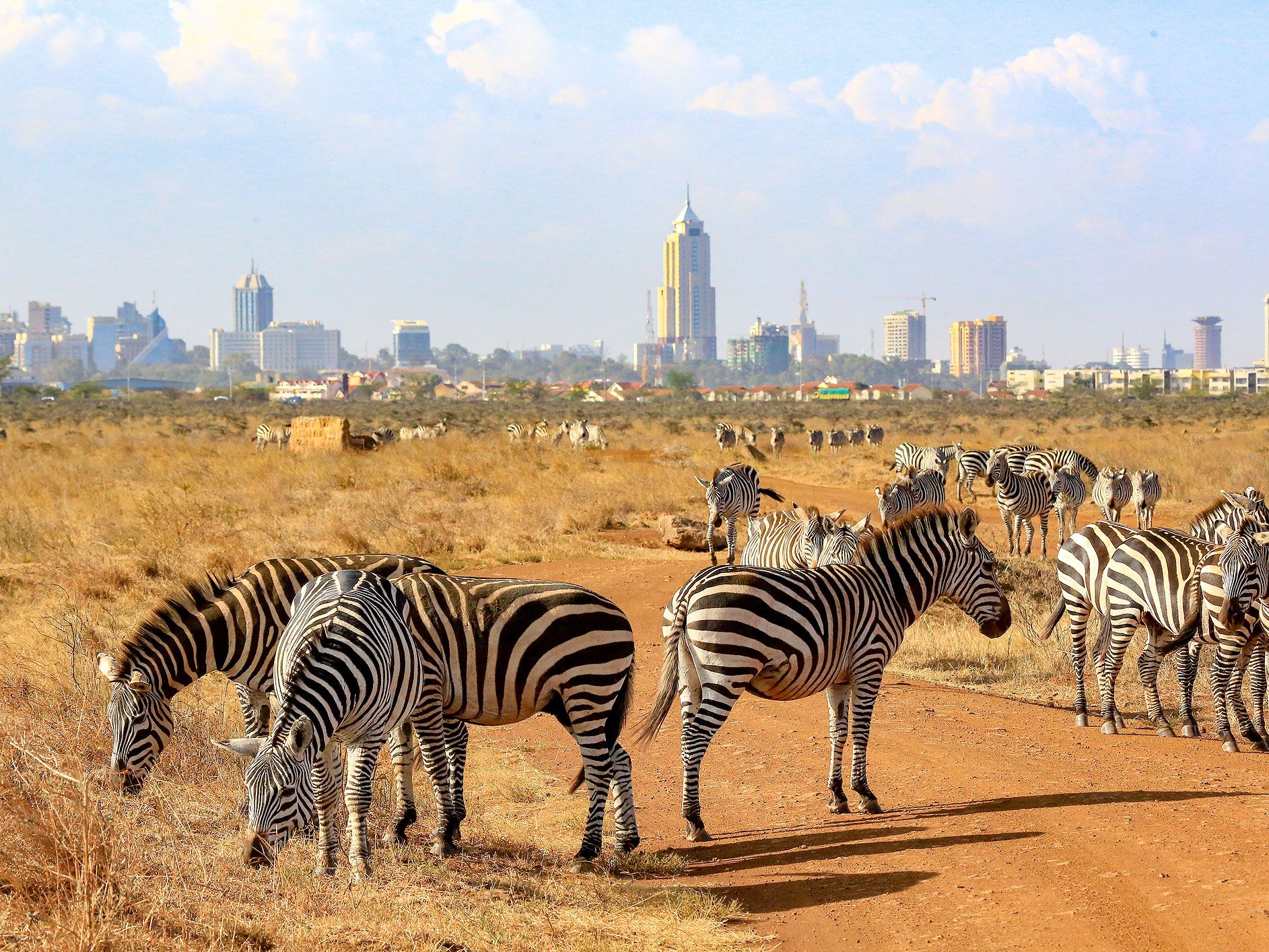
Kenya Contains Over 60 National Parks and Reserves

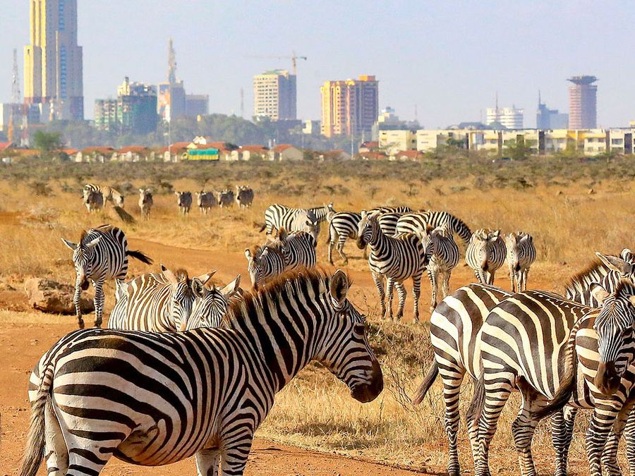
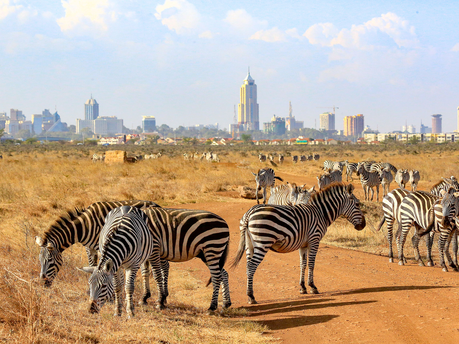
Zebras roaming in Kenya national park with city buildings in the distance
Photo credit: chingting huang/ iStock

The East African nation of Kenya established Nairobi National Park in 1946 as the country’s first protected refuge. The park covers 45.26 square miles, making it one of the smaller national parks in Kenya today, but it helped pave the way for a widespread conservation effort in the decades to come. As of 2023, the Kenya Wildlife Service manages more than 60 national parks, national reserves, and marine national parks and reserves — representing about 8% of Kenya’s landmass.

Among the many highlights of Kenya’s national park system are the 1.5 million wildebeest living in the Masai Mara reserve; the world’s last surviving northern white rhinos residing in the Ol Pejeta Conservancy; the fascinating geothermal activity at Hells Gate National Park; and the world’s largest lava flow (at over 180 miles in length), located on the Yatta Plateau in Tsavo East National Park. Then there’s Mount Kenya National Park, which contains the second-tallest mountain in Africa behind Kilimanjaro. This impressive crag reaches heights of 17,057 feet above the Kenyan landscape below.

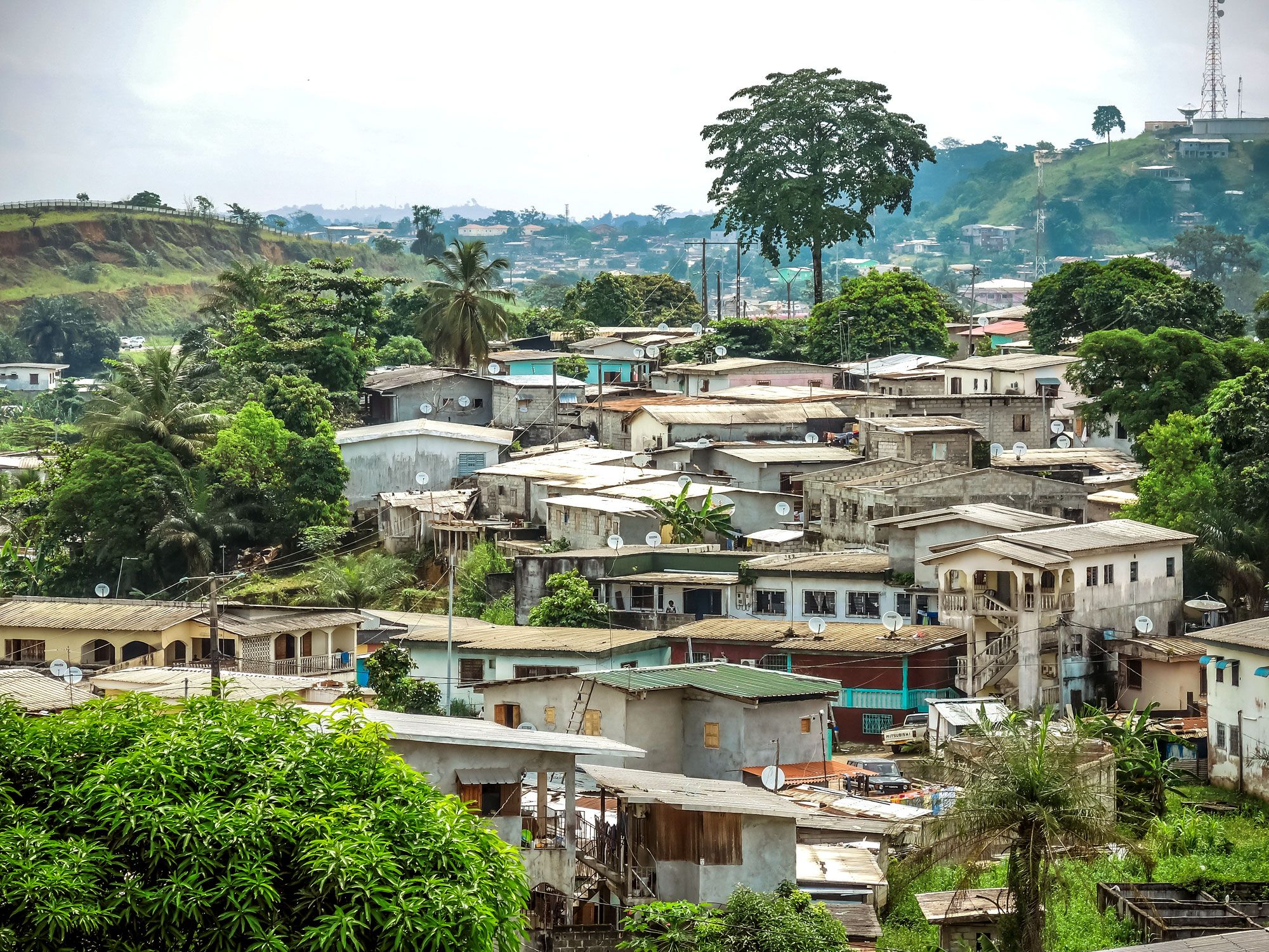
Gabon Is Home to the World’s Only Known Natural Nuclear Reactor

Homes in city in Gabon
Photo credit: cribea/ iStock

In 1972, scientists extracted chunks of radioactive uranium ore from a mine in Gabon, an equatorial country located along the Atlantic Coast of central Africa. After further research, scientists discovered that the uranium mines at the site, known as Oklo, contained 16 natural nuclear reactors that first developed around 2 billion years ago (a 17th reactor was later discovered in Bangombé, located 18 miles southeast of Oklo). 

These geological features are unlike anywhere else on the planet. For eons, these sites produced radioactive ore thanks to a natural nuclear fission process that was moderated by water levels and boiling heat. Unfortunately, the reactors in Oklo were destroyed over time due to excessive mining, and to this day, scientists have yet to discover any natural reactors akin to the ones in Gabon.

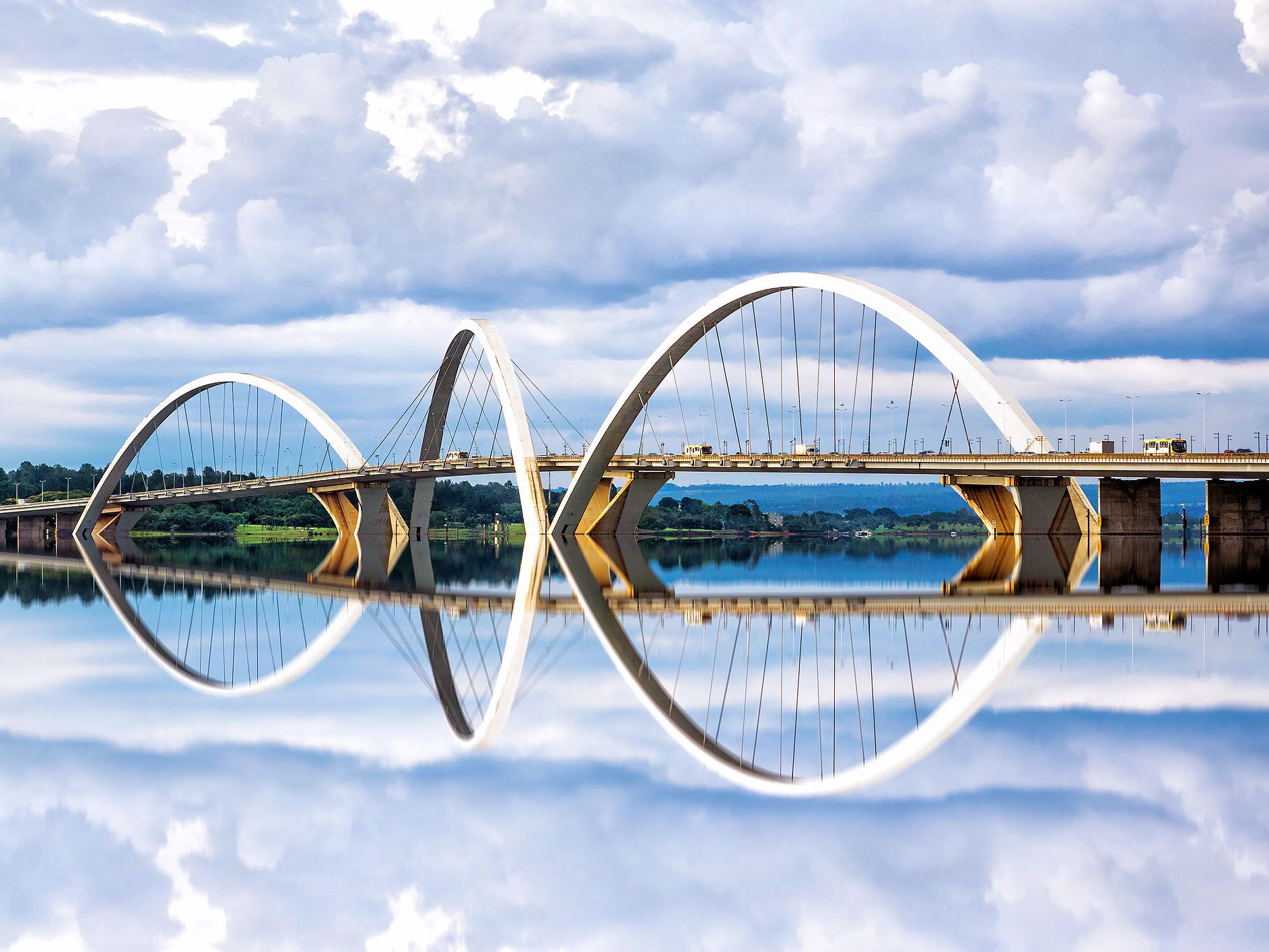
Brazil’s Capital City Resembles an Airplane When Viewed From Above

Bridge reflecting onto water in Brasilia, Brazil
Photo credit: R.M. Nunes/ iStock

Brazil relocated its capital from Rio de Janeiro to the newly planned city of Brasília, with a more central location, in 1960. Lúcio Costa — an urban architect who taught geometry and drawing from 1938 to 1954 — won a public competition in 1957 to design the proposed new capital. Costa shunned traditional grid patterns and chose an irregular cross layout The end result, when viewed from above, looks like an airplane, a bird, or even a dragonfly, depending on who you ask.

Costa’s unusual plans called for government buildings in the area where a plane’s fuselage is traditionally located, with local bureaucrats making their residential homes in the “wings” of the city. Though he designed the city for 500,000 people, it’s since expanded to house about 2.5 million residents.

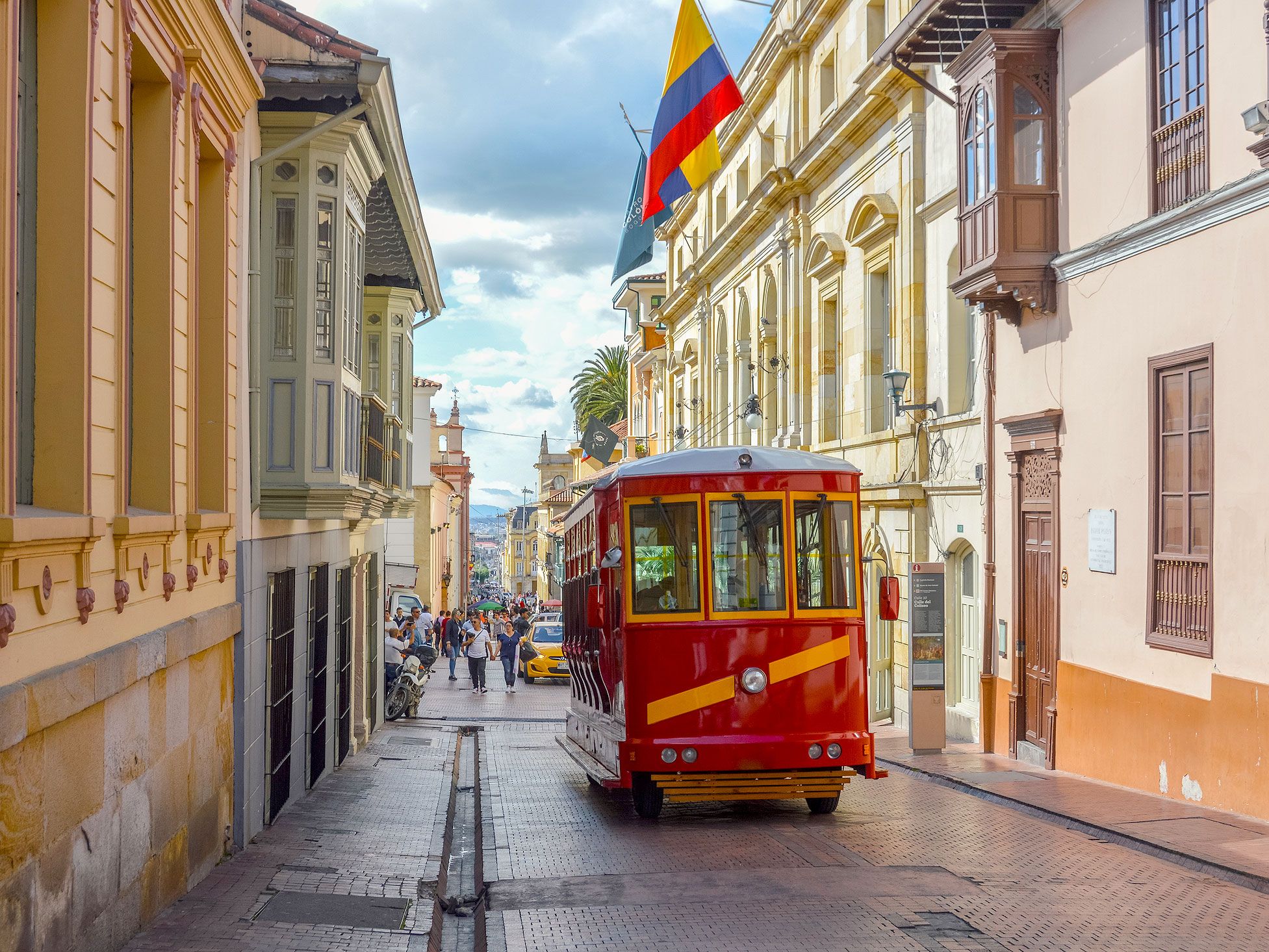
Colombia Has More Bird Species Than Any Other Country

Streetcar on streets of Colombia city
Photo credit: Starcevic/ iStock

Colombia is the second-most biodiverse country in the world, after Brazil. When it comes to birds, however, Colombia tops the list with 1,878 bird species. That number puts Colombia ahead of Peru’s 1,858 bird species, and is large enough to account for 20% of the world’s total bird species. 

Common bird varieties in Colombia include sparrows and finches that are also found in more northern climates. The country is also home to several rare endemic species. One such endangered bird is the blue-billed curassow, which maintains a small population residing in the tropical lowland forests. Another rare Colombian bird is the Cauca guan, which is at risk due to years of hunting and deforestation.

Ecuador’s Official Currency Is the U.S. Dollar

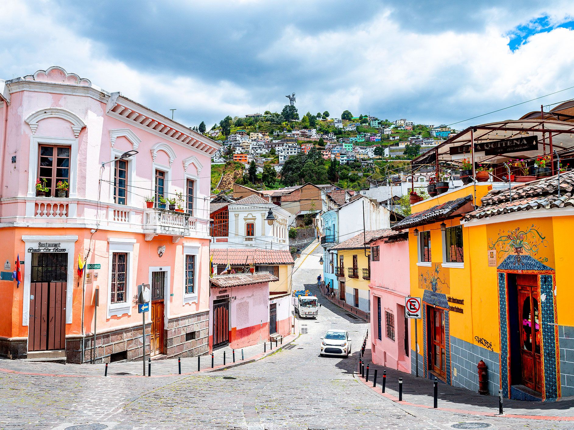
Colorful buildings in Quito, Ecuador
Photo credit: jon chica parada/ iStock

For over a century, the Ecuadorian sucre served as the official currency of Ecuador. However, on September 9, 2000, the South American country officially changed its currency to the U.S. dollar. At the time, financial crises rendered the sucre virtually worthless, and inflation became so problematic that one U.S. dollar was equivalent to 25,000 sucres. This led President Jamil Mahuad Witt to call for a switch of the country’s official currency to the U.S. dollar.

Mahuad’s decision proved unpopular, and he was overthrown by a coup d’etat shortly thereafter. Despite the country’s opposition to the decision, Mahuad’s successor, President Gustavo Noboa Bejerano, followed through on the initiative and officially adopted the U.S. dollar as Ecuador’s national currency. Ecuador remains one of the eight countries around the world to use the U.S. dollar as official tender.
Post Banner Image
History

See How These 6 Iconic Tourist Sites Have Changed Over the Years

By Bradley O'Neill
Read time: 5 minutes
August 23, 2023
Updated: August 23, 2023

See How These 6 Iconic Tourist Sites Have Changed Over the Years

By Bradley O'Neill

The modern idea of tourism originated in the 17th century, when wealthy Europeans embarked on “the Grand Tour” around France, Germany, Italy, and Greece. Some of the historical sites, monuments, and cultural attractions they visited possibly look much the same today as they did back then. Far more likely is that — whether through neglect, historical shifts, or renovations — many of those tourist sites bear little resemblance to their original appearance. Take a look back at six such iconic tourist sites around the world that have changed notably over the years. 

Hagia Sophia – Istanbul, Turkey

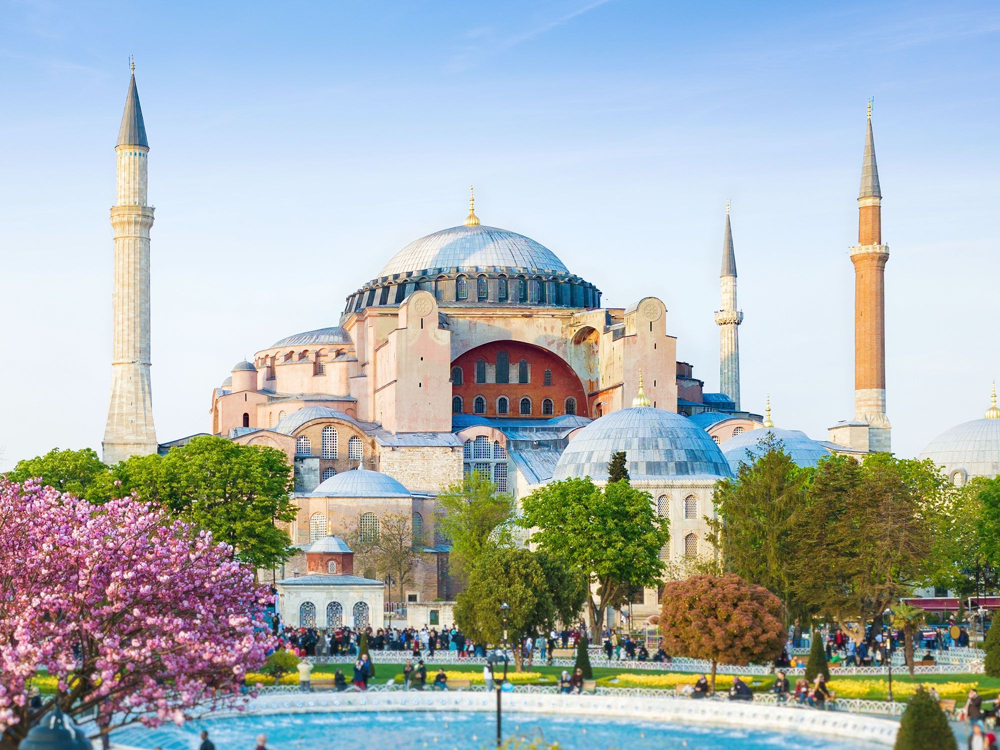
Image of the Hagia Sophia in Istanbul, Turkey
Photo credit: IgorZh/ Shutterstock

Few major monuments around the world have as storied a history as Istanbul’s Hagia Sophia. A celebration of the city’s diverse cultural influences, this iconic site dates back over 1,500 years. Built in 537 CE on the site of an earlier church, Hagia Sophia served as a Byzantine church for almost an entire millennium. After the Ottoman conquest of Constantinople in 1453, the opulent building was converted into a mosque. Four minarets, a mihrab, and Islamic calligraphy were added to the existing structure. 

Life at this sacred landmark changed again in 1935, when the Turkish government converted it into a museum. It was then reverted back to a mosque in 2020. Today, outside of prayer hours, visitors can glimpse inside this UNESCO-listed monument and admire its unique blend of Byzantine and Ottoman, Christian, and Islamic designs.

Gamla Stan – Stockholm, Sweden

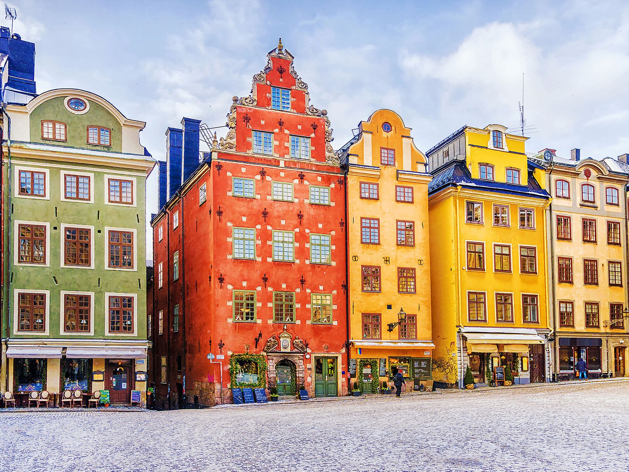
Colorful row buildings in Stockholm's Old Town
Photo credit: dimbar76/ Shutterstock

Occupying the island of Stadshomen and three islets, Gamla Stan is the historic and medieval old town of Stockholm. This district of maze-like, cobblestone alleyways is where the city was founded in the 13th century. The area is notable for its rust-colored townhouses, the majority of which were built in the 17th and 18th centuries. 

But despite the original grandeur of the area, from the mid-19th to 20th centuries, Gamla Stan was thought of as an undesirable and inhospitable place to live. Historic buildings were left to decay, and a number of blocks were destroyed for the enlargement of the Riksdagshuset parliament house. In the 1980s, a cleanup and government preservation turned it into an elegant and vibrant district home to around 3,000 residents. The Nobel Museum, Kungliga Slottet royal palace, and Västerlånggatan shopping street are a few of today’s highlights in Gamla Stan.

Copacabana Beach – Rio de Janeiro, Brazil

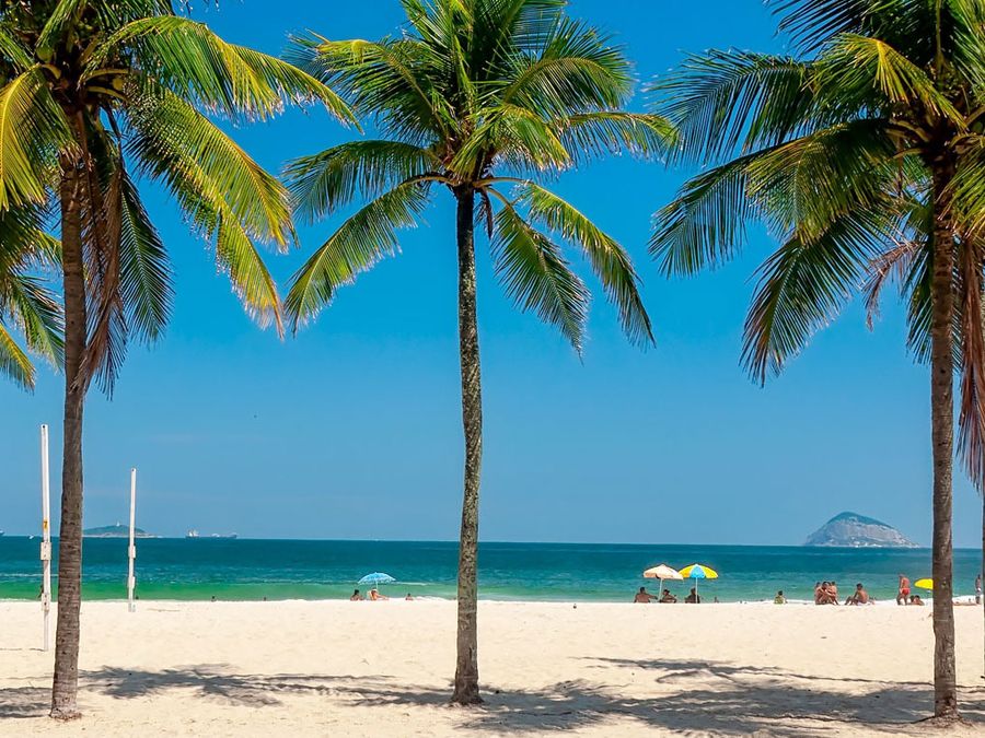
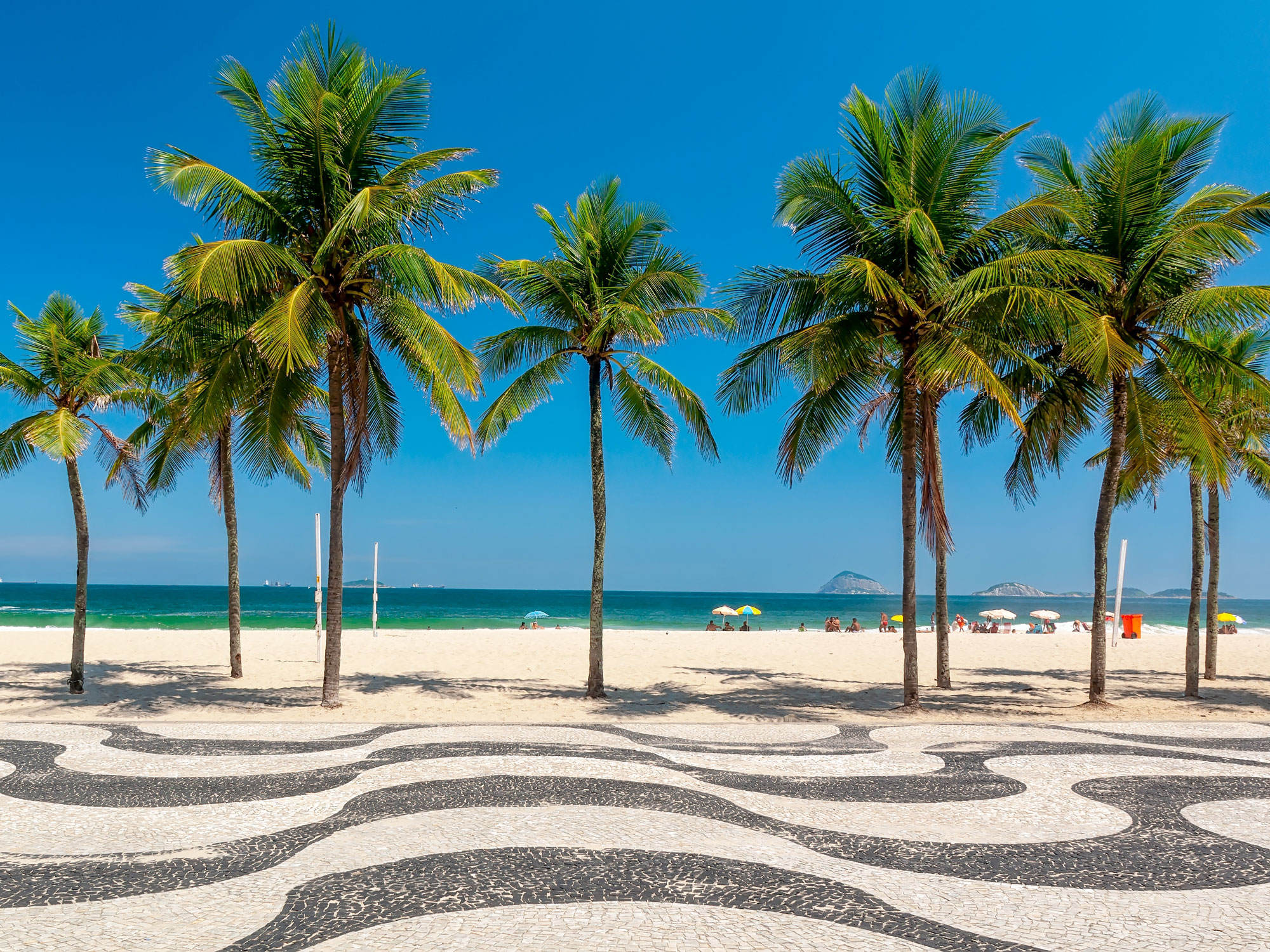
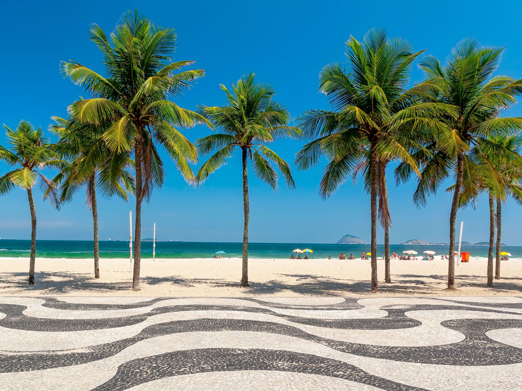
Palm trees, sand, and iconic wavy boardwalk at Copacabana Beach in Rio de Janeiro
Photo credit: Catarina Belova/ Shutterstock

This 2.5-mile-long stretch of golden sand is the epicenter of Rio de Janeiro’s beach culture. These days, vendors on Copacabana Beach hawk caipirinhas and acai bowls to thirsty tourists, while locals show off their soccer skills to a backdrop of high-rise buildings and jungle-covered hills. But in the 1800s, this coastal paradise was little more than a rocky coastline home to fishing communities and defensive fortresses. Back then it was called Sacopenapã, which referred to a bird native to the area. 

By the turn of the 20th century, tourism began to outpace the fishing industry at Copacabana Beach. Grand hotels such as the Belmond Copacabana Palace opened, and the promenade with the signature wave-like design was built in 1906. One of the biggest changes occurred in 1970, when a large landfill turned the original sliver of sand into a much wider beach capable of accommodating the thousands of tourists who flock here today. 

The Parthenon – Athens, Greece

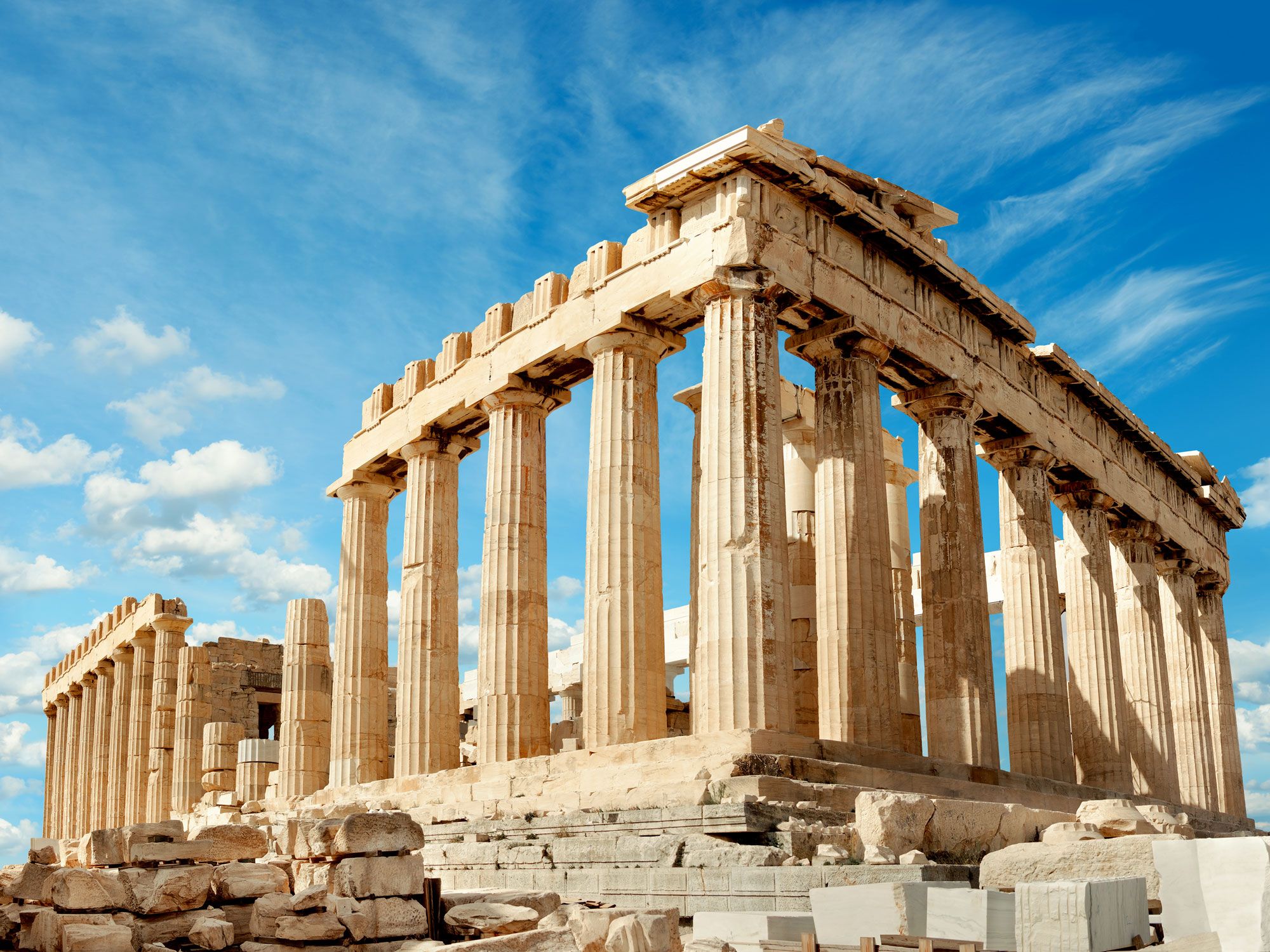
Image of the Parthenon ruins in Athens, Greece
Photo credit: tilialucida/ Shutterstock

Perched atop the Acropolis in Athens, the Parthenon stands as a symbol of the architectural prowess, cultural heritage, and wealth of Ancient Greece. Dedicated to the goddess Athena, the marble temple was erected in the fifth century BCE. Its original structure featured 46 columns and dozens of metopes and sculptures, which portrayed scenes of Athenian mythology. Inside was an enormous statue of Athena made from gold and ivory. 

Sadly, various occupants altered and damaged the landmark over the course of 2,500 years. It was converted into a church around 500 CE and an Ottoman mosque in the 1460s. The roof was later destroyed during an attack on Athens by the Venetians in 1687. Much like the rest of the Acropolis, the Parthenon is a fraction of its former glory, which leaves visitors with the task of imagining a fascinating, bygone era. 

Times Square – New York, New York

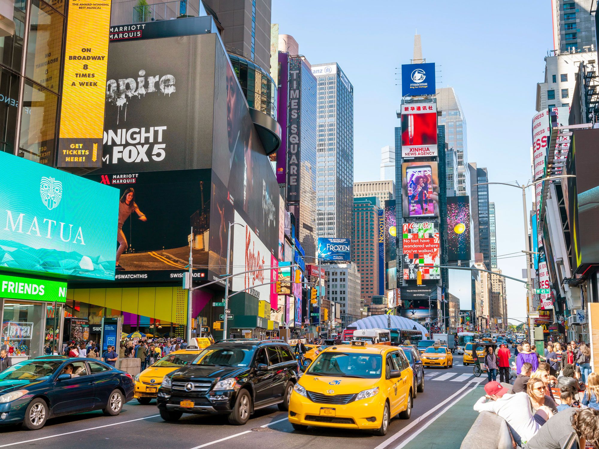
Street filled with cars, pedestrians, and billboards in Times Square, New York
Photo credit: Yuen Man Cheung/ Alamy Stock Photo

With its neon billboards, street performers, skyscrapers, and yellow taxi cabs, Times Square is perhaps New York City’s most emblematic tourist attraction. In the span of almost 150 years, this energetic intersection in the heart of midtown Manhattan has gone from glamorous to grubby and back again. Originally known as Long Acre Square, it became the site of William H. Vanderbilt’s American Horse Exchange around 1880, but at the time, it was just a large expanse framed by humble apartment buildings. 

The name Times Square came into use around 1905, when The New York Times moved into the Times Tower skyscraper. Restaurants, theaters, and luxury hotels soon followed. But further development was hampered by the Great Depression, and by the 1930s the area became synonymous with mobster crime and ill-reputed forms of entertainment. The vibrant Times Square of today began to take shape in the 1990s following efforts by a succession of city mayors, and it’s now one of the country’s most-visited tourist sites.  

Waikiki Beach – Oahu, Hawaii

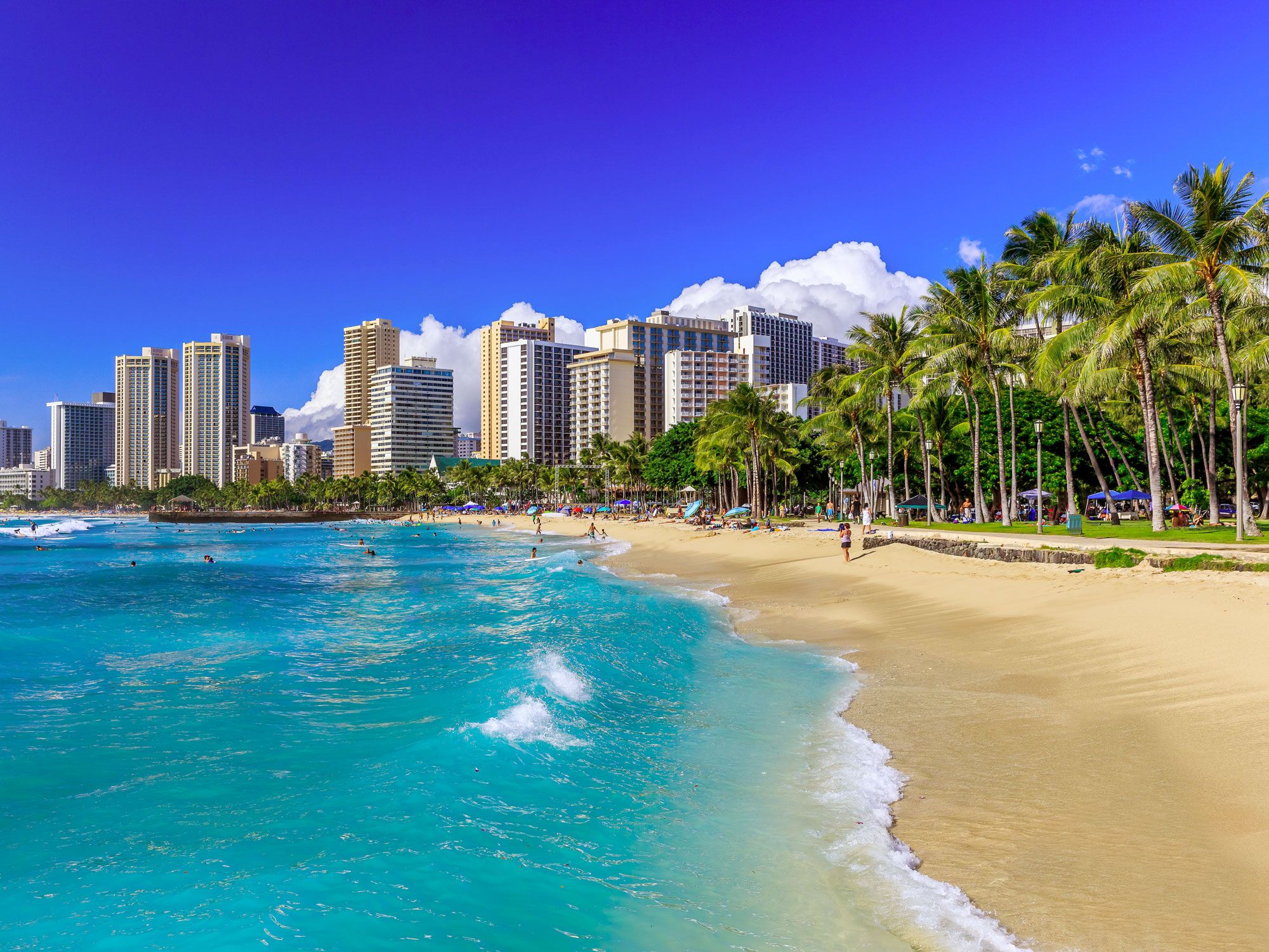
Image of Waikiki Beach in Honolulu, Hawaii
Photo credit: Sorin Colac/ Alamy Stock Photo

Waikiki Beach is one of Hawaii’s most recognizable destinations. It’s where flashy high-rise hotels line the palm-shaded Waikiki Beach and surfers catch rolling waves from sunrise to sunset. This bustling beachside neighborhood hasn’t always been a tourism hotspot, though. 

In the 1400s, marshland comprised much of Waikiki, which was a meeting place for Oahu royalty such as Chief Kalamakua. The name Waikiki means “spouting water” in the Hawaiian language and is a reference to the area’s rivers and springs. In the 1800s, Waikiki was chosen as the location of King Kamehameha I’s royal court. Foreign tourism began to flourish in the 1830s, followed by the first road in the 1860s and a tramway in the 1880s. The inauguration of the Moana Hotel in 1901 and a visit from Elvis Presley in 1957 further helped to put Waikiki on the map and influenced a wave of tourism development. Today, more than 4 million people visit each year.

Post Banner Image
Architecture

5 Must-See Gaudí Landmarks in Barcelona, Spain

By Cynthia Barnes
Read time: 4 minutes
August 18, 2023
Updated: August 18, 2023

5 Must-See Gaudí Landmarks in Barcelona, Spain

By Cynthia Barnes
Author
Cynthia Barnes
Cynthia kicked around the world for a while before landing in Colorado. Her work has appeared in Food & Wine, the Boston Globe, and National Geographic, among others. She loves dives — both scuba and bars — baseball, the Oxford comma, and live music.

One of the world’s most famous architects, Antoni Gaudí adored Barcelona, Spain’s second-most populous city and the capital of the autonomous community of Catalonia. The Catalan architect adorned it with so many stunning designs that his work is almost synonymous with the city itself. From light posts — his first public commission — to private homes, parks, apartments, and churches, Barcelona is a wonderland of Gaudí’s ornate and whimsical works. Fourteen of his commissions remain in the city and surrounding areas, with seven comprising a UNESCO World Heritage Site dedicated to his works. Here are five Gaudí landmarks in Barcelona you definitely shouldn’t miss.

Park Güell 

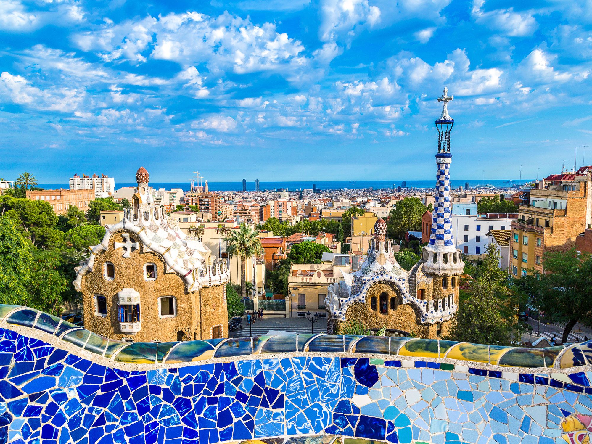
Blue-tiled wall overlooking Barcelona skyline at Park Güell
Photo credit: Ayhan Altun/ Alamy Stock Photo

Located on Carmel Hill, Park Güell is one of the largest green spaces in Barcelona and one of the city’s most popular parks. Originally built as a private recreation space for wealthy residents of the area, the park is now open to the public. It features a dramatic curved stairway guarded by a tiled dragon, elaborate gardens, and a Nature Square crowned with a colorful undulating bench that offers breathtaking views of the city. To control overcrowding, certain hours are reserved for residents of the neighborhoods adjacent to the park, and timed tickets are required for entry. While visiting the park, be sure to check out the Gaudí House Museum, where the architect lived from 1906 to 1925.


Casa Batlló

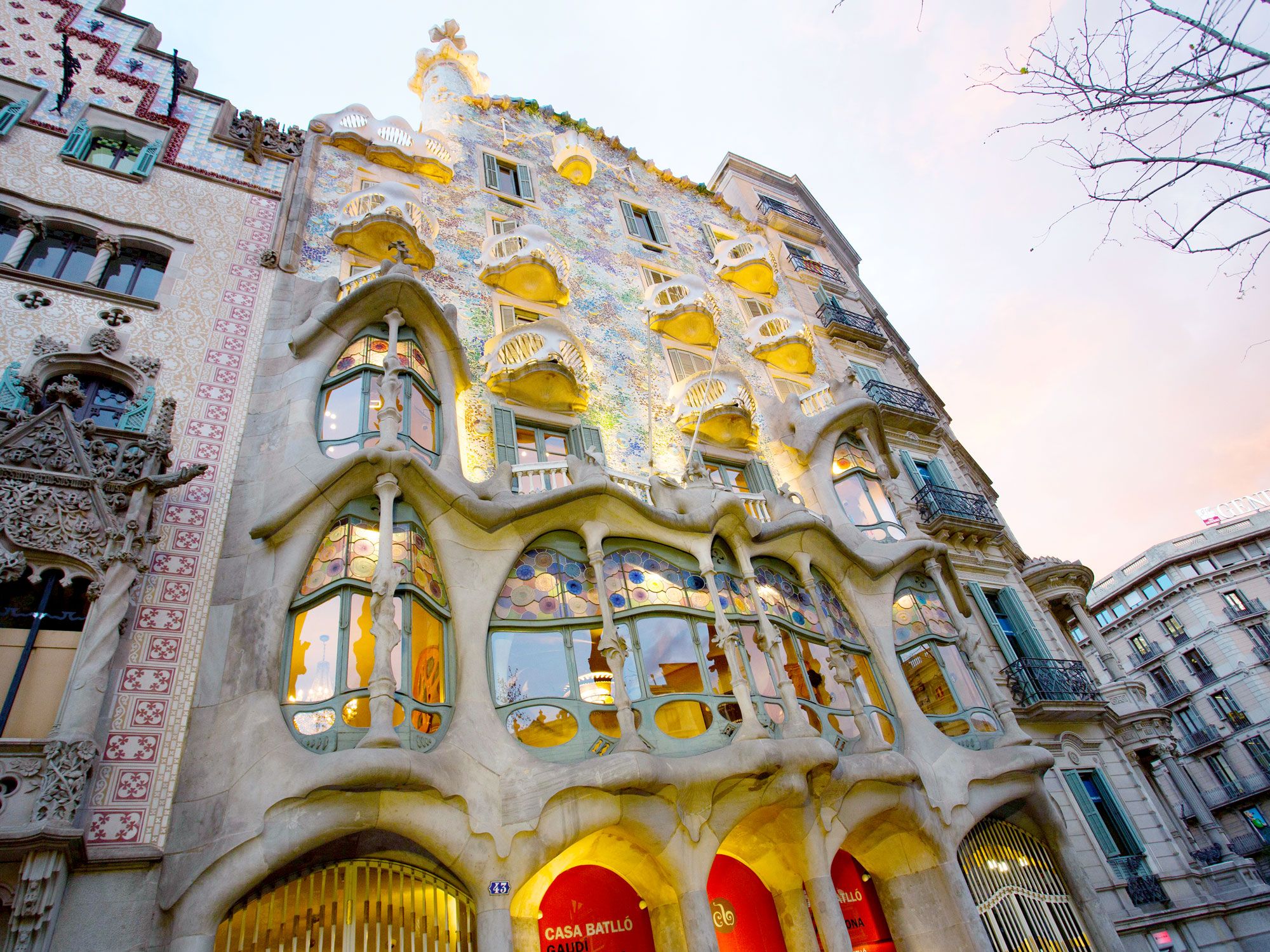
Unusual facade of Casa Batlló in Barcelona, Spain
Photo credit: Jake Lyell/ Alamy Stock Photo

Industrialist Josep Batlló gave Gaudí full creative control over this 1877 house on the posh promenade Paseo de Gracia in the city center. Instead of Batlló’s intention to demolish the structure, the architect had other plans. Gaudí completely reimagined and reinvented the facade, creating a colorful and curvy design that incorporates marine and floral elements, masks, dragons, and bones. The light-flooded interior of Casa Batlló is as whimsical and delightful as the facade, featuring stained glass, wavy ceilings, a mushroom-shaped fireplace, and a brilliantly tiled indoor oasis. Don’t miss the glorious rooftop terrace, especially the performances on “Magic Nights.”

La Sagrada Familía

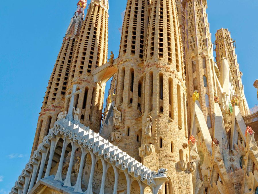
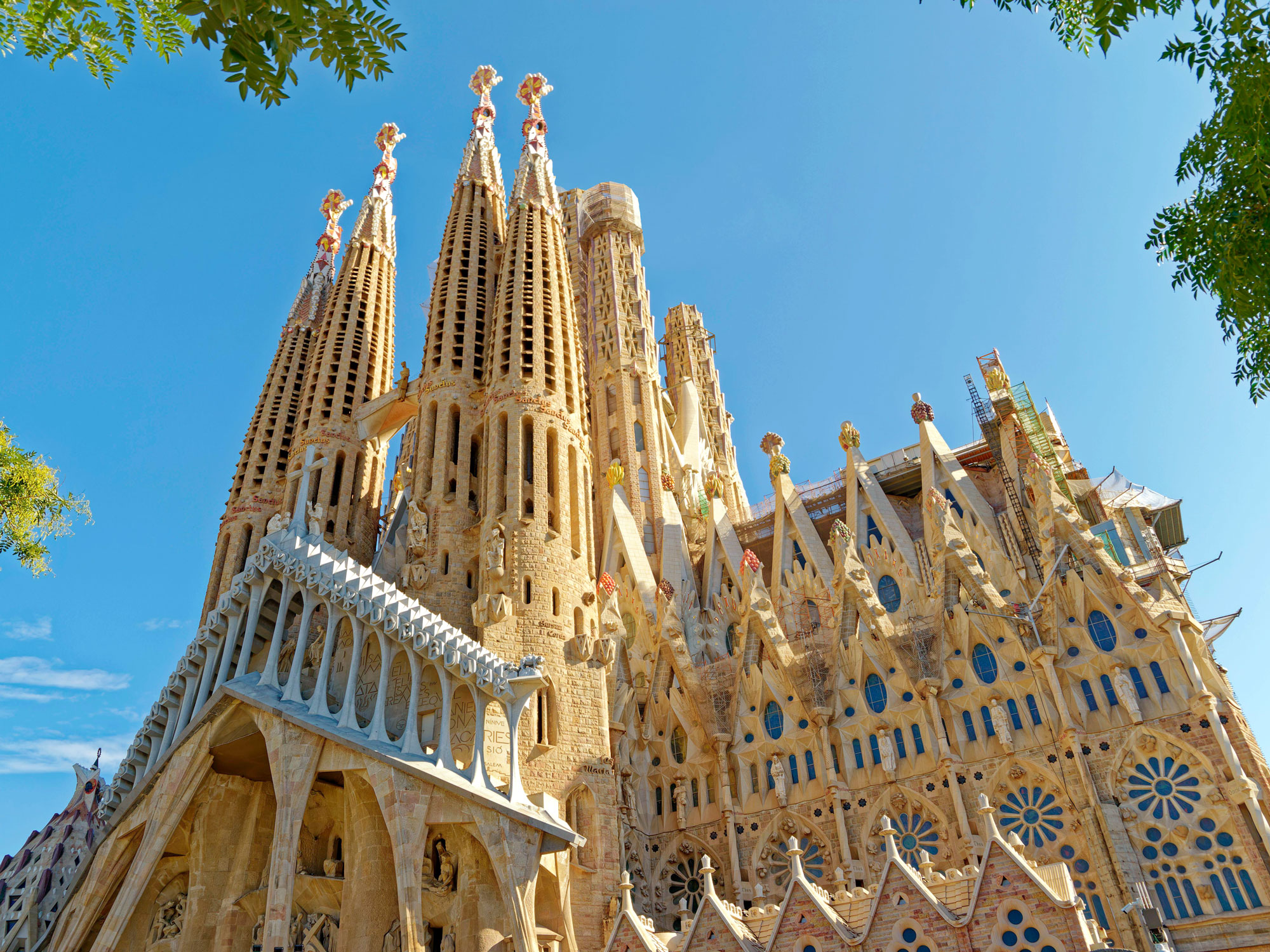
Image of La Sagrada Familia in Barcelona, Spain
Photo credit: Sergii Figurnyi/ Shutterstock

The masterpiece that occupied Gaudí from 1883 until his death in 1926, the Sagrada Família remains Barcelona’s most iconic landmark. Construction on the unbelievably intricate church (whose full name is Basílica i Temple Expiatori de la Sagrada Família) remains ongoing — although the interior was completed in 2010 (the same year it was consecrated as a basilica by Pope Benedict XVI), the exterior is unfinished. The tower of Jesus, the final piece of the masterpiece, is slated for completion in 2026. It will join a complex that includes a central nave, glorious facades, crypts, bell towers, and a statuary. More than 4 million people visit the Sagrada Família each year, making it one of the city’s most popular tourist attractions.

Casa Milà

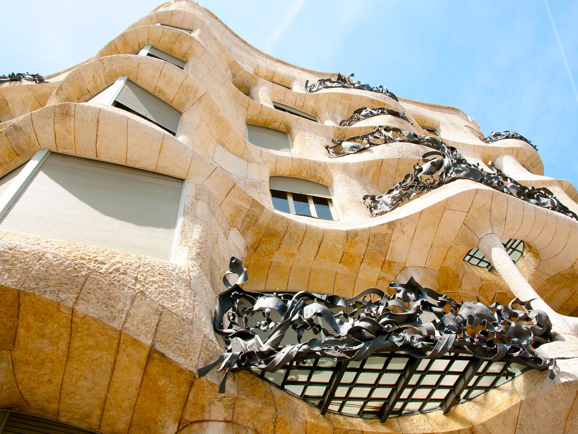
Looking up at the curvy, whimsical facade of Casa Milà
Photo credit: Adwo/ Alamy Stock Photo

The last work Gaudí designed before fully committing himself to the Sagrada Família, Casa Milà was nicknamed “La Pedrera” (the Stone Quarry) by locals who disliked its rough-hewn appearance while it was under construction. Fortunately, opinions changed, and now the building is regarded as a modernist masterpiece. The intricate wrought-iron entrance doors, balustrades, basement window grilles, and balconies are of particular interest. While the house is open to the public for tours, Casa Milà still has three rented apartments that have been home to lucky tenants for more than 70 years.

Palau Güell

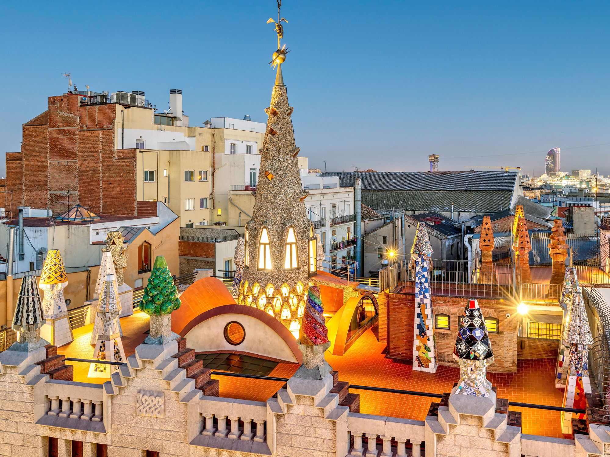
Barcelona's Palau Güell, seen from above
Photo credit: Stefano Politi Markovina/ Alamy Stock Photo

Intricate ironwork is also apparent at Palau Güell, one of Gaudí’s earlier works from when he was still firmly designing in the Art Nouveau tradition. Built between 1886 and 1888 in the El Raval neighborhood, the palace was designed for the industrial tycoon Eusebi Güell. The ornate arched oval entrances of the mansion were constructed to accommodate horse-drawn carriages — guests could alight into a covered courtyard while the animals were led down ramps into the stable. The grand upper lobby is a study in marble, while the rooftop’s whimsical and colorful chimneys give a preview to the development of the architect’s later style.

Post Banner Image
Culture

Seeing Double: 6 Look-Alike Destinations on Different Continents

By Julia Hammond
Read time: 6 minutes
August 18, 2023
Updated: August 18, 2023

Seeing Double: 6 Look-Alike Destinations on Different Continents

By Julia Hammond
Author
Julia Hammond
Julia is a U.K.-based travel writer whose work has been featured in The Independent, The Telegraph, The New Zealand Herald, and Culture Trip, among others. She’s an enthusiastic advocate for independent travel and a passionate geographer who has had the privilege of traveling to more than 130 countries in search of a story.

Oscar Wilde once said, “Imitation is the sincerest form of flattery.” Why shouldn’t that notion apply to travel? If you’ve ever found yourself on vacation thinking that the place you’re in feels remarkably familiar, maybe that’s because it is. Across the world, there are cities, neighborhoods, buildings, and landmarks that bear a striking resemblance to others — often continents apart. Let these six look-alike destinations serve as inspiration for your next trip.

Hallstatt, Austria / Hallstatt, China

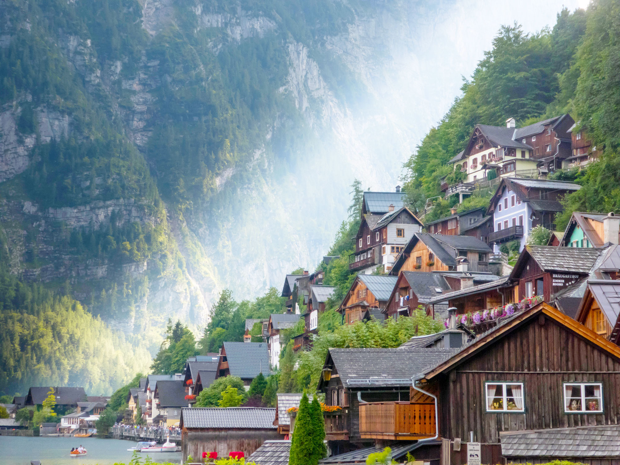
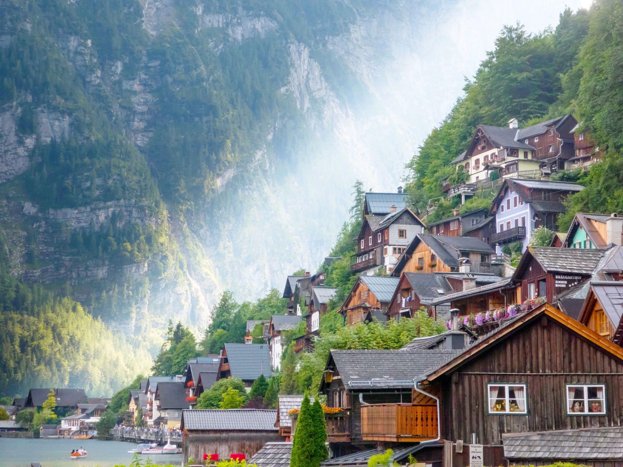
Homes built into hillside in Hallstatt, Austria
Photo credit: SwissPhoto/ Alamy Stock Photo

China’s fad for imitation has led to the construction of numerous copycat towns: Paris is reproduced in Tianducheng, Jackson Hole near Beijing, and Venice in Dalian, to name just a few. Perhaps the most famous is Hallstatt, which is a carbon copy of a picturesque village of the same name in Austria’s Salzkammergut region. 

Located within Huizhou in the Guangdong province, the city features replicas of the fountain, church, and main street found in its Austrian counterpart. Still, it lacks the historic and cultural value of the original, which is a UNESCO World Heritage Site and home to the world’s oldest salt mine. This characterful place, hemmed in by the Dachstein Mountains, was inaccessible for many centuries except by boat or on foot. As a result, Hallstatt was largely spared from modern development. Instead, colorful Baroque-style buildings still line its charming cobblestone streets. 

Guanajuato, Mexico / Gamcheon, South Korea

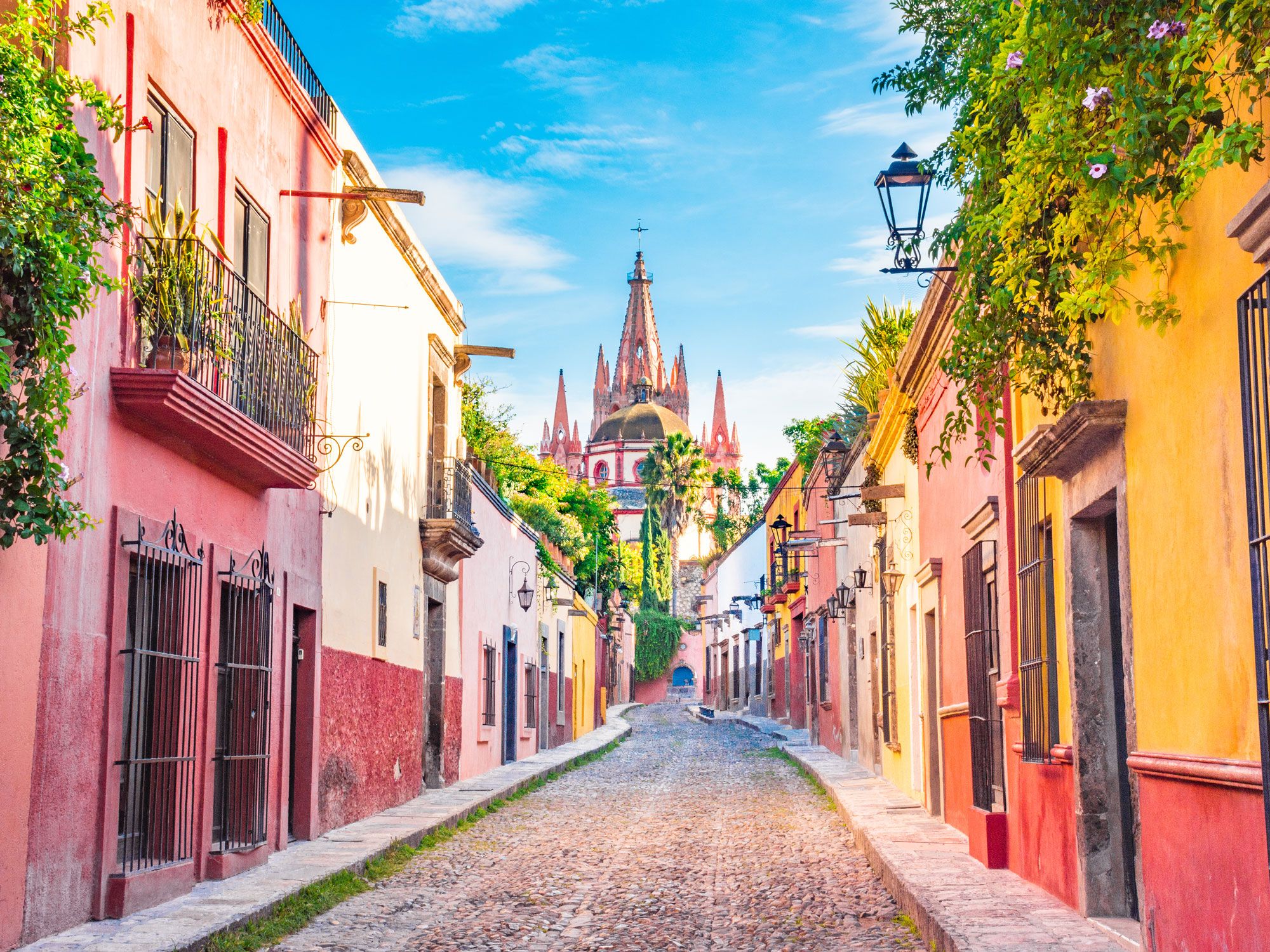
Narrow street lined with colorful homes in Guanajuato, Mexico
Photo credit: Rubi Rodriguez Martinez/ Shutterstock

The central Mexican city of Guanajuato, founded in 1554, was once at the heart of the country’s silver-mining industry. The wealth that it generated paid for the construction of some of Guanajuato’s most ornate churches, and today the city is as well known for its colorful architecture as it is for its religious and industrial heritage. One of the best ways to experience it is to ride the funicular to Monumento al Pípila and take in the panoramic views from above. 

The vibrant paintwork brings to mind the Gamcheon Cultural Village in the South Korean city of Busan. This neighborhood was one of the city’s poorest areas, when, in 2009, the Ministry of Culture, Sports, and Tourism funded a regeneration project to make it a more attractive place to live. Though some have dubbed it the Machu Picchu of Korea, it perhaps has more in common with Guanajuato’s colorful architecture than Peru’s most famous archaeological site.

Statue of Liberty, New York / Statue of Liberty, Tokyo

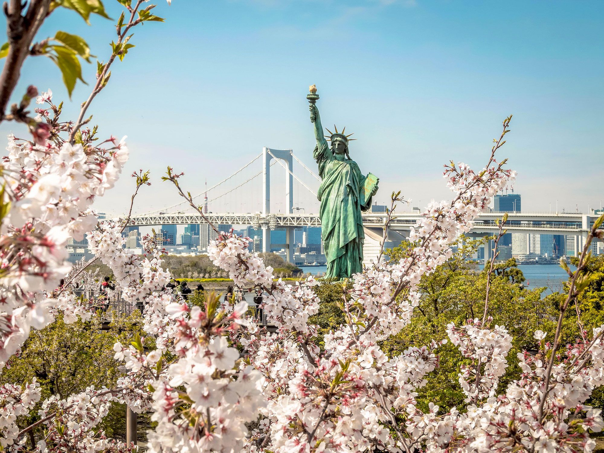
Replica Statue of Liberty surrounded by cherry blossoms in Tokyo, Japan
Photo credit: Nikola Glavan/ Alamy Stock Photo

Dedicated in 1886, the Statue of Liberty is one of New York City’s most emblematic landmarks and one of the world’s most recognizable statues. Looking out across New York Harbor from Liberty Island, the statue was a gift from the French people to the United States. French sculptor Frédéric Auguste Bartholdi designed the copper figure, and its steel framework was the work of Gustave Eiffel (of the Eiffel Tower in Paris). 

The statue depicts Libertas, the Roman goddess of freedom, which may explain why there are many other similar statues around the world. In Japan, for example, you can travel to Odaiba to see the one-seventh-size replica that has stood in front of the Rainbow Bridge in Tokyo Bay since 1998. Like the original, it symbolizes a friendship with France. And there are other similar statues in Japan — the tallest of them is in Oirase, which sits on the same latitude as New York City.

Haifoss, Iceland / Maletsunyane, Lesotho

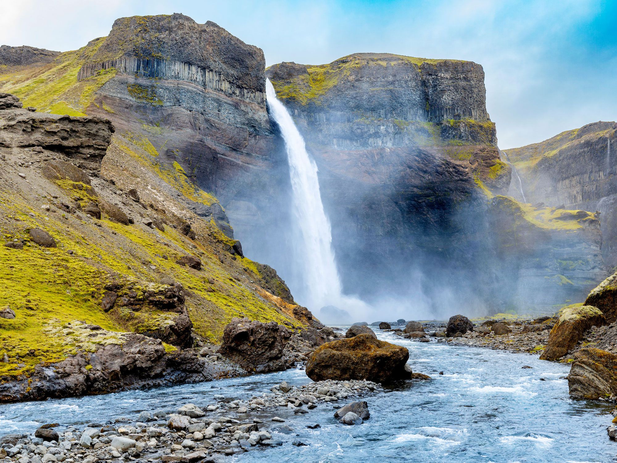
Háifoss waterfall in Iceland
Photo credit: Luke Martley/ Alamy Stock Photo

Drive through the Icelandic countryside and you’ll likely come across an impressive number of waterfalls. Though you can see plenty from the country’s famed Ring Road, one of the most remarkable is Háifoss, located on the Fossá River on the edge of the Icelandic Highlands. Its name translates to “the high waterfall,” which is apt when you consider it drops a staggering 400 feet to the valley floor. 

Standing in front of Maletsunyane Falls in the southern African mountain nation of Lesotho, you could be forgiven for thinking you’re in the North Atlantic — like its European counterpart, it plunges over basalt softened by lush green vegetation. You’ll find the 600-foot-tall single cataract near the village of Semonkong, whose name means “smoky place” thanks to the near-constant spray from the waterfall. If you have a head for heights, you can even arrange to rappel down the side of the falls. 

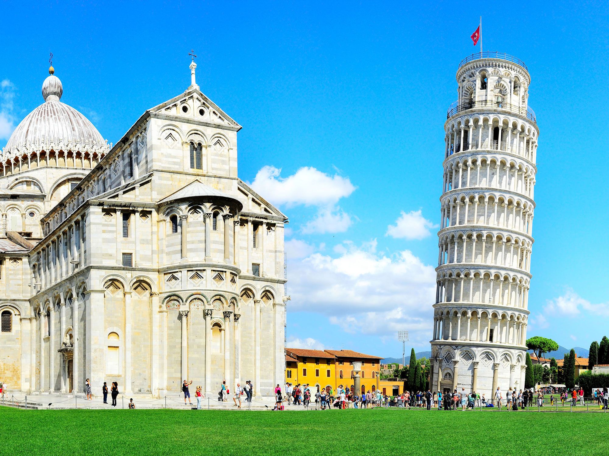
Leaning Tower of Niles, Illinois / Leaning Tower of Pisa, Italy

Image of the Leaning Tower of Pisa
Photo credit: Ivan Nesterov/ Alamy Stock Photo

Travelers flock to the Italian city of Pisa to see its famous Leaning Tower. From the start, construction of this unusual landmark was beset by problems. After the first three stories were completed in 1173, the weight of the marble caused the structure to sink into the soft ground. The project was put on hold while engineers were tasked with figuring out a solution. When that solution came, it was a dud — making the blocks on the sunken side taller only added to the weight and accentuated the lean. 

Nevertheless, this iconic bell tower has never collapsed, and more than 600 years later, it’s a perennial favorite with visitors, who often pose for photos as they pretend to prop it up. But you don’t need to make the journey to Italy to do so: There’s an exact replica of the tower in the city of Niles, Illinois. Businessman Robert Ilg laid out a city park in the 1920s but wanted to disguise a water tower, and a replica of the Italian landmark was considered just the ticket. Thanks to these look-alike landmarks, the cities of Niles, Illinois, and Pisa, Italy, became sister cities in 1991.

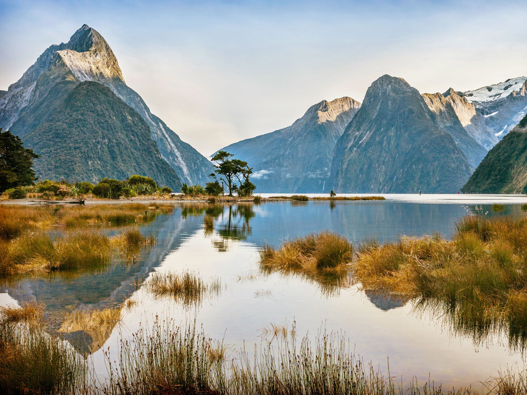
Fiordland, New Zealand / Fjords of Norway

Milford Sound in New Zealand
Photo credit: travellinglight/ Alamy Stock Photo

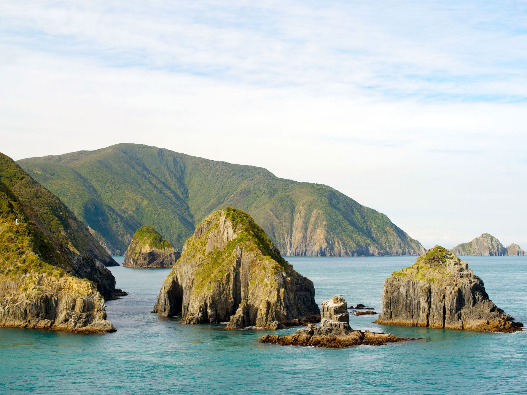
The Fiordland region of New Zealand is home to some of this South Pacific island nation’s most dramatic scenery. Craggy granite mountains rise out of the water, including the famous Mitre Peak (Rahotu in the language of the country’s Indigenous Māori peoples) in the UNESCO-listed Milford Sound (Piopiotahi). Nearby Doubtful Sound boasts bottlenose dolphins, fur seals, and penguins. In both places, waterfalls — some of which stretch hundreds of feet tall — plunge over towering cliffs. Inland, the area’s glacial valleys are just as breathtaking and best appreciated from the air. 

But you don’t need to travel to the Southern Hemisphere to find remarkably similar scenery. In Europe, the Norwegian coastline is also known for its fjords — in fact, the word has origins in Old Norse. Highlights of the region include Nærøyfjord, an extraordinarily beautiful arm of the Sognefjord, and Geirangerfjord, known for its three waterfalls: the Seven Sisters, the Suitor, and the Bridal Veil. Even as you move away from the coast, you don’t lose the wow factor — take, for instance, Trolltunga, a spectacular rocky precipice jutting out over Lake Ringedalsvatnet. 

Post Banner Image
Geography

The World’s Most Unusually Named Islands

By Daily Passport Team
Read time: 9 minutes
August 17, 2023
Updated: February 19, 2025

The World’s Most Unusually Named Islands

By Daily Passport Team
Author
Daily Passport Team
Daily Passport writers have been seen in publications such as National Geographic, Food & Wine, CBC, Condé Nast Traveler, and Business Insider. They're passionate about uncovering unique destinations and sharing expert tips with curious travelers.

There’s something about the geographic isolation of islands that captures the imagination. That’s even more true when they come with an intriguing, mysterious, hilarious, or just bizarre name (or nickname). From the atoll that inspired the name of a popular swimwear piece to one particularly disappointing isle, journey to all corners of the planet as we uncover 15 islands with highly unusual names.

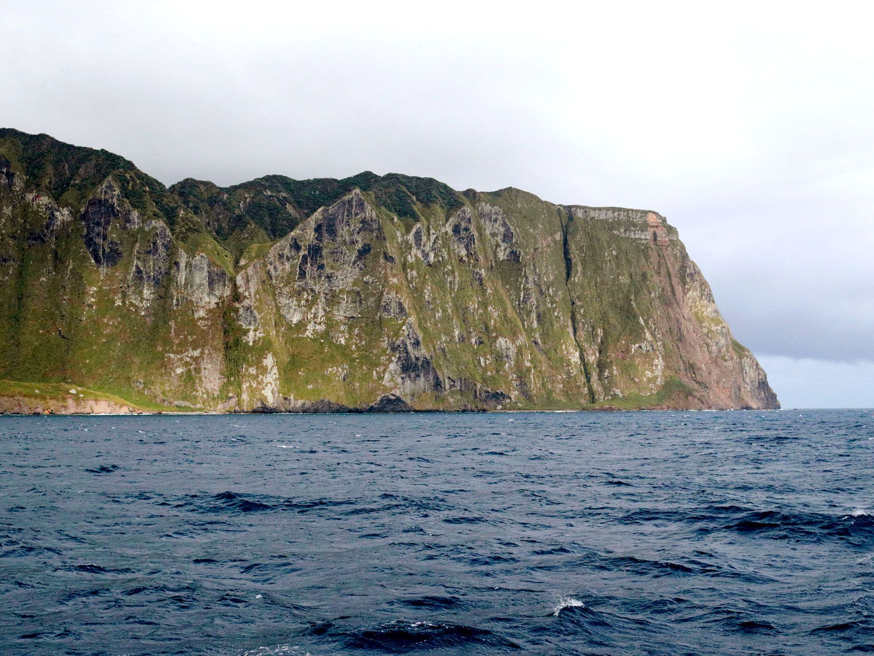
Inaccessible Island – United Kingdom

View of Inaccessible Island from coastal waters
Photo credit: John Holmes/ Alamy Stock Photo

Inaccessible Island is not completely inaccessible, but it’s pretty close. A large rocky islet rising out of the frigid South Atlantic, the island is technically a territory of the United Kingdom, but to reach it, you’ll need to travel about eight days by boat from either South Africa or Argentina. However, that boat won’t get you all the way to the island — after getting official permission, Inaccessible Island can only be accessed on smaller boats, for about one week out of the year (if the weather cooperates).

On the island, you won’t find much: a small, rocky beach and a large number of seabirds. You will, however, have bragging rights to having set foot on one of the least-visited and most remote islands on the planet. There are two theories as to how Inaccessible Island got its name — one is that the Dutch explorers who arrived in 1656 were unable to traverse the steep cliffs to the island’s interior; the other is that a French captain named it after not being able to land there in 1778.

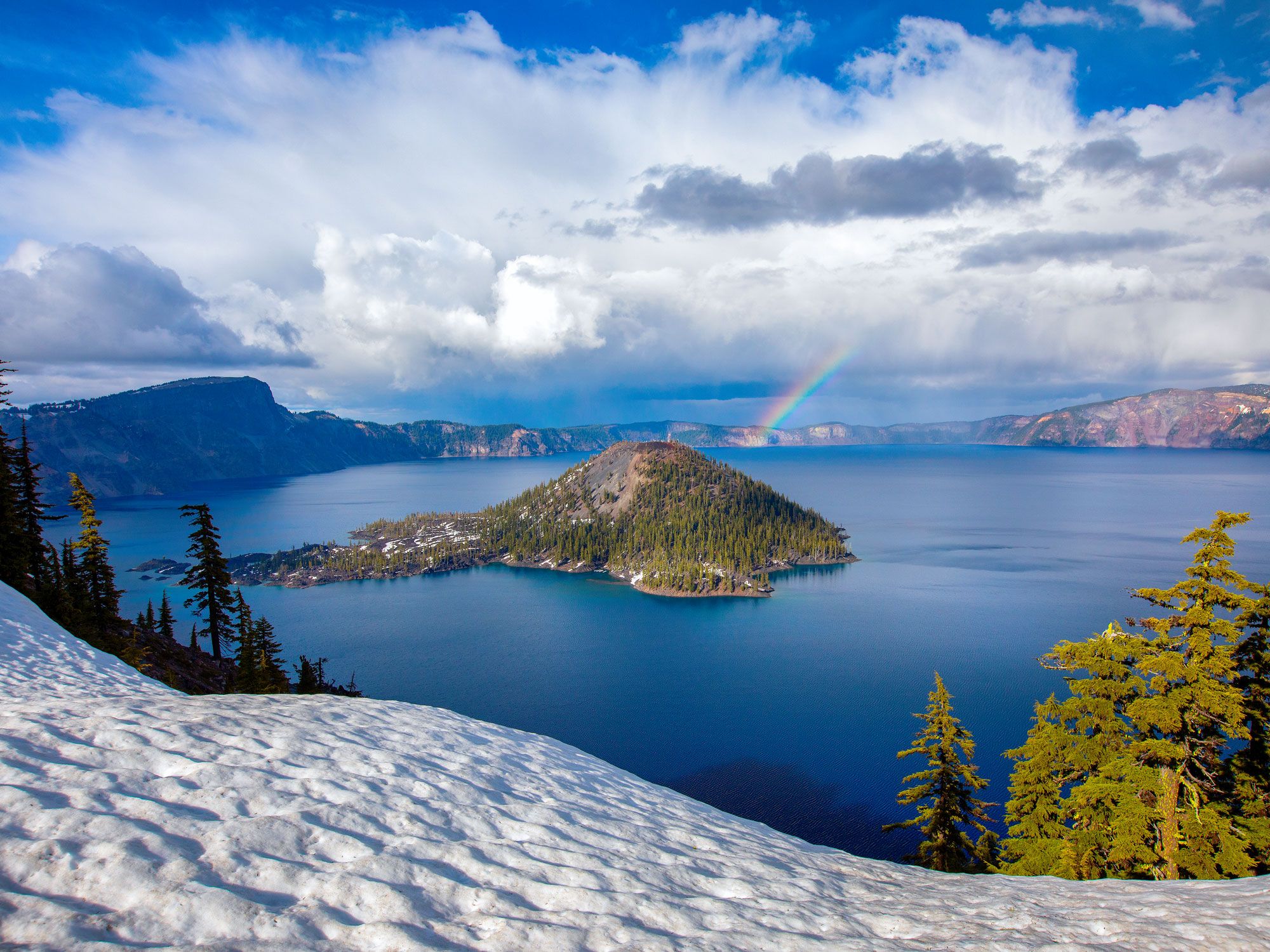
Wizard Island – Oregon

Rainbow forming over Wizard Island in Oregon, seen from above
Photo credit: Bill45/ Shutterstock

Is it Merlin’s hat or Dumbledore’s? Either way, the shape of this volcanic cinder cone rising from Oregon’s Crater Lake definitely resembles a wizard’s pointy hat, which is what inspired its name. The sorcerer’s chapeau was shaped around 8,000 years ago, when Mount Mazama erupted, and then collapsed. The resulting crater surrounding the cinder cone filled with snowfall, creating an incredibly clear — and bone-chillingly cold — lake that’s among the bluest (and cleanest) in the world. At 1,943 feet, it’s also the deepest lake in the U.S. Part of Crater Lake National Park, Wizard’s Island can only be accessed by boat. Make reservations well in advance (spots fill up quickly) and don’t forget to bring your wands — err — hiking poles.

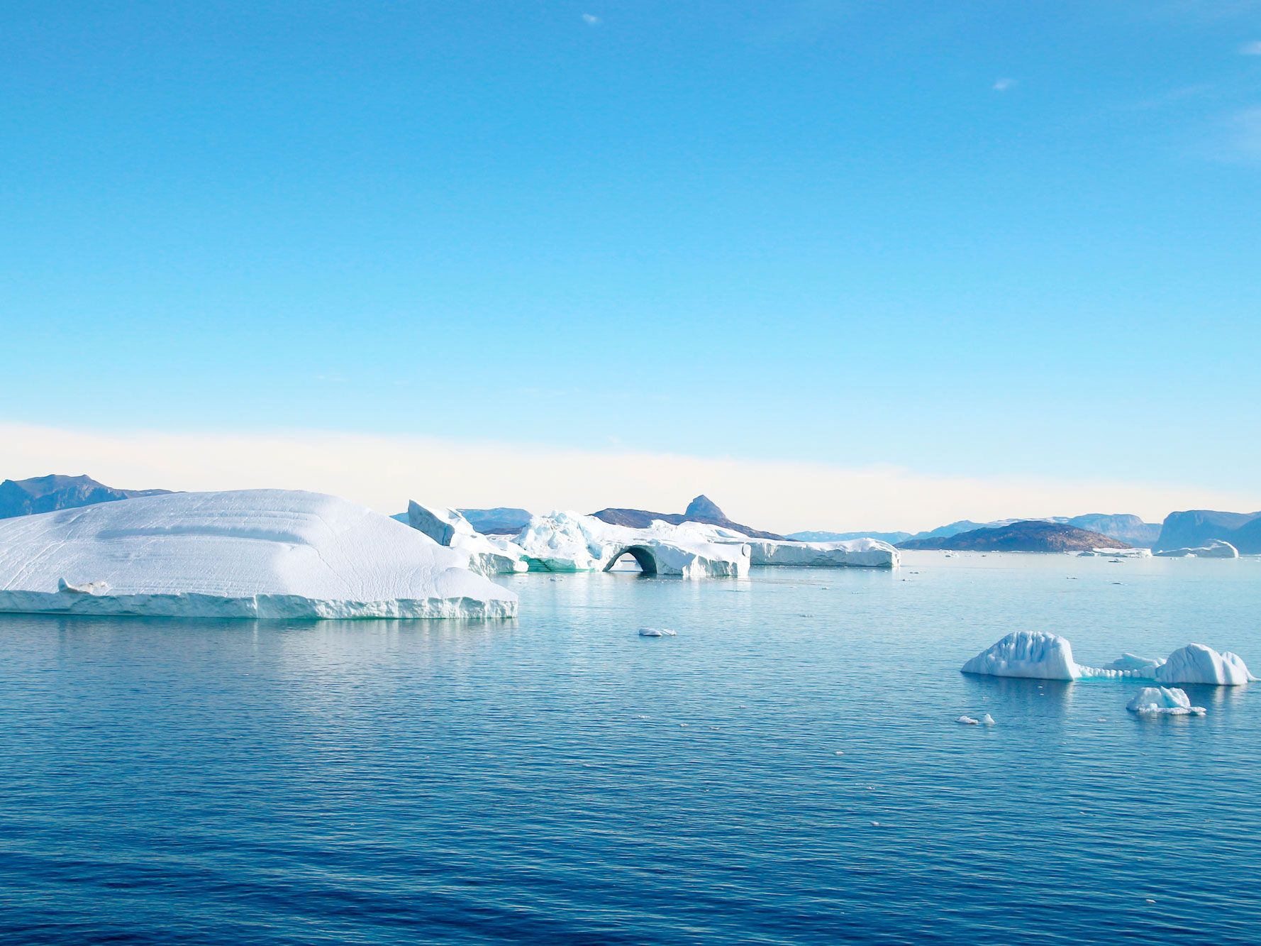
Coffee Club Island – Greenland

Icebergs off the coast of Greenland's Coffee Club Island
Photo credit: jet 67/ Shutterstock

Although several upstart gravel banks attempt to challenge its title, Kaffeklubben (Danish for “Coffee Club”) Island is the northernmost point of land on the planet. (Other masses may be closer to the North Pole, but they tend to shift, submerge, and disappear.) U.S. explorer Robert E. Peary first spotted the island in 1900; Danish explorer Lauge Koch visited it in 1921 and named it after the coffee club in the University of Copenhagen Geological Museum. Visitors to the uninhabited island will need to bring their own coffee — and almost everything else — as there is little on Kaffeklubben except lichen, mosses, and wildflowers.

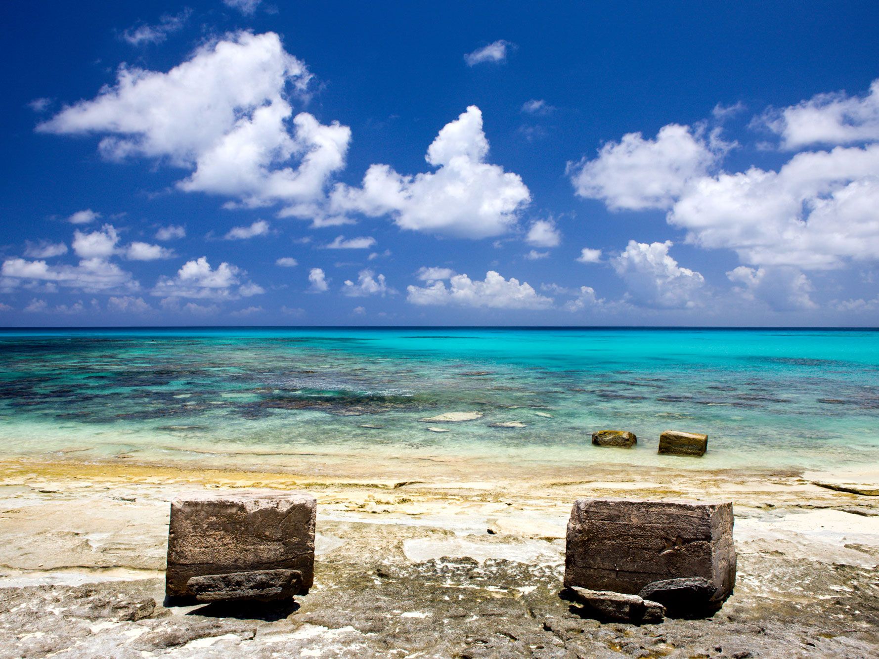
Bikini Atoll – Marshall Islands

Rocks on deserted beach on Bikini Atoll
Photo credit: Reinhard Dirscherl/ Alamy Stock Photo

This ring-shaped coral reef halfway between Hawaii and Australia would be the perfect Pacific paradise — if it were not 10 times more radioactive than Chernobyl. Between 1946 and 1954, the U.S. government detonated 23 nuclear devices on the palm-fringed site, blasting the equivalent of 216 Empire State Buildings into the sky and causing entire sections of the atoll to disappear.

However, it had a lasting impact on popular culture: Four days after the first explosion, French engineer Louis Réard debuted a revealing two-piece swimsuit named after the atoll, hoping the name “bikini” would create a different kind of explosion. (The island’s name came from German colonizers, translated from the Marshallese name for the island, Pikinni.) Today the islets understandably remain uninhabited, but the coral reefs are amazingly robust.

Disappointment Island – New Zealand

Rocky coastline of Disappointment Island in New Zealand
Photo credit: Augusto Vitale/ Shutterstock

The New Zealanders who named this rocky spot for its frequent shipwrecks and its lack of resources obviously weren’t concerned with the island’s self-esteem. Part of the Auckland Archipelago, Disappointment is one of seven islands that sits about 290 miles off the southern coast of the nation’s South Island. The perpetually overcast archipelago is uninhabited by humans, but that is no disappointment to the wildlife population — 2,000-plus Southern right whales, nearly the entire population of white-capped mollymawks (a medium-sized albatross) on Earth, and the rare endemic Auckland rail, a bird once thought to be extinct.

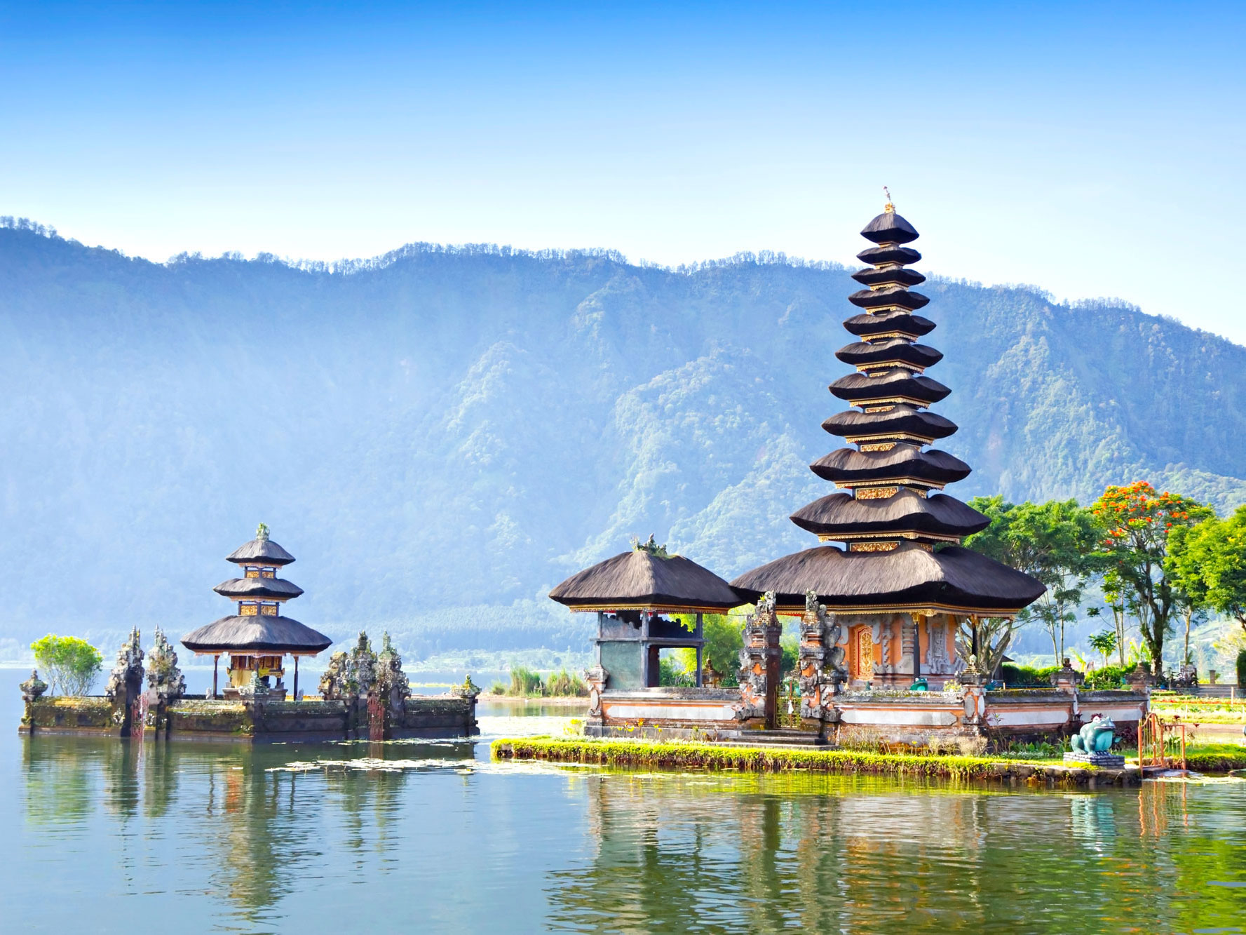
Island of the Gods – Bali, Indonesia

Hindu temples on Bali, the "Island of the Gods"
Photo credit: saiko3p/ Shutterstock

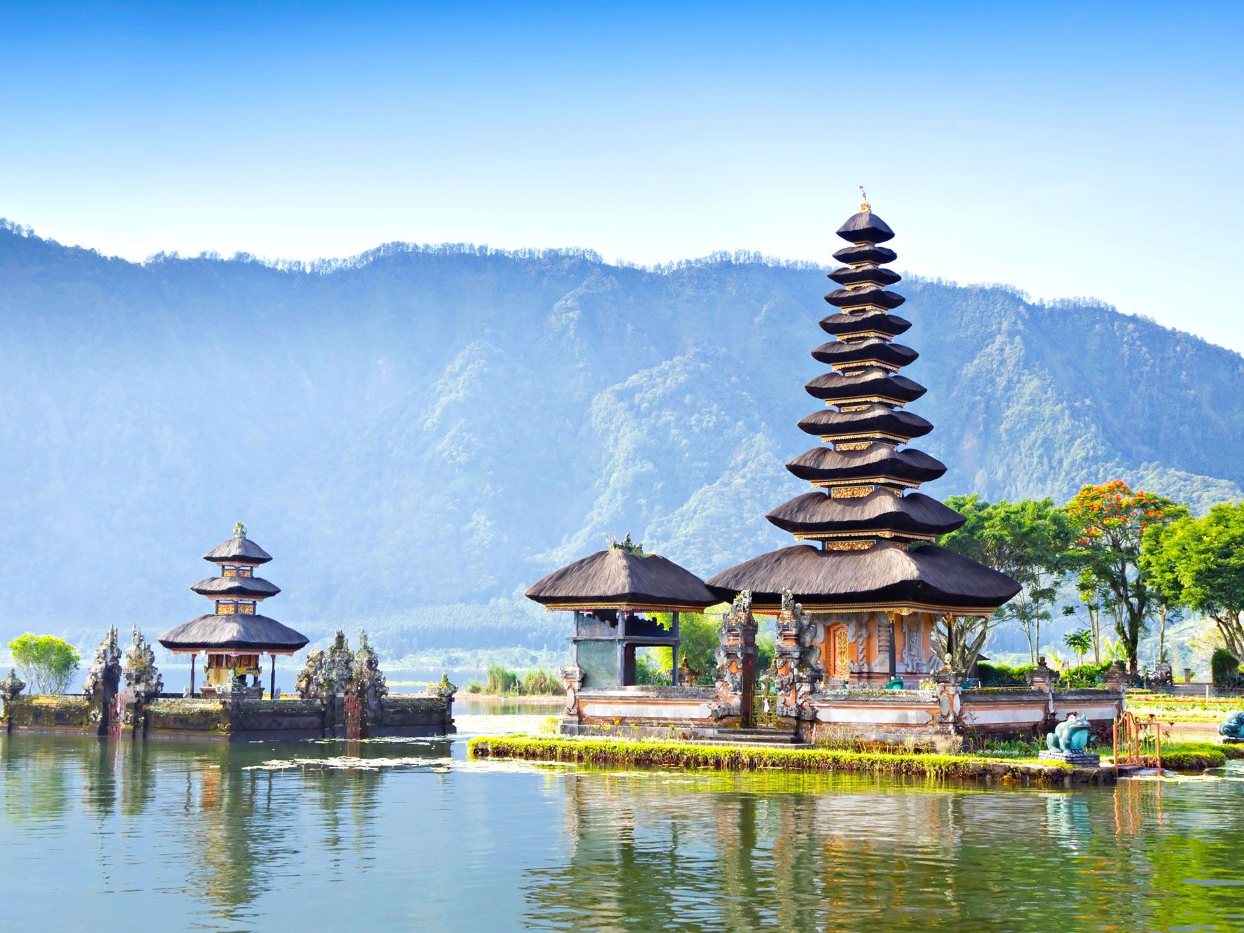
Island of the Gods is a grand (and fitting) moniker, but most probably know this Indonesian island by another name: Bali. The only majority-Hindu island in the most populous Muslim nation in the world, Bali is infused with spirituality. Small palm baskets called canang sari are ubiquitous, filled with flowers and other offerings to the gods. Small temples adorn rooms, larger temples adorn homes, and enormous and fantastically ornate temples dot the entire island. The landscape itself seems blessed, from imposing mountains, to emerald rice terraces and sugar-sanded beaches foamed by lush seas.

Island of Youth – Cuba

Bridge over canal on Cuba's Island of Youth
Photo credit: sweasy/ Shutterstock

When claiming it for Spain, Christopher Columbus called this island — the second-largest in Cuba — La Evangelista. It’s also been called Isla de Cotorras (“Isle of Parrots”), Isla de Tesoros (“Treasure Island”), and Isla de Pinos (“Isle of Pines”). The island’s pirates and inhabitants heavily inspired both Robert Louis Stevenson’s Treasure Island and J.M. Barrie’s Peter Pan. In 1978, leader Fidel Castro renamed it yet again, dedicating the Isla de la Juventud (“Island of Youth”) to recognize achievements by Cuba’s Communist youth. That name stuck, and today the island is home to almost 100,000 people.

Society Islands

Tropical foliage with city and mountains in background on Tahiti in the Society Islands
Photo credit: Diane C Macdonald/ Shutterstock

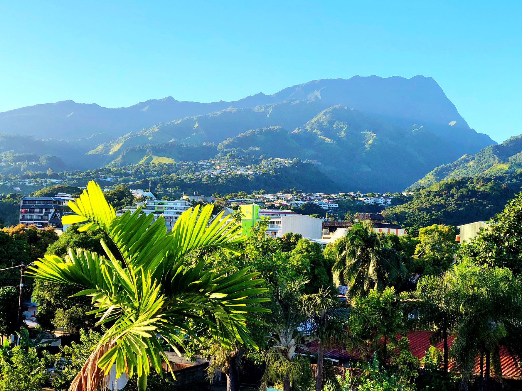
The name “Society Islands” may conjure up images of stuffy tea rooms and cigar smoke-filled clubs, but the breeze-kissed islands of this South Pacific archipelago are the opposite of stuffy. There are 14 islands comprising this French Polynesian paradise, and at least two should be quite familiar: Tahiti and Bora Bora. (The others are Moorea, Raiatea, Huahine, Taha’a, Tupai, Maupiti, Mopelia, Motu One, Manuae, Mehetia, Tetiaroa, and Maiao.) The larger volcanic islands are international tourism destinations, while smaller ones such as Motu One (Sand Island) are low-lying coral atolls.

English explorer Captain James Cook is credited with naming the islands when “discovering” them in 1769, although accounts differ as to the reasons for the name — one theory is that they are named for the Royal Society, which sponsored the first British scientific survey of the islands.

Christmas Island(s) – Australia and Kiribati

Sandy beach on Australia's Christmas Island
Photo credit: TravellingFatman/ Shutterstock

While there is no Thanksgiving Island, there are two Christmas Islands, both named for the day European explorers first landed there. The first Christmas Island is a small, dog-shaped island in the Indian Ocean, near Java. Once rich in phosphate (which has now mostly been mined), the island boasts a seasonally appropriate brilliant red crab population and is mostly covered in lush rainforest.

The second Christmas Island is a large coral atoll in the Pacific Ocean. Its local name is Kiritimati (in the Gilbertese language, “ti” is pronounced as an “s” sound, so it sounds like “Christmas”), and due to its position relative to the International Date Line, the island is one of the first inhabited places on Earth to experience New Year’s Day.

Easter Island – Chile

Iconic moai statues on Easter Island, Chile
Photo credit: Carlos Aranguiz/ Shutterstock

Dutch explorer Jacob Roggeveen first spotted Rapa Nui (as it is called by the Polynesians) on Easter Sunday in 1722. One of the most remote inhabited islands in the world, Easter Island is more than 1,000 miles from its nearest neighbor (tiny Pitcairn Island) and more than 2,000 miles from the coast of South America, the nearest continent. It is most famous for the myriad (887, to be exact) monolithic stone statues which preside solemnly over the land. Known as moai, the ancient guardians even have their own emoji.

Eel Pie Island – England

Boats docked in River Thames next to Eel Pie Island in London
Photo credit: Giuseppe Parisi/ Shutterstock

This eight-acre island in the middle of London’s River Thames is said to be named after the eel-filled pastries (a traditional Victorian-era working class dish) sold at an island inn. But the truly tasty story of Eel Pie is all in the music. The genteel 19th-century Eel Pie Hotel hosted tea dances before becoming a hotbed of jazz and blues shows in the 1960s. The Who, The Rolling Stones, and David Bowie all played there. The hotel eventually became a notorious hippie commune before it burned down in a mysterious fire. Visitors can still access Eel Pie Island by footbridge today.

Rainbow Island – Iran

Multi-colored coast and waters of Rainbow Island in Iran, seen from above
Photo credit: Grigvovan/ Shutterstock

This island in the Persian Gulf’s Strait of Hormuz is often called “Rainbow Island” for a clear reason: The unique geology of the site in the Persian Gulf’s Strait of Hormuz doesn’t need any fancy Instagram filters to demand attention. Hormuz is a salt dome, and the interaction with clay, water, and rocks results in soils in vivid shades of ochre, yellow, red, and orange across the island. There’s even a red beach — with red water!

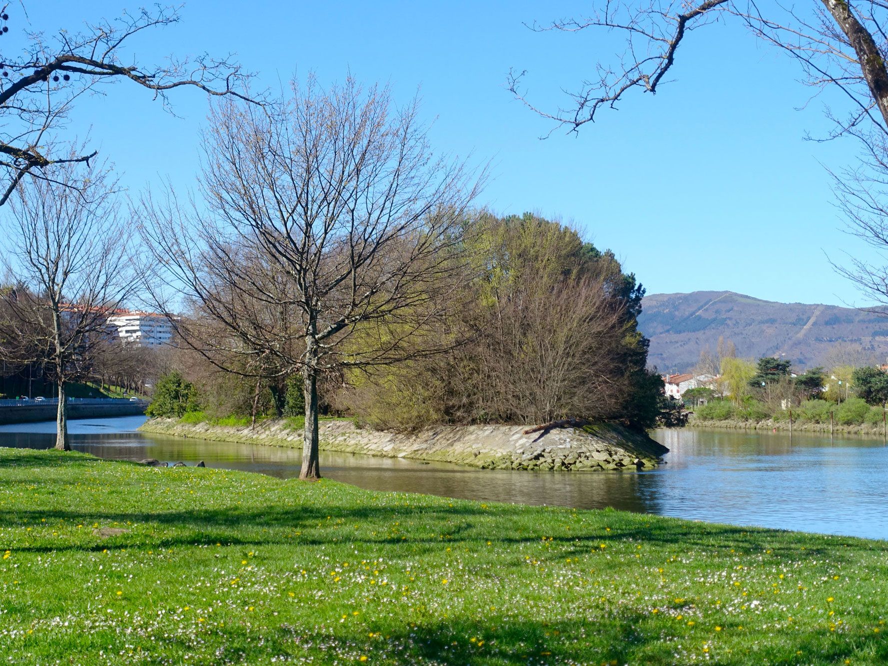
Pheasant Island – France/Spain

View of tiny Pheasant Island, which passes hands between France and Spain, from riverbank
Photo credit: Florence LASAGA/ iStock

Don’t blame this unusual 700-year-old joint custody agreement on the pheasants after which this tiny two-acre island is named — Pheasant Island’s position is purely the result of politics. After France and Spain’s Thirty Years War, the two countries needed a neutral spot to sign the Treaty of the Pyrenees.

They found it tucked in the middle of the Bidasoa River, on the border between southwestern France and northeastern Spain, and established a condominium there — a political territory that two or more sovereign powers agree to share. Since then, a ceremony at the six-month split has handed control of the uninhabited (visitors are forbidden) island back and forth more than 700 times. So far, so pleasant.

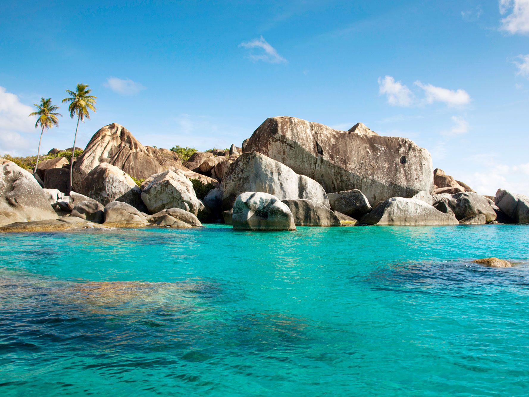
Virgin Gorda – British Virgin Islands

Beach boulders and translucent waters of Virgin Gorda in the British Virgin Islands
Photo credit: Image Professionals GmbH/ Alamy Stock Photo

Christopher Columbus may have been at sea a bit too long when he spotted the third-largest island (after Tortola and Anegada) in the Caribbean archipelago. After deciding that the island’s dramatic topography resembled a woman lying on her side, he named the chain Las Vírgenes” after Saint Ursula and the 11,000 Virgins. Today, tourists from all over the world come to admire the boulder-sheltered beach grottoes known as The Baths and toast the “fat Virgin” with planters punch at the Bitter End Yacht Club.

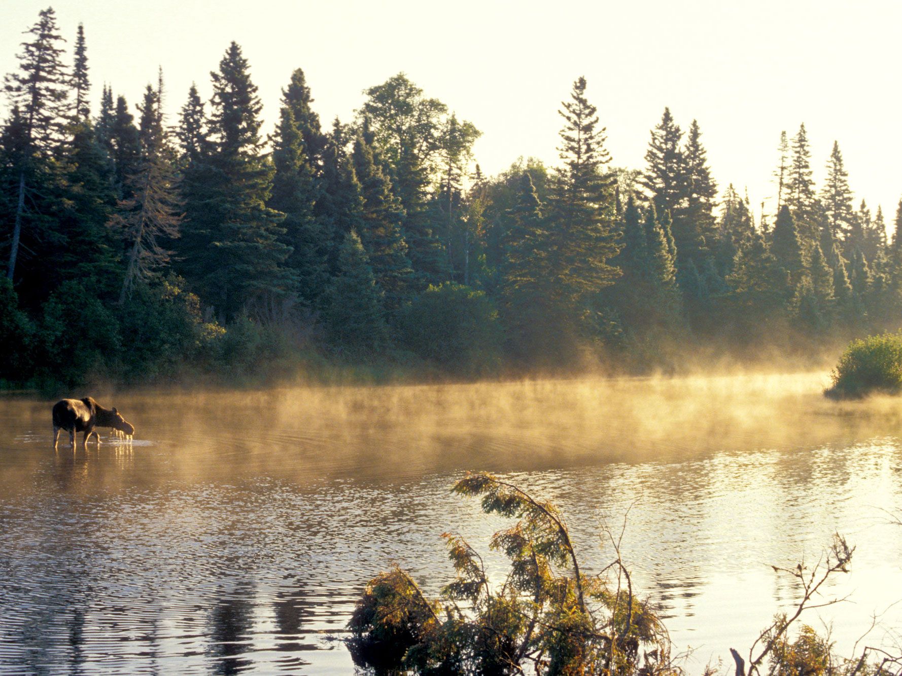
Isle Royale – Michigan

Moose wading in misty waters of Isle Royale, Michigan
Photo credit:  Jim West/ Alamy Stock Photo/

The Chippewa Native Americans called this island Minong, meaning “good high place,” but the 17th-century French Jesuit missionaries who came to the largest island in Lake Superior liked their monikers a little fancier. They renamed the island after their royal patrons. Today the “royal island” and the surrounding archipelago form Isle Royale National Park. Accessible only by boat or seaplane, this wild outcropping is home to beavers, moose, and the descendants of the Canadian grey wolves that crossed the frozen lake to emigrate there in the 1940s.

Post Banner Image
Culture

6 of Canada’s Most Beautiful Small Towns

By Daily Passport Team
Read time: 6 minutes
August 17, 2023
Updated: January 23, 2026

6 of Canada’s Most Beautiful Small Towns

By Daily Passport Team
Author
Daily Passport Team
Daily Passport writers have been seen in publications such as National Geographic, Food & Wine, CBC, Condé Nast Traveler, and Business Insider. They're passionate about uncovering unique destinations and sharing expert tips with curious travelers.

Canada is the world’s second-largest country by area, home to vast stretches of spectacular scenery, from rugged Arctic wilderness to the majestic Colorado Rockies and the awe-inspiring coastlines of the Maritimes. But Canada’s population of 38 million people is less than that of California alone, which means there are plenty of places for travelers to spread out and avoid the crowds — as long as you know where to look. Start by exploring six of Canada’s most beautiful small towns below.

Ucluelet, British Columbia

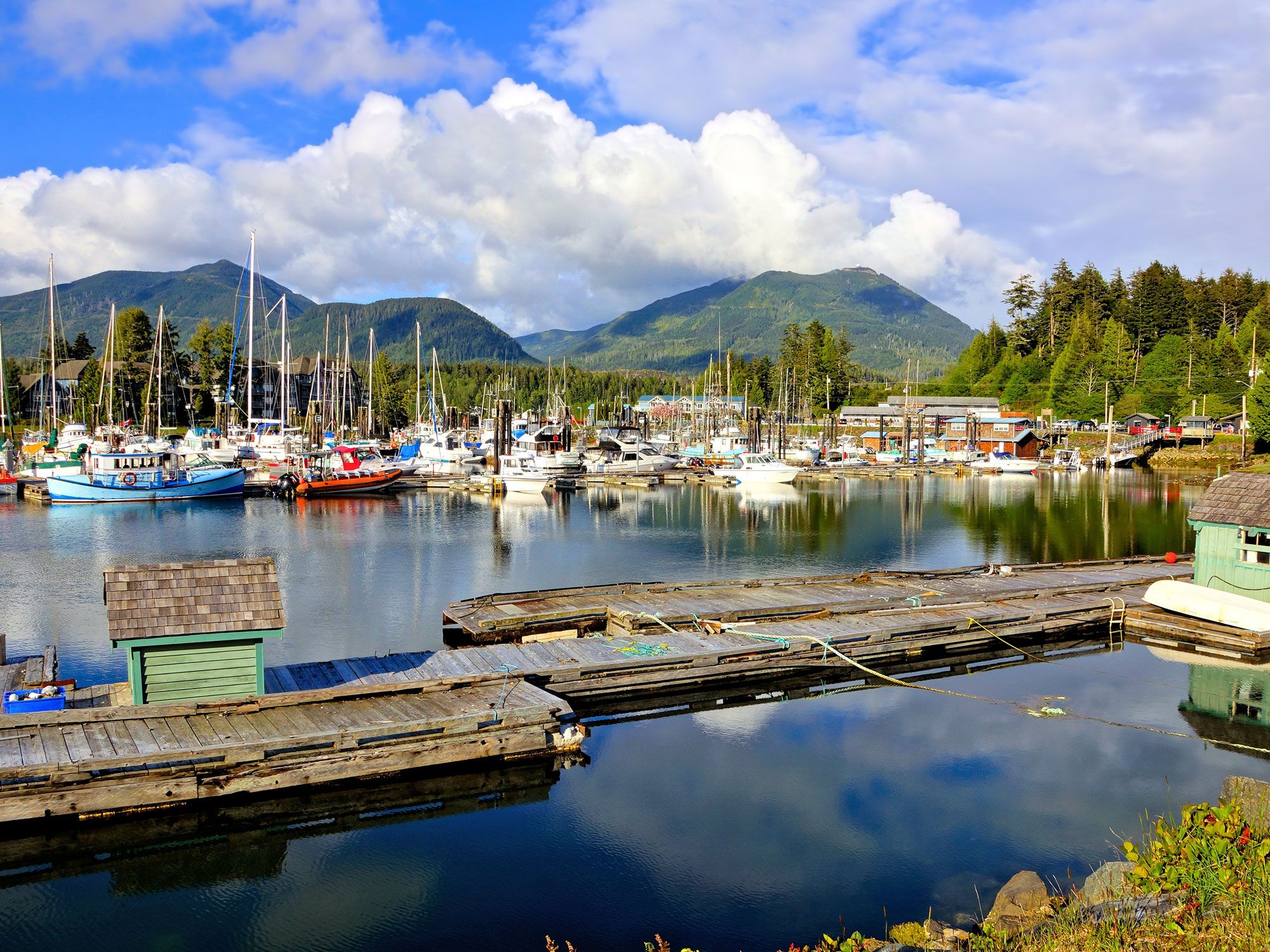
Marina of Ucluelet, British Columbia with mountains in background
Photo credit: JeniFoto/ Shutterstock

The resort town of Ucluelet sits on the southwestern coast of Vancouver Island, which many consider the crown jewel of British Columbia. This small port community is home to under 2,500 people, who enjoy a quiet lifestyle surrounded by untouched wilderness. Visitors can get their bearings with a walk around the Wild Pacific Trail, a gorgeous 1.5-mile loop that passes through coastal forest, bogs, and mudflats. Black bears roam the island’s temperate rainforest, whales and otters swim just offshore, and eagles soar overhead — making Ucluelet an ideal destination for wildlife tours

Visitors eager to further connect with nature should check out Pacific Rim National Park Reserve for epic hikes across 200 square miles of pristine landscapes. And while local surfers brave freezing temperatures in the winter to catch the best swell, visitors can take advantage of the warmer water in summer with a surf lesson at Long Beach, one of the most popular surf spots in Canada.

Ucluelet’s food scene awaits after you work up an appetite; choose from the tasty vegan café Yayu, artisan bakeries, seafood restaurants, bustling diners, and an assortment of food trucks parked around town. Splurge on a meal at Pluvio, Ucluelet’s award-winning eatery serving dishes made from seasonal and wild ingredients foraged in the area.

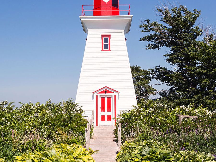
Victoria-by-the-Sea, Prince Edward Island

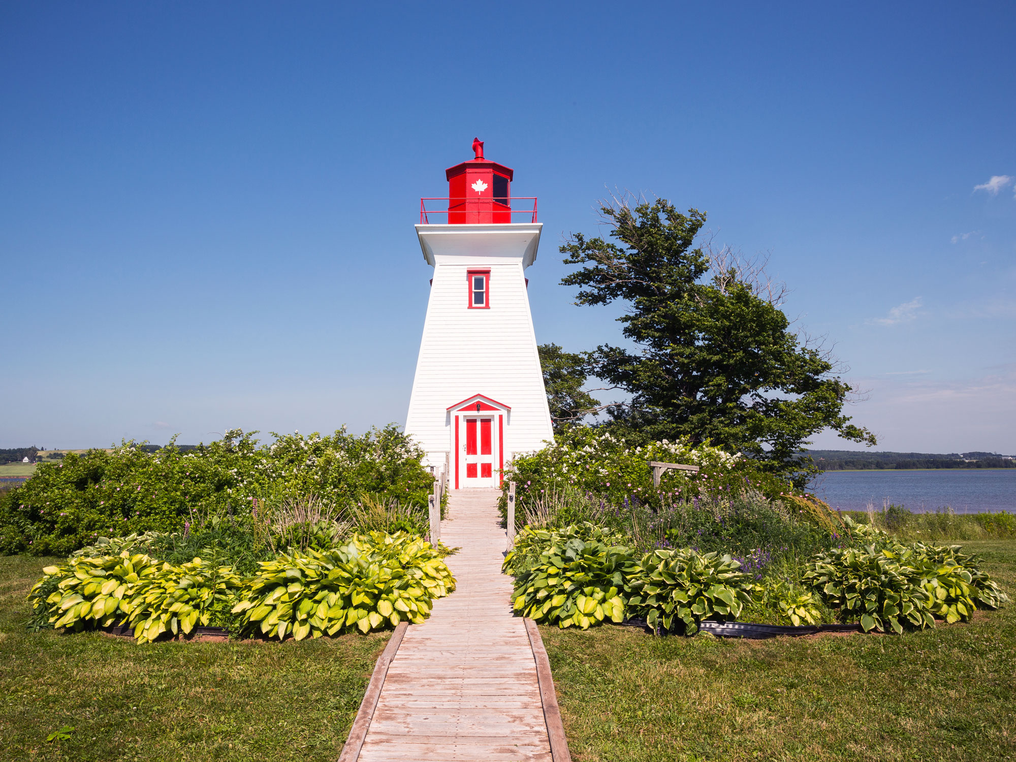
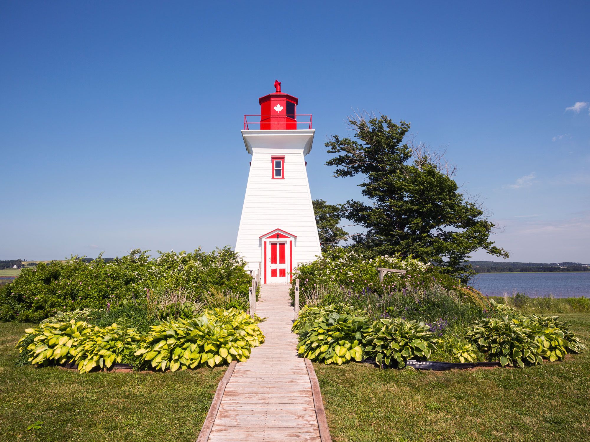
Lighthouse in Victoria-by-the-Sea, Prince Edward Island
Photo credit: chrisukphoto/ Shutterstock

This picture-perfect seaside village is home to many local artists and makers who draw inspiration from the rugged natural surroundings of Victoria-by-the-Sea. Visitors come to Victoria-by-the-Sea to splash in the bays and cruise the historic coastline. Must-stops include Palmer’s Range Light, a working 19th-century lighthouse that doubles as a maritime history museum. After, browse galleries like Michael Stanley Pottery for one-of-a-kind red stoneware and porcelain pieces, and the Studio Gallery for a collection of dreamy landscape prints and paintings.

Time on the water is time well spent in Victoria-by-the-Sea, so do as the locals do and paddle out on a clam-digging kayak excursion to harvest clams from the muddy shoals. It’s no surprise that seafood like oysters, lobsters, fish, and, of course, clams are the best foods to satisfy your hunger after a day on the water. When you’re ready for a meal, check out Landmark Oyster House and experience firsthand why Prince Edward Island’s premium shellfish is exported worldwide. Or feast on locally caught specialties at Richard’s Fresh Seafood and catch some rays on the restaurant’s back deck on the waterfront.

Mahone Bay, Nova Scotia

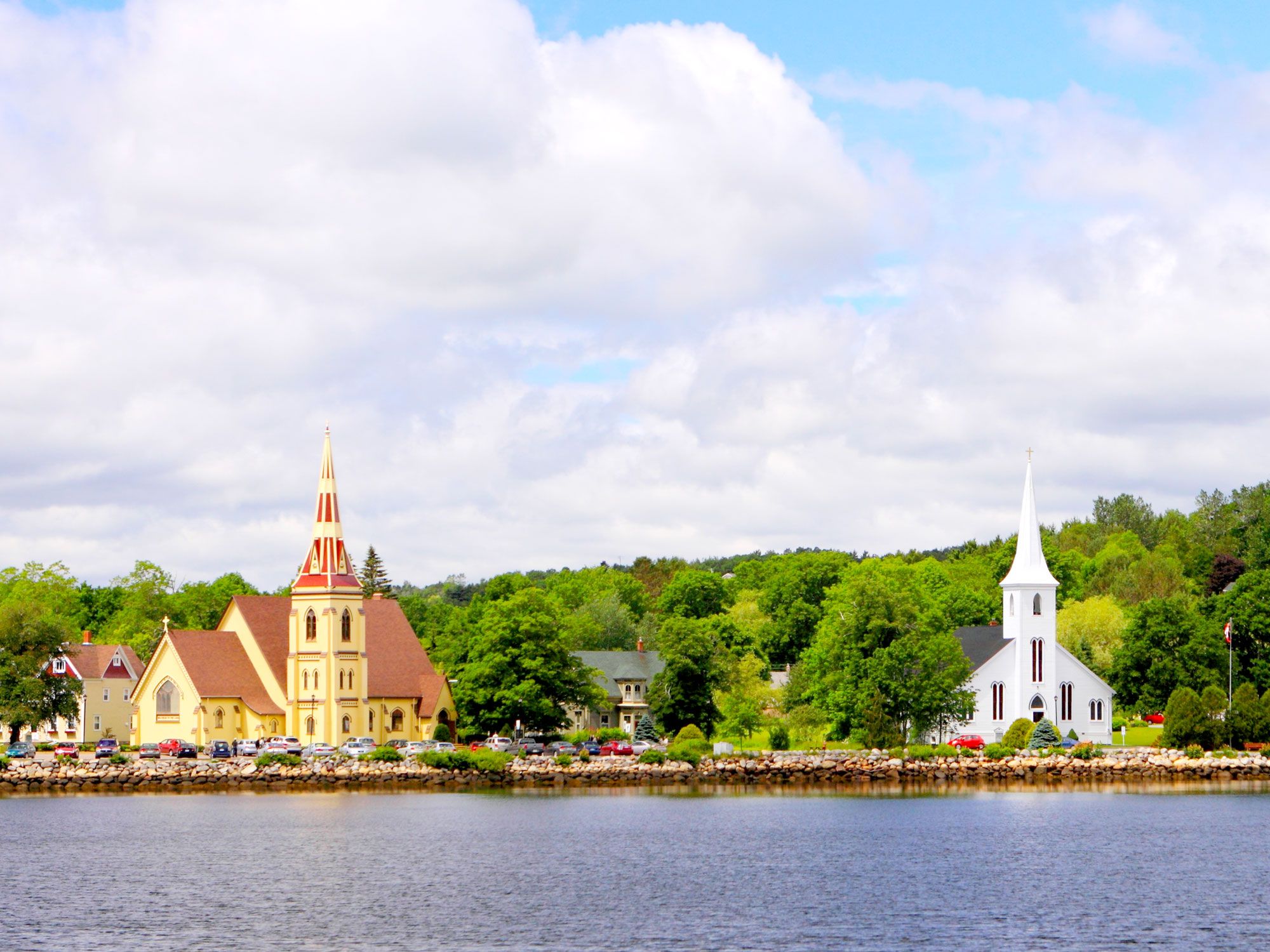
View of churches across the bay in Mahone Bay, Nova Scotia
Photo credit: gary yim/ Shutterstock

Just wandering around the quaint streets of Mahone Bay, a picturesque town on the South Shore of Nova Scotia, can put anyone’s mind at ease. Snap the obligatory tourist photo of the “Three Churches” from across the harbor, and then admire the architecture of St. James’ Anglican Church, St. John’s Evangelical Lutheran Church, and Trinity United Church as you walk down Edgewater Street.

Mahone Bay truly is a town of makers; entrepreneurs flock to the cozy hamlet to launch their start-up careers in art, handicrafts, and metalwork. Because of this influx, Mahone Bay is one of the fastest-growing municipalities in Nova Scotia. Browse the boutiques and galleries along Main Street and watch as artisans mold molten pewter into stunning jewelry, ornaments, and sculptures at Amos Pewter.

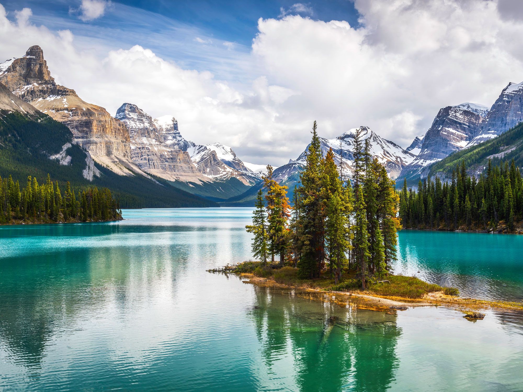
Jasper, Alberta

Mountains and lake outside of Jasper, Alberta
Photo credit: TempleNick/ Shutterstock

Though Jasper faced a devastating wildlife in 2024 that destroyed roughly 30% of structures in town, recovery efforts are well underway as the town continues to rebuild. This charming alpine town of roughly 5,000 year-round residents is nestled near Jasper National Park, an area home to glacier-fed lakes, dense forest, and rushing rivers. Many visitors to the national park use Jasper as a home base for exploring the surrounding wilderness. Soaring to the top of Mount Whistlers on the SkyTram puts the region in perspective and is a great way to get a lay of the land.

For more vistas, head to the Columbia Icefield Skywalk, a 0.6-mile walkway leading to a glass platform perched over a 1,000-foot drop with 360-degree views of the Sunwapta Valley, glaciers, and waterfalls. Experience the traditional culture of Jasper with a Fire Side Chat hosted by the Warrior Women and learn about the region’s Indigenous history through stories, drumming, and singing. And if you happen to visit in winter, there’s nothing more memorable than a dogsled tour through the stunning snow-covered terrain.

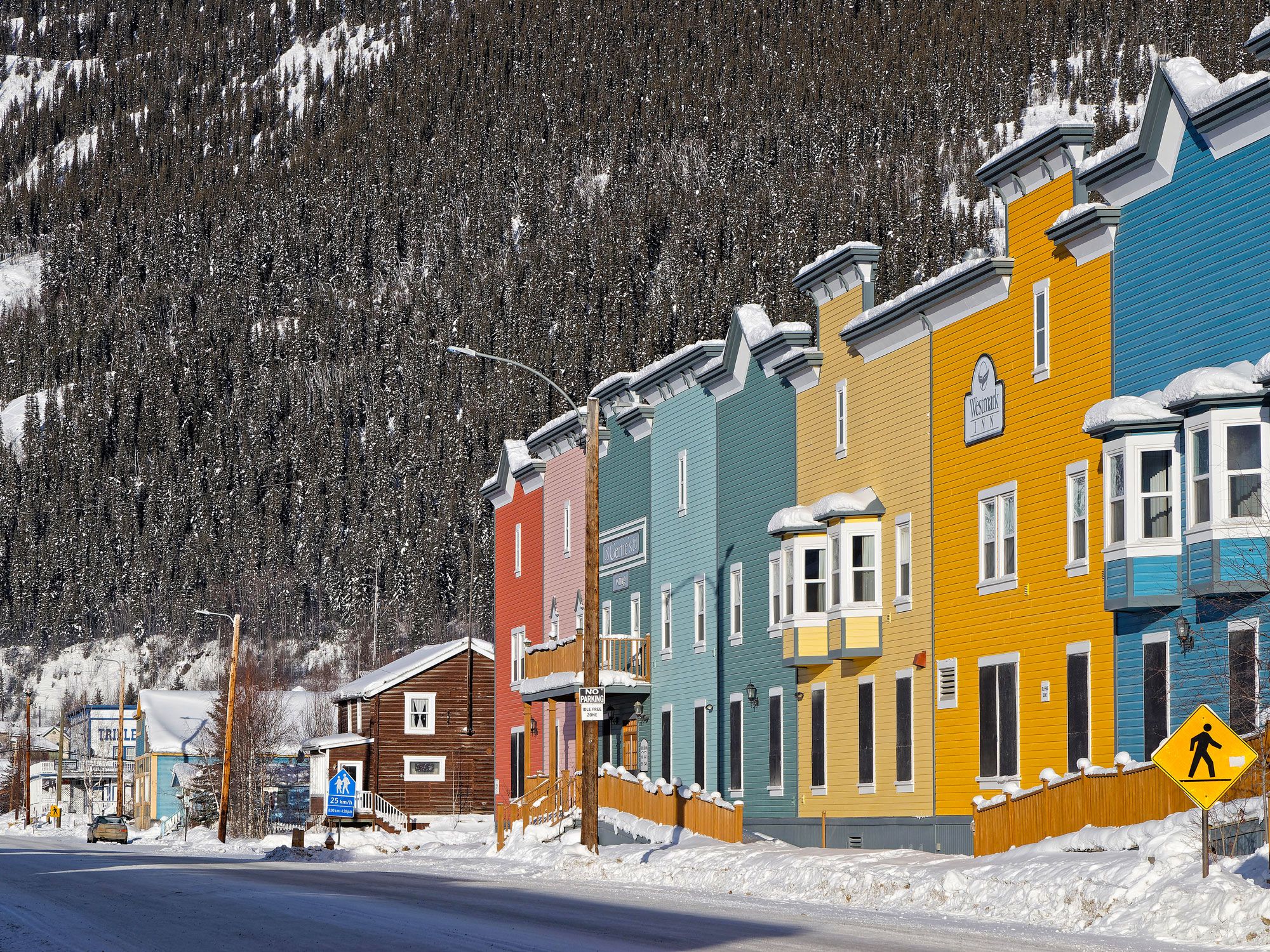
Dawson City, Yukon Territory

Colorful row homes next to forest-covered mountain in Dawson City, Yukon Territory
Photo credit: Pierre-Jean DURIEU/ Alamy Stock Photo

The former Klondike Gold Rush town on the Yukon River is still a prominent destination in northwestern Canada. Dawson City is best described as a historic hub surrounded by swaths of untouched forest. Acquaint yourself with the town’s history on a walking tour led by a 19th-century-clad guide who can get you up to speed on all of Dawson City’s secrets. Allow yourself to be transported to a time when the area was flush with gold as you wander past carefully preserved heritage buildings in downtown Dawson City, such as the Palace Grand Theatre and the Commissioner’s Residence.

If you’d prefer, hop on the Klondike Spirit, the only paddlewheeler in the Yukon, and enjoy a historic tour while you soak up the beautiful landscape along the river. The trip wouldn’t be complete without visiting the family-run Claim 33 Goldpanning and Jerry Bryde Klondyke Mining Museum, where you can learn how to pan for gold and even try the techniques for yourself in the nearby streams. Celebrate the success of your gold-panning mission at Sourdough Joe’s, named after one of the founding town members, with a battered fish sandwich and house-made chowder.

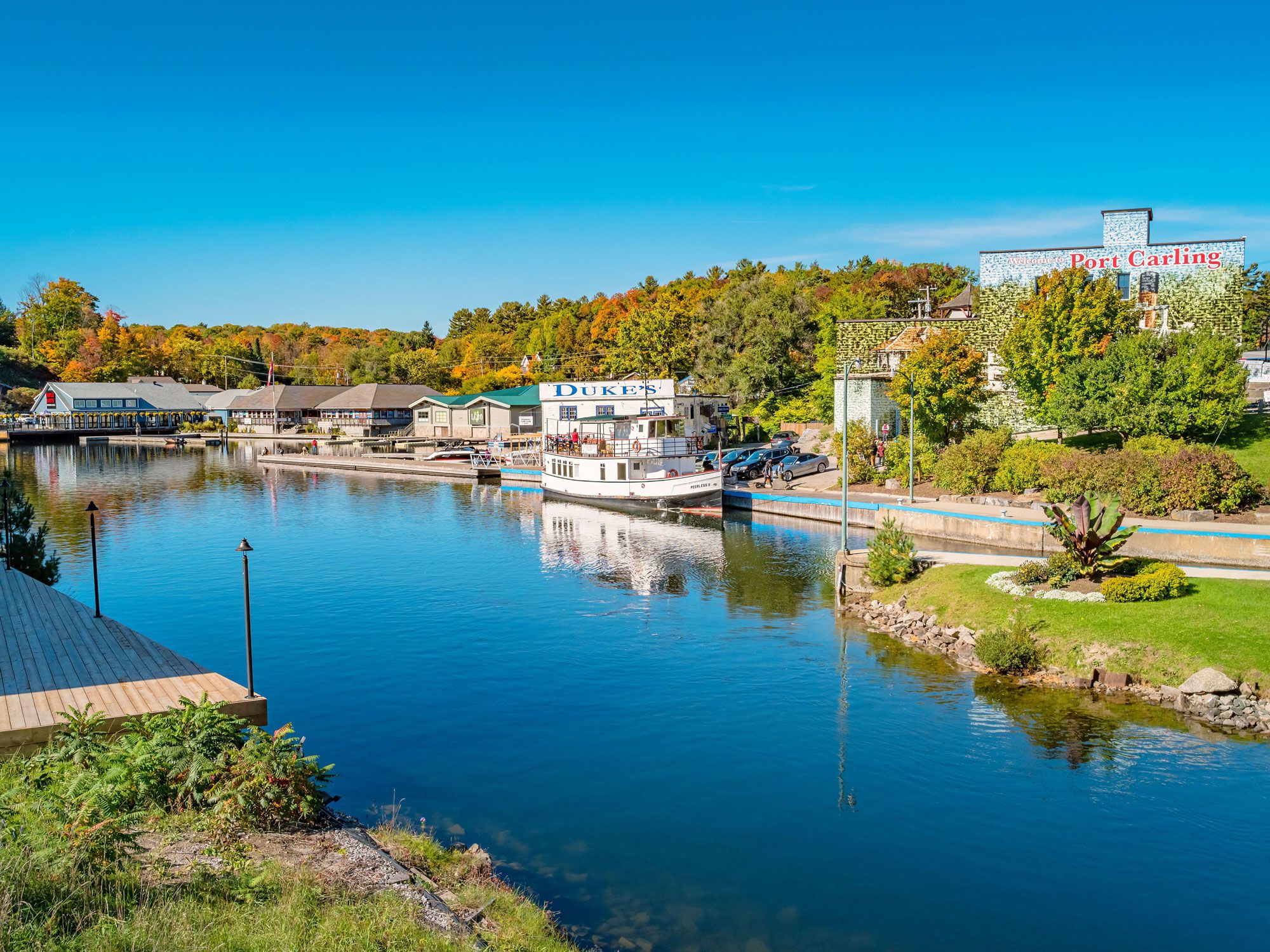
Port Carling, Ontario

Lakefront scene in Port Carling, Ontario
Photo credit: Arpad Benedek/ Alamy Stock Photo

Completely surrounded by lakes and rivers, the Muskoka District town of Port Carling is fittingly dubbed the “Hub of the Lakes.” The region gets plenty of recognition for its beauty, earning another nickname, “The Malibu of the North,” due to the number of celebrities who vacation there. It’s hard to resist the dockside shops of Port Carling, featuring cottage country-themed boutiques, fudge shops, and waterfront restaurants. It’s also impossible to miss the Port Carling Wall, a massive mosaic (100 feet tall and 45 feet wide) of individual photographs taken between 1860 and 1960.

Explore downtown Port Carling’s array of shops such as Muskoka Emporium and Red Canoe Gallery to ensure you’ll come home with authentic Canadian garb, furnishings, and crafts. The Muskoka Lakes Museum is a must-see for learning more about First Nations history and the area’s boat-building roots. There are plenty of ways to enjoy Port Carling’s spectacular scenery, but nothing beats a cruise around Lake Muskoka aboard the Lady Muskoka.

Post Banner Image
History

Where Are the World’s Oldest Botanical Gardens?

By Daily Passport Team
Read time: 6 minutes
August 17, 2023
Updated: August 18, 2023

Where Are the World’s Oldest Botanical Gardens?

By Daily Passport Team
Author
Daily Passport Team
Daily Passport writers have been seen in publications such as National Geographic, Food & Wine, CBC, Condé Nast Traveler, and Business Insider. They're passionate about uncovering unique destinations and sharing expert tips with curious travelers.

Since ancient times, gardens have been used to collect and cultivate plants. Botanical gardens began sprouting up in Europe as the study of botany developed during the Renaissance period. These gardens were often associated with universities and utilized for the academic study of medicinal plants. Today, there are more than 1,700 botanical gardens across the globe, which attract thousands of tourists with their rare, beautiful plant species and serene settings. Take a trip back in time at the world’s 10 oldest botanical gardens.

10. Oxford Botanic Garden – Oxford, England

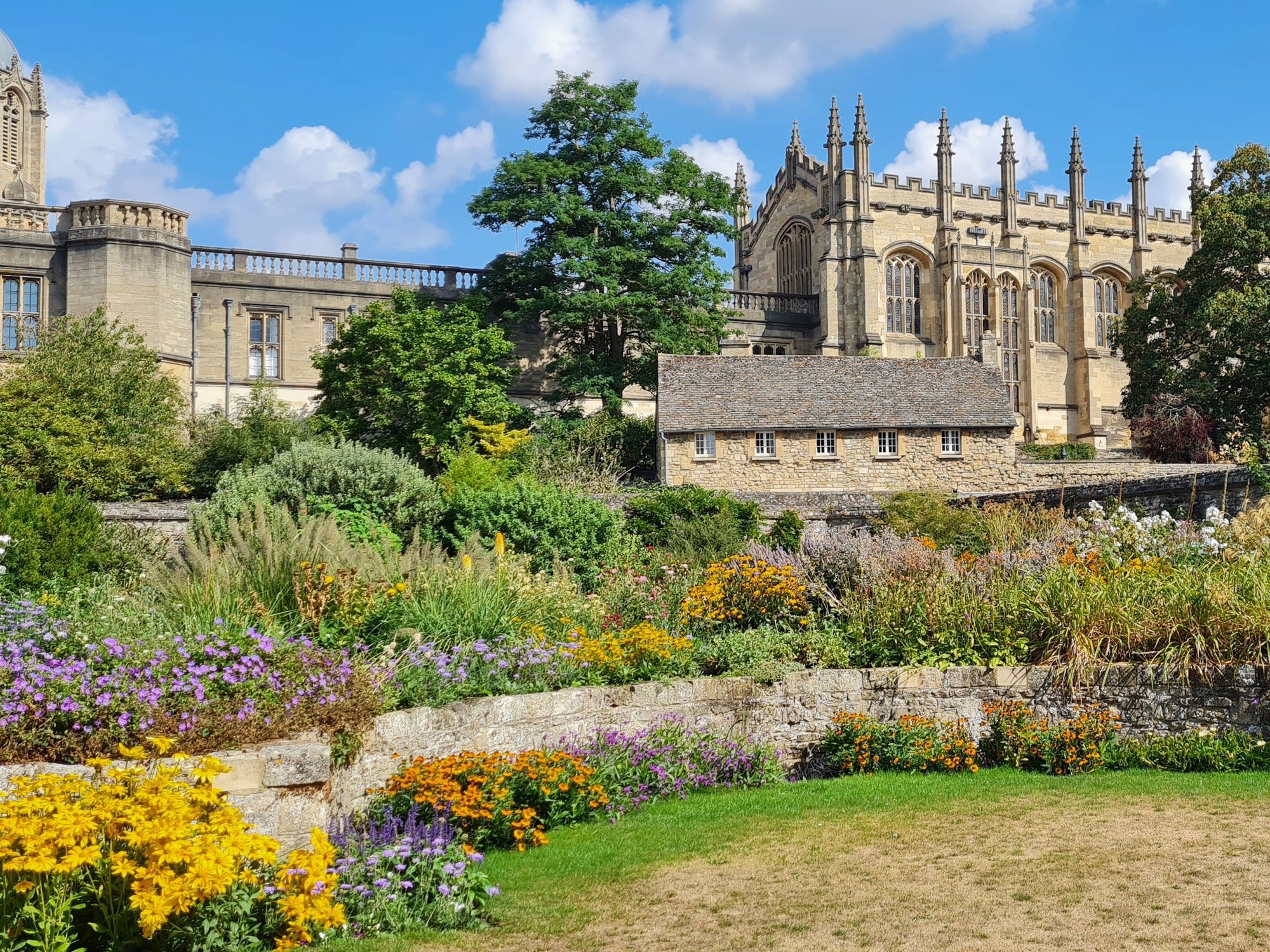
Colorful flowers and historic building at Oxford Botanic Garden in England
Photo credit: mayas.eyes/ Shutterstock

Nestled amid the historic college buildings of the University of Oxford, the Oxford Botanic Garden is Britain’s oldest botanic garden, founded in 1621. In its 400-year history, the garden has grown from a simple physic garden (an herb garden for medicinal plants) to an important educational facility that’s home to around 5,000 plant species. The five-acre site is split into three sections: Glasshouses; Walled Garden, and Lower Garden. One of the standout exhibits, “Plants That Changed the World,” showcases species used for fibers, foods, and medicines that have had a positive impact on global civilizations. The charming garden has also inspired English literary greats such as Lewis Carroll and J. R. R. Tolkien.

9. University of Copenhagen Botanical Garden – Copenhagen, Denmark

Flower-lined pathways at Copenhagen Botanical Garden
Photo credit: kainam/ Alamy Stock Photo

Copenhagen Botanical Garden spreads across 25 acres and is home to Denmark’s largest collections of living and preserved plants. It began as a modest hortus medicus (medical garden) in 1600 and has been at its current location since 1870. Part of the Natural History Museum of Denmark, the garden is famous for its glasshouses, which were funded by Carlsberg brewery founder J. C. Jacobsen. One of the most popular is the Palm House, inspired by the design of London’s Crystal Palace, where visitors can observe Mediterranean plants, mangroves, orchids, and brightly colored butterflies. Views from the house’s terrace overlook manicured lawns and the city’s iconic spires.

8. Jardin des Plantes Montpellier – Montpellier, France

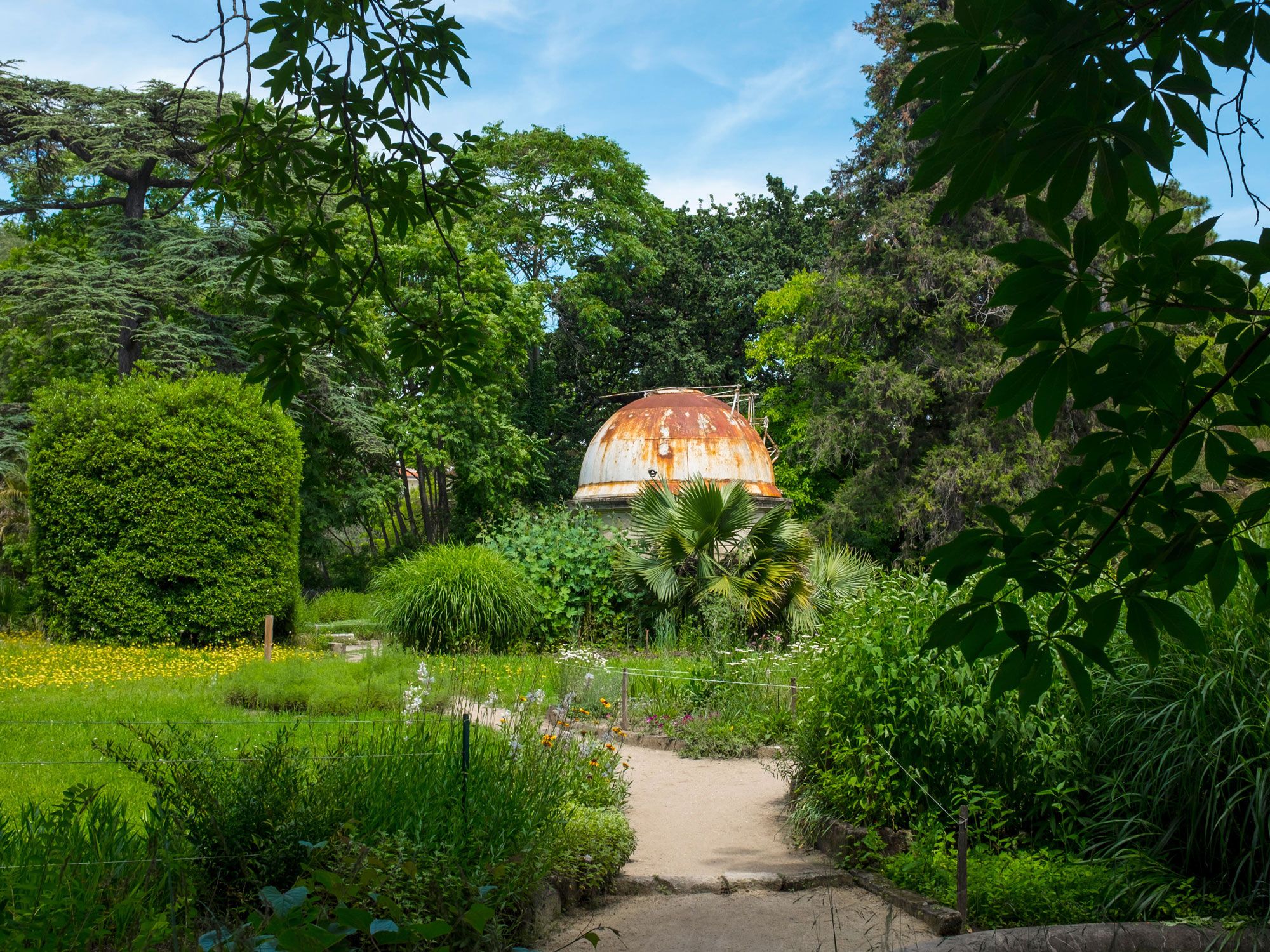
Domed structure surrounded by pathways and greenery at Jardin des Plantes Montpellier in France
Photo credit: deadlyphoto.com/ Alamy Stock Photo

The oldest botanic garden in France, the Jardin des Plantes Montpellier was a model for the more famous Jardin des Plantes de Paris. Pierre Richer de Belleval, the Father of Scientific Botany, designed the gardens in 1593 at the request of King Henri VI. A 2,680-strong collection of species includes everything from medicinal plants and succulents to cypress, gingko, and palm trees. Highlights include an English garden dissected by shaded pathways, a bamboo grove, and a tranquil lotus pond. French writer André Gide and poet Paul Valéry were frequent visitors to the garden.

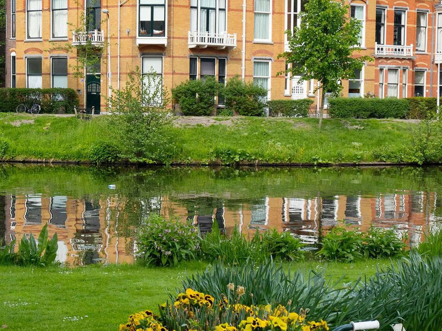
7. Hortus Botanicus Leiden – Leiden, The Netherlands

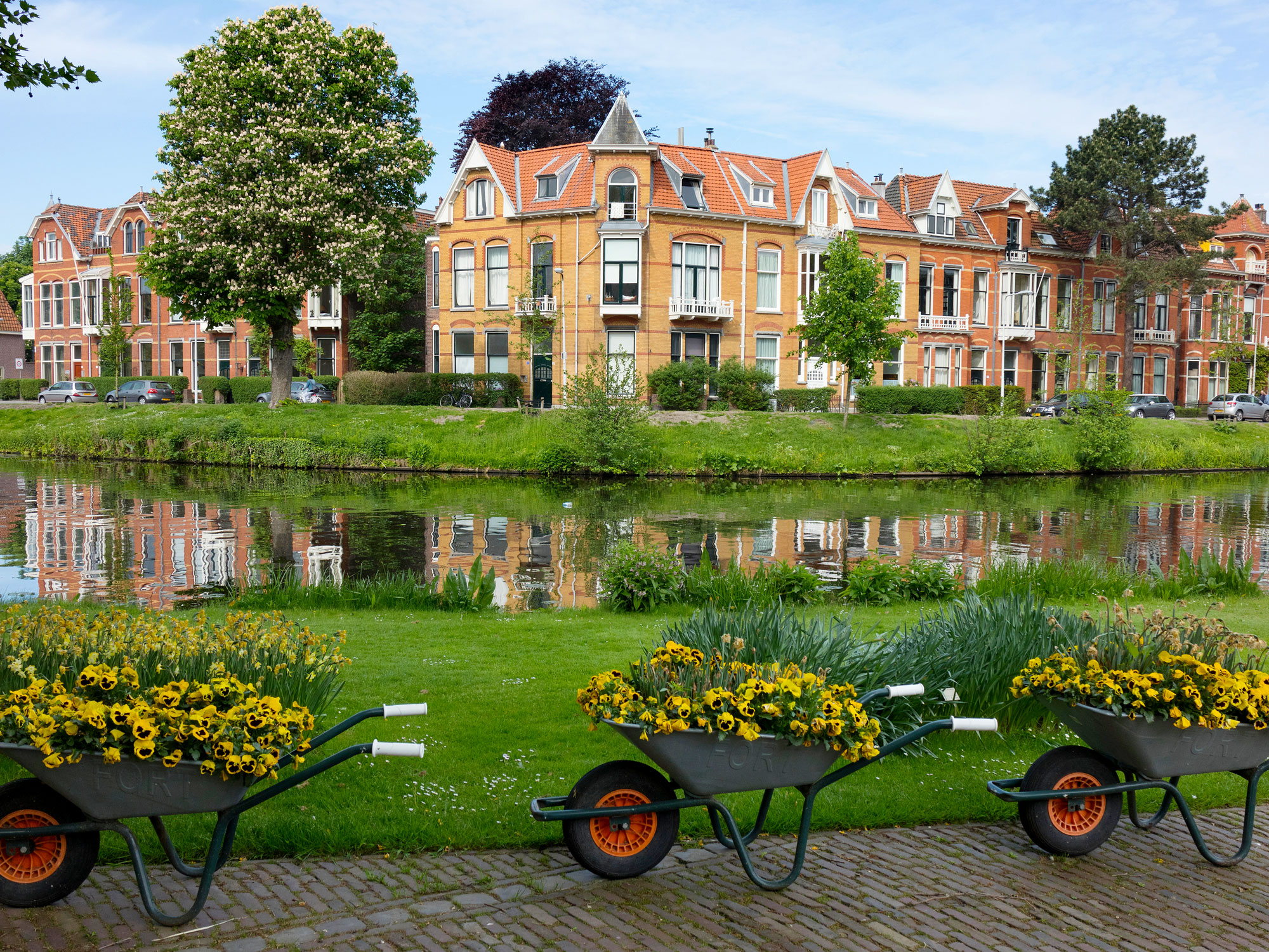
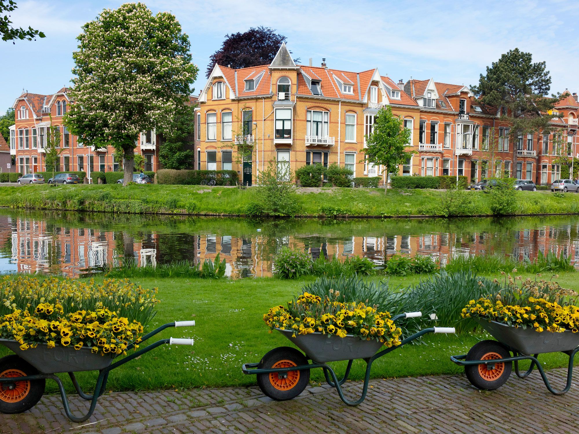
Canal lined with homes and flower-filled wheelbarrows in Leiden, the Netherlands
Photo credit: Picture Partners/ Alamy Stock Photo

Leiden University unveiled the first botanical garden in the Netherlands in 1590. The task of designing the Hortus Botanicus Leiden was given to pioneering Dutch botanist Carolus Clusius, who used his international contacts to collect plants and encouraged the Dutch East India Company to bring species from its colonies. Today, the Clusius Garden is a Renaissance-style garden that replicates the original hortus academicus. Around the various gardens and greenhouses, the hortus has an incredible collection of over 60,000 species, including the Victoria amazonica giant water lily and a climbing jade vine. There are also many examples of the Netherlands’ emblematic tulip and a vast collection of Asian orchids.

6. Botanischer Garten Jena – Jena, Germany

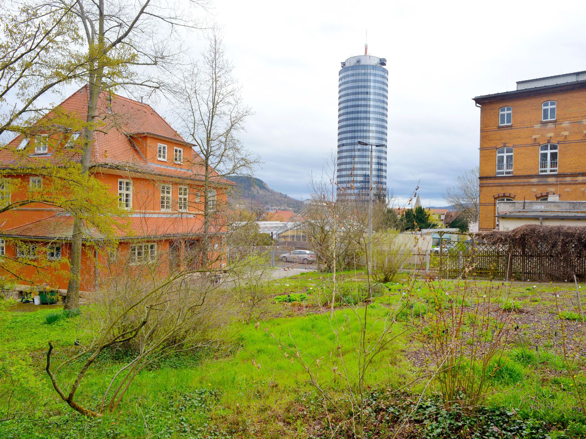
Garden surrounded by homes and a modern glass high-rise in Jena, Germany
Photo credit: Sinuswelle/ Alamy Stock Photo

Medical students first established an hortus medicus at the original campus of Friedrich Schiller University Jena in 1586. Werner Rolfnick, a physician who studied at the Orto Botanico di Padova, enlarged the garden in 1630, and expansion continued throughout the 17th and 18th centuries. In 1776, Goethe established Jena’s first botany institute. Goethe is also said to have sought inspiration for his poetry while visiting the garden. Today there are approximately 10,000 plant species on display at Botanischer Garten Jena in open-air sections and greenhouses. Besides plants, the garden has ornamental fish ponds and exhibitions by regional artists and photographers.

5. Botanischer Garten der Universität Leipzig – Leipzig, Germany

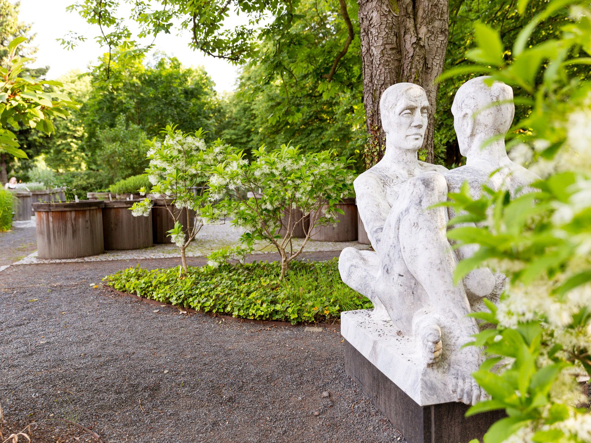
Statue and gardens at  Botanischer Garten der Universität Leipzig in Germany
Photo credit: Image Professionals GmbH/ Alamy Stock Photo

Officially established in 1580 as Germany’s first botanical garden, Leipzig Botanical Garden has a history thought to date back even further to 1542. The first record is of a medicinal plant garden associated with the former monastery of St. Pauli. After four relocations, the garden settled at its current site in 1877. Today there are 363 plant families on display, which is the equivalent of 65% of all families worldwide. The exhibits here trace an incredible 200 million years of plant evolution. Several greenhouses contain plants from tropical and subtropical regions such as Africa, Australia, and the Mediterranean.

4. Jardí Botànic de la Universitat de València – Valencia, Spain

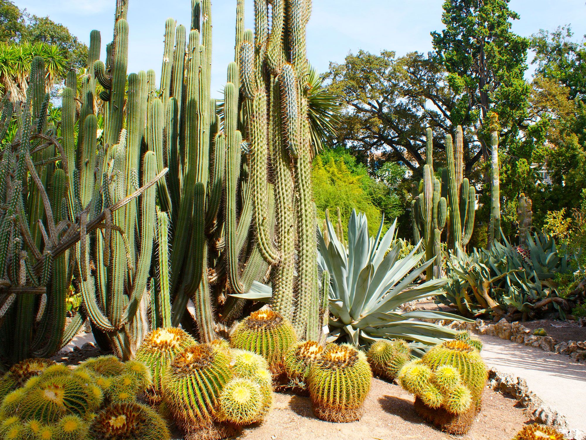
Cactii garden at Jardí Botànic de la Universitat de Valéncia, Spain
Photo credit: Tiffany Lacey/ Alamy Stock Photo

Since its formation in the 16th century, the Jardí Botànic de la Universitat de Valéncia has lived a nomadic life. Botany professor Joan Plaça was given the original land for the purpose of teaching students about medicinal plants in 1567. The garden moved twice in the 1600s and eventually opened at its present-day location in 1806. Wars and a flood brought destruction to the garden in the 1900s, but restoration and improvement programs have taken place since. Presently, the garden houses more than 4,500 plant species arranged in 27 collections. You’ll find palm trees and orchids alongside Macaronesian and Mediterranean flora.

3. Orto Botanico di Firenze – Florence, Italy

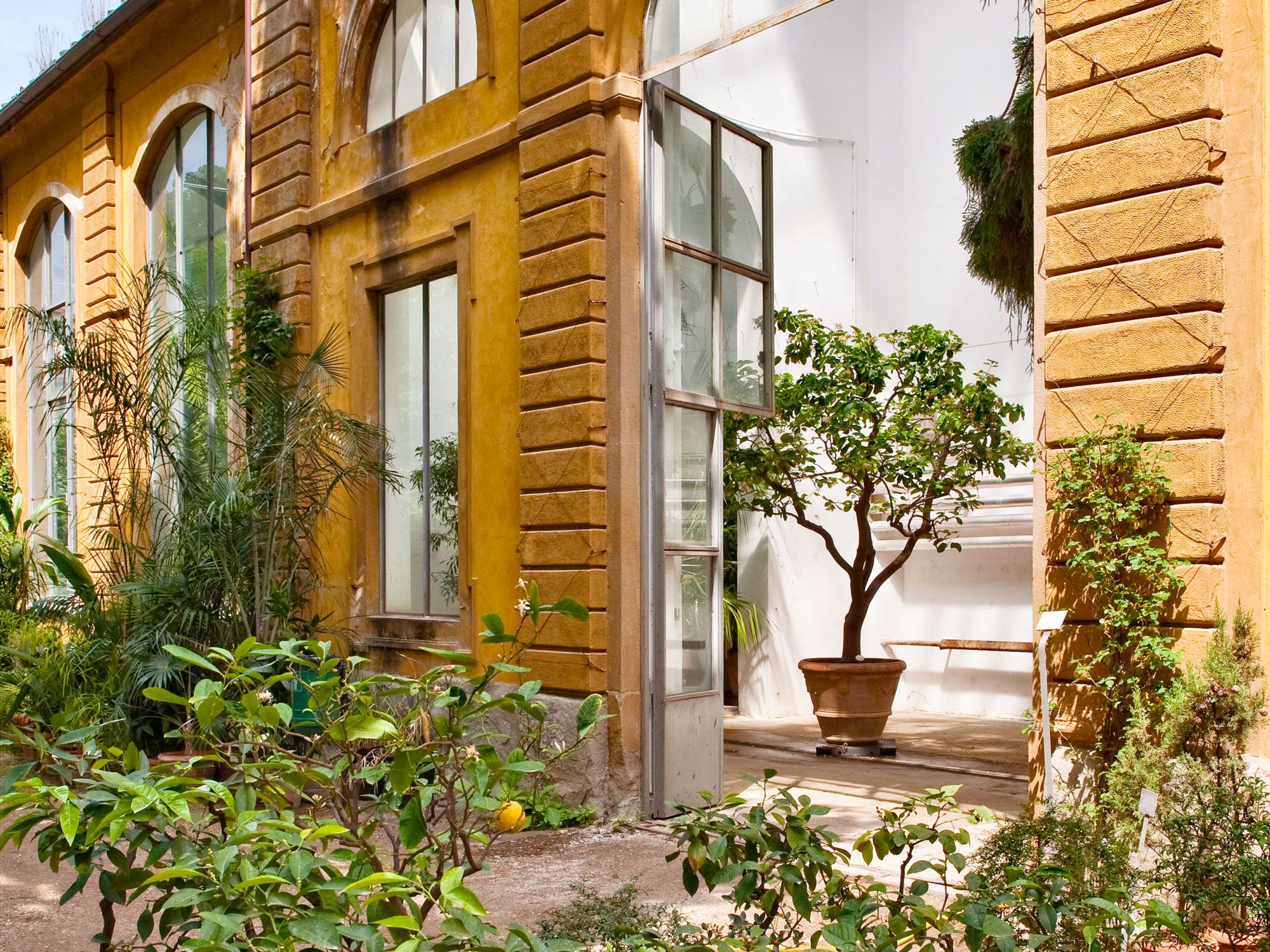
Windows decorated with plants in Florence, Italy
Photo credit: Alex Ramsay/ Alamy Stock Photo

Inaugurated in 1545, the Orto Botanico di Firenze is part of the legacy bequeathed by Cosimo I De’Medici, the Grand Duke of Tuscany. The orto covers around five acres of indoor and outdoor areas in the historic heart of Florence. Artist Niccolò Pericoli and botanist Luca Ghini were responsible for the initial design, which Pier Antonio Micheli improved upon in the 1700s. A vast collection — some 9,000 plant species — includes carnivorous, edible, and poisonous plants; exotic palms; and a zen garden. The garden is also a wildlife haven for heron, owls, amphibians, and squirrels. Visually impaired visitors can enjoy the garden’s aromas and sounds along an interactive trail complete with Braille maps and signs.

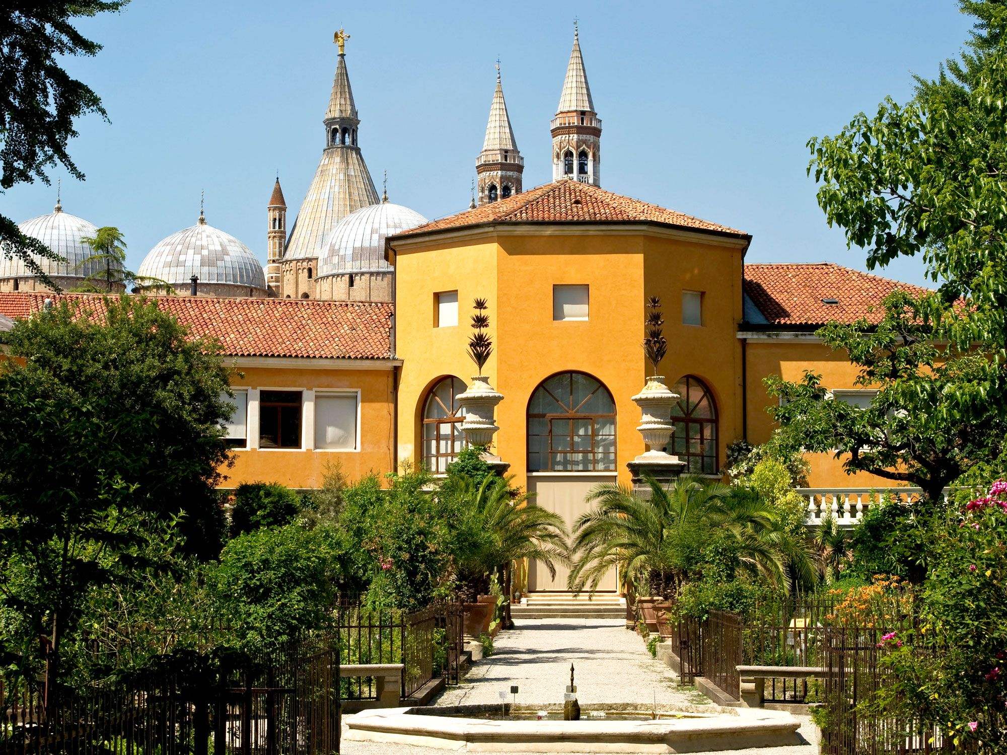
2. Orto Botanico di Padova – Padova, Italy

Fountain and tree-lined pathway leading to yellow building at Orto Botanico di Padova, Italy
Photo credit: Alex Ramsay/ Alamy Stock Photo

In 1545, the Senate of the Venetian Republic established the Orto Botanico di Padova. This UNESCO World Heritage Site is often cited as the world’s oldest botanical garden to remain at its original location. It has a circular layout, which symbolizes the earth at the center, and an encircling waterway, which represents the oceans. Some 3,500 plant varieties are split between outdoor gardens and a solar-powered Biodiversity Garden. Visitors will find everything from Mediterranean palms to Himalayan cedars and a dawn redwood. The gardens feature artistic touches throughout, including a stone fountain dedicated to Theophrastus, the father of botany. Curiously, the outer wall was created to prevent thieves from stealing valuable plants.

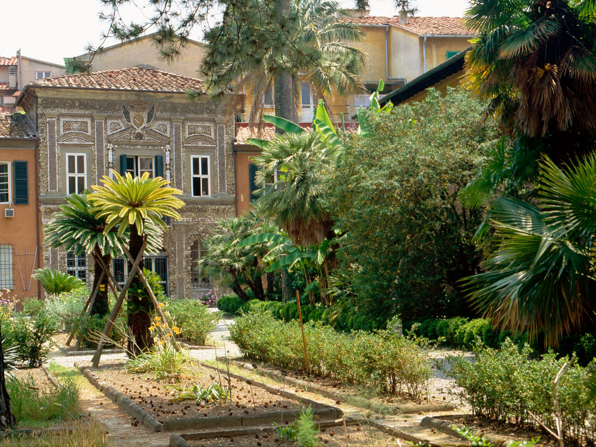
1. Orto Botanico di Pisa – Pisa, Italy

Gardens of Orto Botanico di Pisa in Italy
Photo credit: Alex Ramsay/ Alamy Stock Photo

The world’s first recorded botanical garden was established in 1543 as part of the University of Pisa. Orto Botanico di Pisa is another lasting legacy of Cosimo I De’Medici, who entrusted the acclaimed Italian physicist and botanist Luca Ghini to design the garden. One of Ghini’s most notable creations was the herbarium, which he used to study a variety of plants during the off-season. First situated on the banks of the Arno River, the garden moved in 1563 and again in 1591 to its current location. Today it features themed displays, gardens, ponds, and a museum. Among its collection are ancient Gingko trees, edible wild plants, and around 200 species of succulent plants.

Post Banner Image
Culture

5 Famous Food Festivals Around the World  

By Jersey Griggs
Read time: 5 minutes
August 17, 2023
Updated: August 18, 2023

5 Famous Food Festivals Around the World  

By Jersey Griggs
Author
Jersey Griggs
Jersey is a travel and lifestyle writer whose work has appeared in publications such as Condé Nast Traveler, Business Insider, and Bust. When she’s not exploring her adopted home state of Maine, she’s likely planning her next big trip.

For many travelers, the best way to explore a destination is through its food. Food festivals take that notion to the next level — often, they are full-sensory experiences that combine local flavors and cultural traditions in a communal celebration. From throwing tomatoes to making giant omelets, these five famous food festivals are bucket-list experiences for any food-focused traveler.

La Tomatina – Spain

Festival goers throwing tomatoes at La Tomatina festival in Spain
Photo credit: JackF/ iStock

To partake in the time-honored tradition of La Tomatina, thousands of people gather in Buñol, Spain, on the last Wednesday in August — not to eat tomatoes, but to throw tomatoes. According to local tradition, the festival began in 1945 when a food fight erupted during a local parade, and it has since exploded in popularity, now drawing participants from around the globe.

Billed as the “world’s largest food fight,” the festival follows the same schedule every year. First, the crowd gathers as truckloads of tomatoes are offloaded in the town square. Then, a single brave soul climbs to the top of a greased-up wooden pole where a Spanish ham awaits. Once the ham is retrieved, water cannons are fired and the tomato throwing begins, lasting for exactly one hour.

After the last tomato is thrown, trucks spray down the streets and many participants wash in the river. Goggles are required to participate, and since the festival is capped at 20,000 people, tickets should be purchased well in advance. In 2022, a whopping 27,000 pounds of tomatoes were tossed around the streets of this small city in eastern Spain that is home to just 9,000 people.

Pahiyas Festival – The Philippines

Traditional "kiping" decoration at the Pahiyas Festival in the Philippines
Photo credit: Peter Treanor/ Alamy Stock Photo

One of the largest harvest festivals in the Philippines, the Pahiyas Festival takes place annually on May 15 in the town of Lucban, about 2.5 hours southeast of the capital of Manila. Also known as the Feast of San Isidro, Pahiyas is a celebration of thanksgiving, honoring both the bountiful harvest and the patron saint of farmers, San Isidro de Labrador. 

The festival began in the 16th century with farmers gathering to celebrate their harvests by enjoying a large meal together. Today, Pahiyas serves as an opportunity for farmers to show off their crops, which often include rice, peppers, radishes, and chayote. Food vendors also sell local delicacies, such as pancit habhab (fried rice noodles) and Lucban pilpat (squash dipped in caramelized sugar).

The festival’s main event is a parade through the town of Lucban, led by the image of San Isidro. The route changes annually, so each house can get the opportunity to show off its kiping, which are traditional decorations constructed of rice, fruits, plants, and vegetables. Perhaps the most essential part of the festival, these elaborate ornaments are hung throughout town as a way to celebrate and honor the harvest. 

Maslenitsa Pancake Festival – Russia

Performers in costume at the Maslenitsa Pancake Festival in Russia
Photo credit: Maria Argutinskaya/ Alamy Stock Photo

Popularly known as “Pancake Week,” the Maslenitsa Pancake Festival celebrates the end of winter. Held annually on the last week before Great Lent in the Eastern Orthodox religion, the festival combines both pagan and Christian traditions. As its name suggests, the centerpiece is the cooking and eating of pancakes, or blinis — as their shape represents the sun, warmth, and the passing of the season.

The pancakes — which are served with toppings such as caviar, salmon, sour cream, and honey — are an opportunity for Russians to eat as much as they want before sticking to the dietary restrictions required during Great Lent. The festival is observed throughout Russia, but the biggest celebration occurs in Moscow, where traditional Russian costumes are encouraged and different themes are attached to each day. As the week progresses, the celebrations grow bigger, culminating in a final day of forgiveness, during which people forgive each other of their wrongs by burning a straw doll.

Pizzafest – Italy

Panorama of Naples, Italy
Photo credit: Alessandro Tortora/ Shutterstock

As the birthplace of pizza, Naples is a fitting location for Pizzafest — billed as the largest celebration of pizza in the world. The festival hosts more than a million people annually, who travel from across the globe to cook and eat the beloved dish. Throughout the 11-day festival each June, roughly 100,000 pizzas are cooked and consumed, averaging about 9,000 pizzas per day. 

Pizzafest brings together expert pizza makers in a competition of the best of the best, including the most recognized pizza chefs in Naples. Of course, pizza is served everywhere throughout the festival, and competitions involve crowd participation to vote on the best pizza. 

With its own dedicated space in the Naples Pizza Village, the festival also includes pizza-making workshops, entertainment programs, and live music. When the sun goes down, Pizzafest turns into a lively celebration, with guests singing, dancing, and eating throughout the night.

Giant Omelet Celebration – France

Canal winding through French village of Abbeville
Photo credit: Imladris/ Shutterstock

The Giant Omelet Celebration has a storied past: As legend has it, in the early 19th century, Napoleon Bonaparte was marching his troops through the South of France when they stopped to spend the night in a small town. After enjoying an omelet at the local inn, Napoleon ordered for all the eggs in town to be gathered so a giant omelet could be cooked and served to his army.

Today, the making of the giant omelet has become an annual tradition in the town of Abbeville. Every year in early November, the town invites chefs from its international sister cities (including Quebec City, Canada; Pique, Argentina; and Malmede, Belgium) to travel to France to make a giant omelet together. 

The making of the giant omelet is the culmination of a two-day festival, which includes events such as an egg-cracking competition and a food show. Before the 5,000 eggs (plus one for each year since the festival began in 1985) are cracked into the giant pan, the international chefs hold a procession to the town square. Once the giant omelet is cooked, it is portioned and served to festival goers.