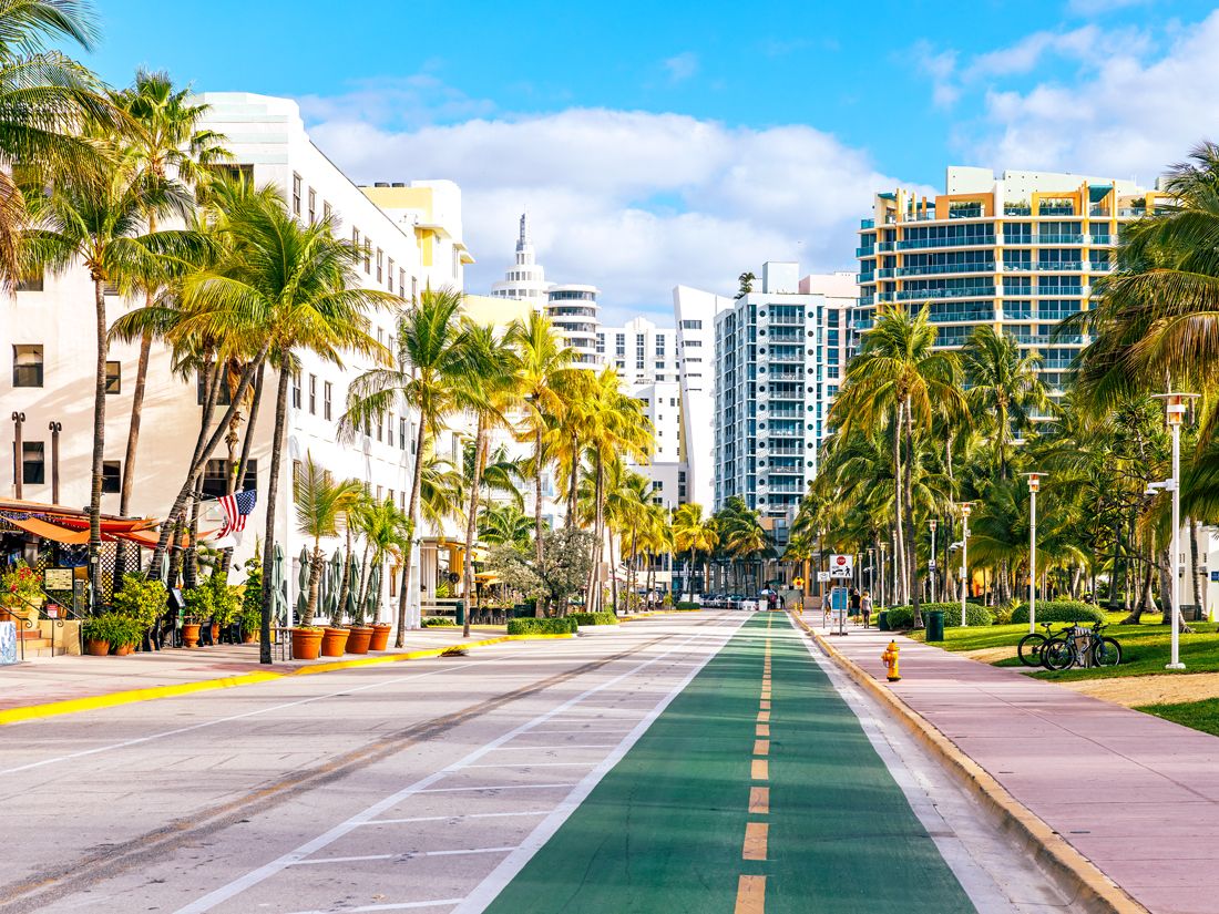
8 States With the Cheapest Gas for a Road Trip
8 States With the Cheapest Gas for a Road Trip

With quirky roadside stops, jaw-dropping natural landscapes, historic sites, and famous landmarks, the U.S. is undoubtedly one of the best locales for adventurous road-trippers. But with 50 states to choose from, deciding where to travel can be overwhelming. One way to make the decision easier? Choosing a highway adventure that won’t break the bank. According to the AAA, the following states have gas prices well under the national average. So, full speed ahead for these eight epic — and inexpensive — road trip destinations in the U.S.
8. Arkansas

State average: $2.824 per gallon (prices accurate as of September 2024)
Road-trippers searching for both natural beauty and affordable gas prices need look no further than Arkansas, nicknamed “the Natural State” for good reason. Start with a drive through the Ozark Mountains, home to 1.2 million square acres of protected forests and mountain hiking trails. If you find yourself north of the Ozarks, head to Bentonville, home of Walton’s — Sam Walton’s first dime store, which would later become retail giant Walmart. Today, the original building is home to the Walmart Museum.
Just outside the capital city of Little Rock, you’ll find Hot Springs National Park. Situated in the namesake town of Hot Springs, the park features well-preserved 20th-century bathhouses that are perched over natural springs long said to have healing powers. Spend a day hiking before relaxing in one of the modern versions of these historic thermal bathhouses.
7. Louisiana

State average: $2.803 per gallon
No trip to the Gulf Coast state of Louisiana would be complete without visiting the Big Easy, and, thankfully, it’s relatively affordable to do so thanks to the state’s low gas prices. Start off with a night out in the lively French Quarter neighborhood of New Orleans. From there, visit Louisiana’s castlelike Old State Capitol building in Baton Rouge or take a swamp tour in Lafayette.
Just outside of Lafayette, be sure to stop at Avery Island, the birthplace of Tabasco sauce, to enjoy a history-filled factory tour before hitting the road again. If hunger strikes on the road, head to the nearest town to try some authentic Creole and Cajun cuisine — staples include gumbo, jambalaya, and beignets.
6. South Carolina

State average: $2.796 per gallon
A road trip down the Atlantic Coast of South Carolina is worthy of an entire vacation, but luckily it will be a wallet-friendly one. From family activities along Myrtle Beach’s boardwalk to the quiet sunsets and pristine golf courses of Isle of Palms, there’s something in South Carolina for every type of traveler. This is also one of the most ecologically diverse states in the South, so don’t miss the opportunity to drive further inland.
In the heart of South Carolina lies Congaree National Park, a hardwood forest perfect for kayaking and canoeing. And in the northwest corner of the state are the Blue Ridge Mountains, a region dotted with charming mountain towns waiting to be explored by outdoorsy road-trippers.
5. Texas

State average: $2.793 per gallon
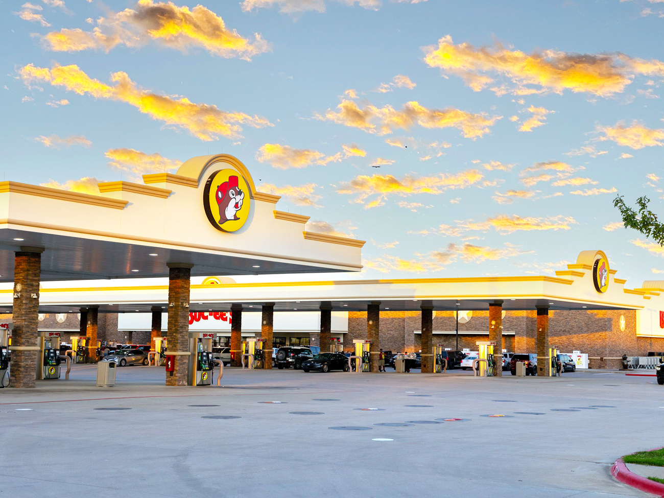
As the largest state by area in the lower 48, Texas has a lot of ground to cover. Road-trippers can start the journey with an American road trip essential: Buc-ee’s. Founded in Texas, this gas station chain is known for its lovable beaver mascot and sprawling aisles of snacks and convenience items. Its location in Luling (between San Antonio and Austin) is also the current record holder for the world’s largest convenience store.
The Lone Star State has no shortage of other famous attractions, from quintessential stops like the San Antonio River Walk and the Alamo historical site to the country’s largest state fair, the State Fair of Texas, held in Dallas every fall. Still, some of Texas’ most interesting roadside sights might be lesser-known stops, such as the colorful Cadillac Ranch and the indulgent Big Texan Steak Ranch, both located in Amarillo.
4. Alabama

State average: $2.786 per gallon
Alabama offers the nation’s fourth-lowest gas prices on average, making the state a worthy contender for your next budget-friendly road trip. Begin with a stop in Huntsville, Alabama’s northernmost major city, to take in one of the world’s largest collections of rockets and extraterrestrial artifacts at the U.S. Space and Rocket Center. Farther south, Birmingham boasts many cultural and historic sites, including the Birmingham Botanical Gardens and the Civil Rights Institute, a history museum with artifacts from Martin Luther King Jr. and other prominent civil rights leaders.
If you’re a road-tripper who aims to visit every state capital, the magnificent domed Alabama State Capitol building in Montgomery is a must-see. Meanwhile, the state’s Gulf Coast is the perfect place to wind down after a busy trip. But if you’re looking for something a little more lively, head to the Gulf Shores or Orange Beach to see why spring breakers flock to this coastline annually.
3. Tennessee

State average: $2.783 per gallon
Tennessee is not only a music lover’s dream, but it’s also an affordable road trip destination. It’s home to the epicenter of country music in Nashville, including the Grand Ole Opry and the Country Music Hall of Fame. Tennessee’s state capital isn’t only for music, though — professional football and hockey games and a diverse culinary scene make it a destination for many other interests. (Make sure not to leave without trying the famous Nashville hot chicken.)
Other musical stops on the Tennessee tour include Elvis’ Graceland mansion outside Memphis and Dolly Parton’s Dollywood theme park in Pigeon Forge. As you travel the Volunteer State, you’ll also be able to take in the breathtaking scenery, including that of Great Smoky Mountains National Park in eastern Tennessee, which boasts unbeatable mountain views at every turn.
2. Oklahoma

State average: $2.766 per gallon
If you’re driving through Oklahoma, you’ll likely find yourself on Historic Route 66, which connects the state’s two largest cities, Tulsa and Oklahoma City. This well-preserved piece of Americana is perhaps the perfect route for a road trip — particularly if you’re a history buff. Travelers can learn more about the highway at the National Route 66 Museum in Elk City.
Another interesting Route 66 attraction, the National Cowboy and Western Heritage Museum, is located just north of Oklahoma City — a place that has been essential to Western culture, especially films and music. Throughout the Sooner State, you’ll also encounter cultural attractions, landmarks, and museums from the 67 Native American nations that call this state home. Consider stopping and learning more about their rich heritage.
1. Mississippi

State average: $2.715 per gallon
From well-loved attractions like Elvis Presley’s birthplace in Tupelo to lesser-known stops like the World’s Largest Rocking Chair in Gulfport, the attractions in Mississippi do not disappoint. And neither do the gas prices. With the country’s lowest average cost to fill up the tank, Mississippi offers road-trippers an affordable opportunity to visit all corners of this historic Southern state.
Mississippi is known for its casinos and civil rights historic sites, but it was also the birthplace of blues music. Don’t miss the Delta Blues Museum in Clarksdale or the B.B. King Museum in Indianola to learn more about the state’s significant influence on the genre. End your trip on the Gulf Coast in Biloxi, where beach resorts, casinos, and fresh seafood await.
More from our network
Daily Passport is part of Inbox Studio, an email-first media company. *Indicates a third-party property.